• About
  • Sections
  • Topics
    • Climate
    • Earth Science
    • Oceans
    • Space & Planets
    • Health & Ecosystems
    • Culture & Policy
    • Education & Careers
    • Opinions
  • Projects
    • ENGAGE
    • Editors’ Highlights
    • Editors’ Vox
    • Eos en Español
    • Eos 简体中文版
    • Print Archive
  • Science Policy Tracker
  • Blogs
    • Research & Developments
    • The Landslide Blog
  • Newsletter
  • Submit to Eos
  • AGU.org
  • Career Center
  • Join AGU
  • Give to AGU
  • About
  • Sections
  • Topics
    • Climate
    • Earth Science
    • Oceans
    • Space & Planets
    • Health & Ecosystems
    • Culture & Policy
    • Education & Careers
    • Opinions
  • Projects
    • ENGAGE
    • Editors’ Highlights
    • Editors’ Vox
    • Eos en Español
    • Eos 简体中文版
    • Print Archive
  • Science Policy Tracker
  • Blogs
    • Research & Developments
    • The Landslide Blog
  • Newsletter
  • Submit to Eos
Skip to content
  • AGU.org
  • Career Center
  • Join AGU
  • Give to AGU
Eos

Eos

Science News by AGU

Support Eos
Sign Up for Newsletter
  • About
  • Sections
  • Topics
    • Climate
    • Earth Science
    • Oceans
    • Space & Planets
    • Health & Ecosystems
    • Culture & Policy
    • Education & Careers
    • Opinions
  • Projects
    • ENGAGE
    • Editors’ Highlights
    • Editors’ Vox
    • Eos en Español
    • Eos 简体中文版
    • Print Archive
  • Science Policy Tracker
  • Blogs
    • Research & Developments
    • The Landslide Blog
  • Newsletter
  • Submit to Eos

California

Satellite image of the central California coast with wildfire smoke
Posted inNews

Golden State Blazes Contributed to Atmospheric Carbon Dioxide

Rachel Crowell, Science Writer by Rachel Crowell 27 September 201913 February 2023

A new case study investigates causes and effects of California’s 2017 wildfire season.

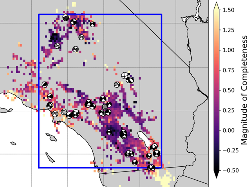
Map of southern California showing relationship between observed foreshock prevalence and magnitude of completeness
Posted inEditors' Highlights

Most Southern California Mainshocks Follow Foreshocks

by G. P. Hayes 19 September 20196 October 2021

New research using a highly complete earthquake catalog shows that 72% of M4+ mainshocks are preceded by foreshocks, implying that foreshock activity is much more prevalent than previously thought.

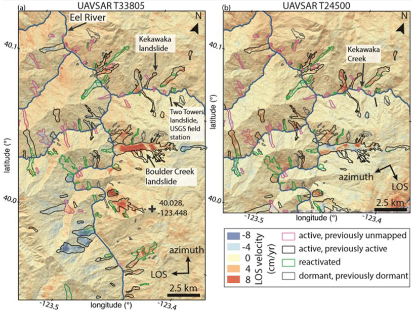
Map of landslide activity in California between April 2016 and February 2018
Posted inEditors' Highlights

Landslide Activity Ramps Up With Extreme Rainfall

by Amy E. East 29 July 201923 January 2023

An increase in activity of hundreds of slow-moving landslides during extreme wet conditions in California provides insights into the landscape response to ongoing climate change.

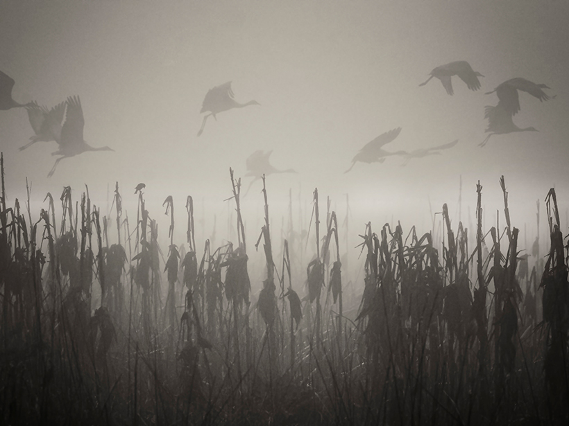
Sandhill cranes fly through the tule fog in the Merced National Wildlife Refuge
Posted inResearch Spotlights

Fading Air Pollution Reduces Fog in Central Valley

Aaron Sidder, freelance science writer by Aaron Sidder 12 June 20197 February 2024

The tule fog in California’s Central Valley is notorious for causing delays and accidents throughout the region; however, a decrease in air pollutants is reducing the fog’s frequency.

The Bishop Tuff in California
Posted inResearch Spotlights

Paleomagnetism Indicators May Be Flawed

Aaron Sidder, freelance science writer by Aaron Sidder 3 June 201914 March 2023

A new study finds that magnetism in volcanic ash tuff forms through varied processes, calling into question previously reliable signatures used to study variations in Earth’s magnetic field.

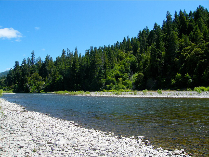
The south fork of the Eel River in California
Posted inResearch Spotlights

Answer to California Landscape Riddle Lies Underground

Elizabeth Thompson by Elizabeth Thompson 30 May 201915 November 2021

Scientists link vegetation mosaics in California to patterns of weathered bedrock.

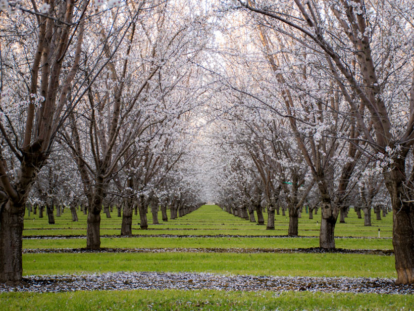
An almond orchard with trees in bloom
Posted inNews

California Heat Waves Triggered by Pacific Thunderstorms

Mary Caperton Morton, Science Writer by Mary Caperton Morton 29 April 201930 March 2023

New link may offer 5-week lead time on predicting extreme heat in California’s fruit belt.

Victorian-style houses lean dramatically to the right after an earthquake.
Posted inNews

More Than a Million New Earthquakes Spotted in Archival Data

Katherine Kornei, Science Writer by Katherine Kornei 19 April 20195 December 2022

By reanalyzing seismic records, researchers found a plethora of tiny earthquakes in Southern California that trace new fault structures and reveal how earthquakes are triggered.

A man kneels next to a road cracked by the 1928 San Jacinto earthquake.
Posted inNews

Reassessing California’s Overdue Earthquake Tab

Mary Caperton Morton, Science Writer by Mary Caperton Morton 12 April 20196 October 2021

Paleoseismic records show that the current 100-year hiatus since the last major event on the San Andreas, San Jacinto, and Hayward Faults is unprecedented in recent geologic history.

A Twin Otter turboprop flies over California, taking measurements of smoke from a wildfire.
Posted inResearch Spotlights

Probing Wildfire Smoke Plumes Up Close

Sarah Stanley, Science Writer by Sarah Stanley 10 April 201919 September 2022

Direct observations from flights over coastal California reveal more about aerosol plumes released by burning biomass.

Posts pagination

Newer posts 1 … 10 11 12 13 14 … 17 Older posts
A view of a Washington, D.C., skyline from the Potomac River at night. The Lincoln Memorial (at left) and the Washington Monument (at right) are lit against a purple sky. Over the water of the Potomac appear the text “#AGU24 coverage from Eos.”

Features from AGU Publications

Research Spotlights

Machine Learning Simulates 1,000 Years of Climate

27 August 202527 August 2025
Editors' Highlights

As Simple as Possible: The Importance of Idealized Climate Models

28 August 202526 August 2025
Editors' Vox

Waterworks on Tree Stems: The Wonders of Stemflow

21 August 202520 August 2025
Eos logo at left; AGU logo at right

About Eos
ENGAGE
Awards
Contact

Advertise
Submit
Career Center
Sitemap

© 2025 American Geophysical Union. All rights reserved Powered by Newspack