• About
  • Special Reports
  • Topics
    • Climate
    • Earth Science
    • Oceans
    • Space & Planets
    • Health & Ecosystems
    • Culture & Policy
    • Education & Careers
    • Opinions
  • Projects
    • Postcards From the Field
    • ENGAGE
    • Editors’ Highlights
    • Editors’ Vox
    • Eos en Español
    • Eos 简体中文版
    • Print Archive: 2015–2025
  • Policy Tracker
  • Blogs
    • Research & Developments
    • The Landslide Blog
  • Newsletter
  • Submit to Eos
  • AGU.org
  • Career Center
  • Join AGU
  • Give to AGU
  • About
  • Special Reports
  • Topics
    • Climate
    • Earth Science
    • Oceans
    • Space & Planets
    • Health & Ecosystems
    • Culture & Policy
    • Education & Careers
    • Opinions
  • Projects
    • Postcards From the Field
    • ENGAGE
    • Editors’ Highlights
    • Editors’ Vox
    • Eos en Español
    • Eos 简体中文版
    • Print Archive: 2015–2025
  • Policy Tracker
  • Blogs
    • Research & Developments
    • The Landslide Blog
  • Newsletter
  • Submit to Eos
Skip to content
  • AGU.org
  • Career Center
  • Join AGU
  • Give to AGU
Eos

Eos

Science News by AGU

Support Eos
Sign Up for Newsletter
  • About
  • Special Reports
  • Topics
    • Climate
    • Earth Science
    • Oceans
    • Space & Planets
    • Health & Ecosystems
    • Culture & Policy
    • Education & Careers
    • Opinions
  • Projects
    • Postcards From the Field
    • ENGAGE
    • Editors’ Highlights
    • Editors’ Vox
    • Eos en Español
    • Eos 简体中文版
    • Print Archive: 2015–2025
  • Policy Tracker
  • Blogs
    • Research & Developments
    • The Landslide Blog
  • Newsletter
  • Submit to Eos

AGU Advances

Visit the journal.

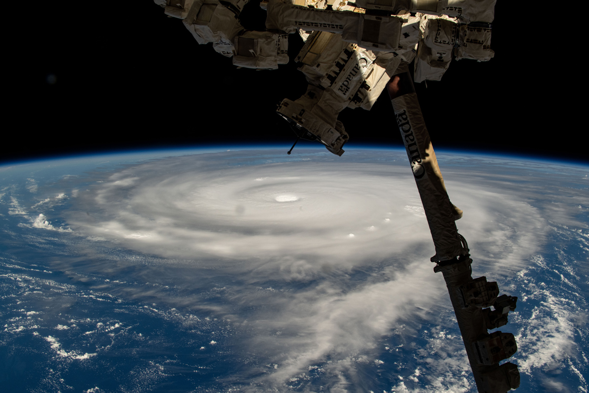
The International Space Station captures a photo of Typhoon Neoguri in 2025 from orbit. A portion of a robotic arm is visible in the frame.
Posted inResearch Spotlights

Rapid-Scan Satellite Data Offer Clues to Typhoon Intensity

Aaron Sidder, freelance science writer by Aaron Sidder 17 November 202617 November 2026

High-frequency wind estimates derived from Fengyun-4B satellite images reveal changing typhoon structure and may improve short-term intensity predictions.

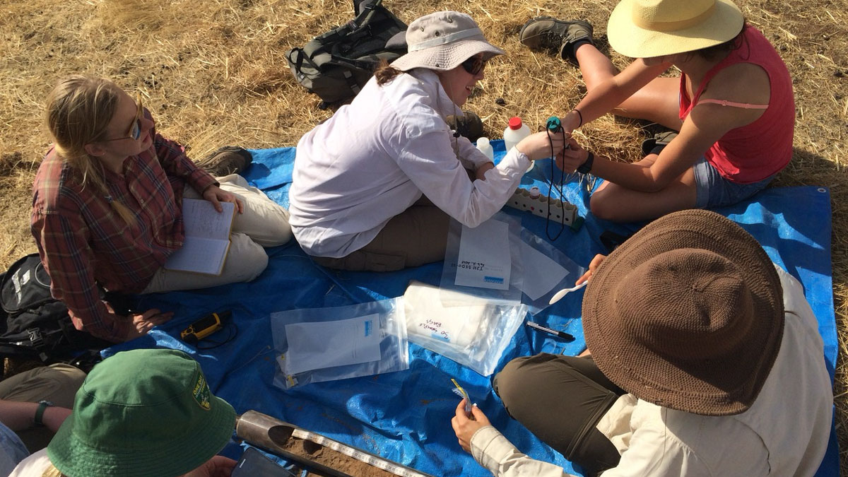
五个人坐在铺于褐色草地上的防水布上。其中两人之间放着一个土壤岩芯样本,防水布上还散落着贴有标签的自封袋,用于盛放样本。
Posted inResearch Spotlights

八成研究人员称在野外工作期间遭遇过有害互动

by Rebecca Owen 13 November 202613 November 2026

一项最新调查显示,野外工作期间发生有害互动的情况十分普遍,而许多此类事件并未被正式上报。一项新调查为此指明了改进的方向。
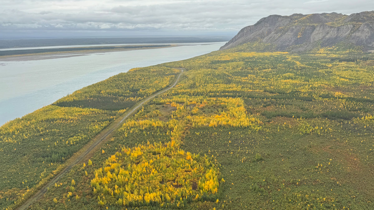
An overhead view of an area dotted with green and yellow foliage. A road runs through it into the distance alongside a river on the left.
Posted inResearch Spotlights

Airborne Imaging Explores a Mosaic of Thawing Permafrost

by Nathaniel Scharping 10 November 202610 November 2026

One unexpected finding is that large, interconnected areas of thaw underlie many water bodies.

从空中拍摄的云层漂浮在白雪覆盖的山脉上。
Posted inResearch Spotlights

高山上的云,舞姿别样

by Rebecca Dzombak 10 November 202610 November 2026

由于气候变化,青藏高原和安第斯山脉的云层比其他地区的云更冷、更高。这可能会影响当地的水文循环和辐射过程。

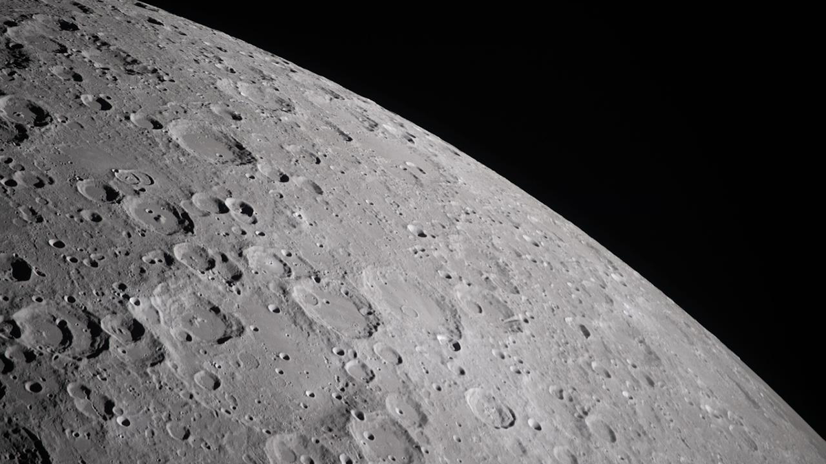
Photo of the moon's surface.
Posted inEditors' Highlights

Disappearing Moon Craters

by Vincent Salters 9 November 2026

Modeling of small lunar craters demonstrates that topography- and size-dependent degradation rates affect crater-based age determinations and constrain the origin and preservation timescales of lunar water ice.
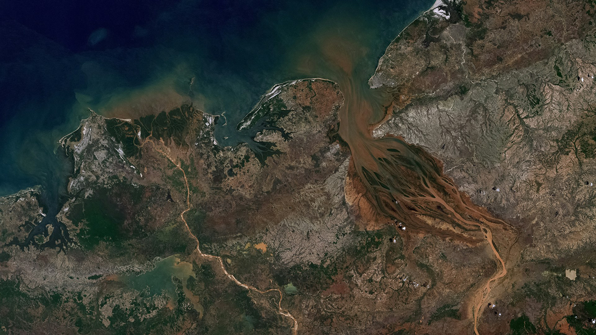
Satellite image of a river delta.
Posted inEditors' Highlights

Deltas Retain 28% of Global River Sediment, the Rest Enters the Ocean

by M. Bayani Cardenas 4 November 20269 November 2026

Rivers transport sediment to the coast, but how much gets offshore is a mystery. A new study shows that deltas retain 28% of the global riverine sediment discharge with most trapped in large deltas.
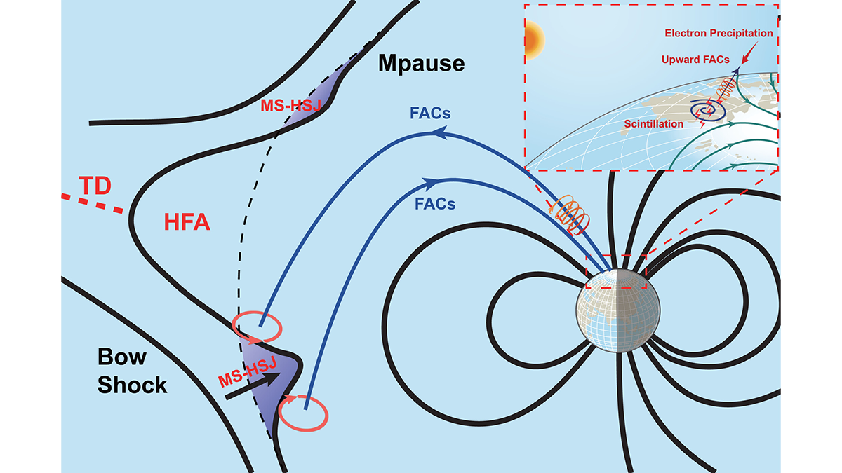
Schematic diagram from the article.
Posted inEditors' Highlights

Connecting Radio Wave Disruption to “Hot” Charged Particles from Afar

by Andrew Yau 30 October 202630 October 2026

A tag-team of satellites and ground GNSS receivers track down the source of a radio signal disruption (scintillation) from afar—a “hotspot” of plasma some 60,000 kilometers away.
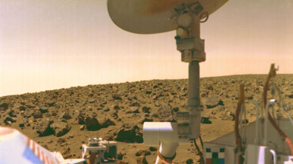
White space probe instruments and mechanical parts, with red Martian landscape behind.
Posted inResearch Spotlights

InSight into Seismology on the Red Planet

by Matthew R. Francis 21 October 202621 October 2026

Viking 2 detected two possible marsquakes in 1976. New analysis links one to the same region where InSight recorded nearly 1,000 marsquakes decades later.
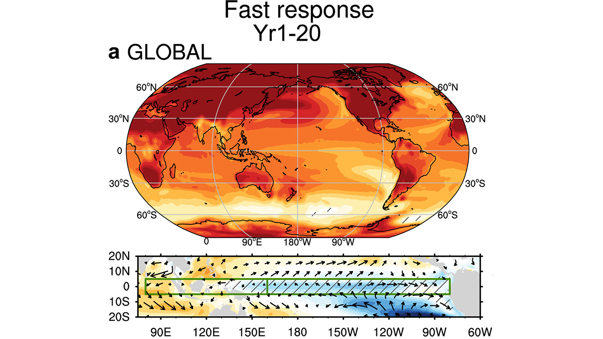
Global map of surface air temperature and diagram of wind stress.
Posted inEditors' Highlights

Equatorial Pacific Warming Pattern Mitigated by Slow Ocean Adjustment

by Alberto Montanari 19 October 202619 October 2026

Model simulations under an abrupt 4x CO2 scenario reveal that initially enhanced gradients in sea surface temperature under global warming are then mitigated by circulation changes.
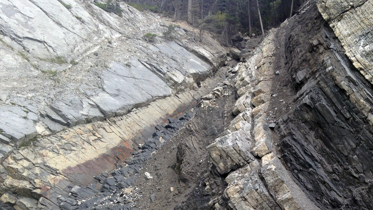
A rock outcrop.
Posted inEditors' Highlights

Biosignatures Extend Robustly into the Top Kilometer of Sedimentary Basins

by Sharon Billings 19 October 202619 October 2026

Through the top kilometer of sedimentary basins, biosignatures track microbial cells, permeability, and water inputs. Below that, permeability limits microbial presence despite temperatures conducive to life.

Posts pagination

1 2 3 … 39 Older posts
Over a dark blue-green square appear the words Special Report: The State of the Science 1 Year On.

Features from AGU Publications

Research Spotlights

Rapid-Scan Satellite Data Offer Clues to Typhoon Intensity

17 November 202617 November 2026
Editors' Highlights

Rethinking Where Rivers Begin

18 November 202616 November 2026
Editors' Vox

Bringing Python Solutions to Earth Science Challenges

19 November 202619 November 2026
Eos logo at left; AGU logo at right

About Eos
ENGAGE
Awards
Contact

Advertise
Submit
Career Center
Sitemap

© 2026 American Geophysical Union. All rights reserved Powered by Newspack