The hydraulic connection between a sinkhole and a natural spring—the longest and largest yet documented—could help reduce the guesswork in mapping karst aquifers.
aquifers
Posted inResearch Spotlights
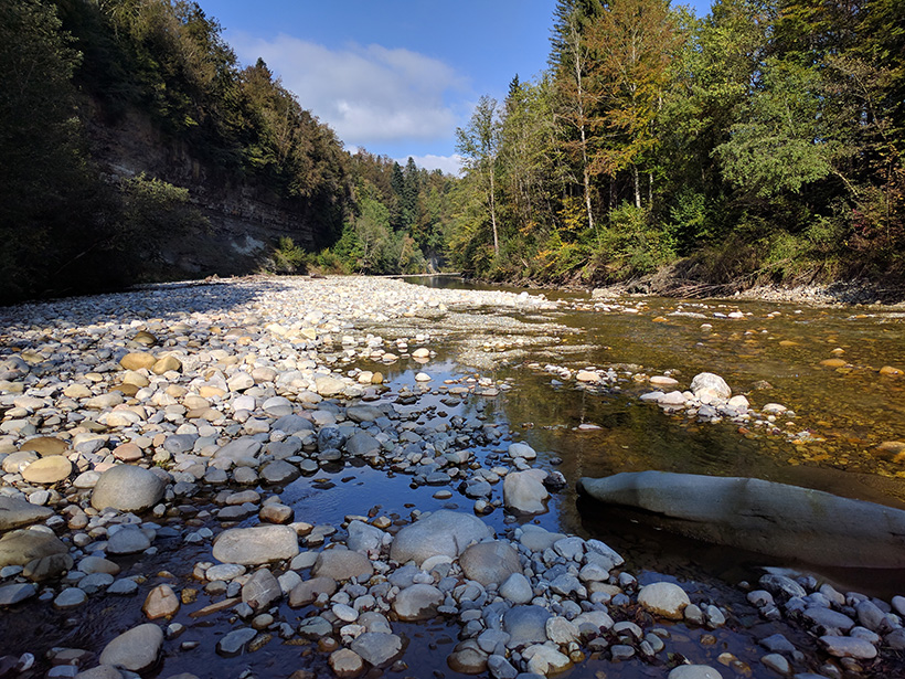
Tracing Water from River to Aquifer
A new technique using dissolved noble gas tracers sheds light on how water moves through an aquifer, with implications for water resources and their vulnerability to climate change.
Posted inResearch Spotlights
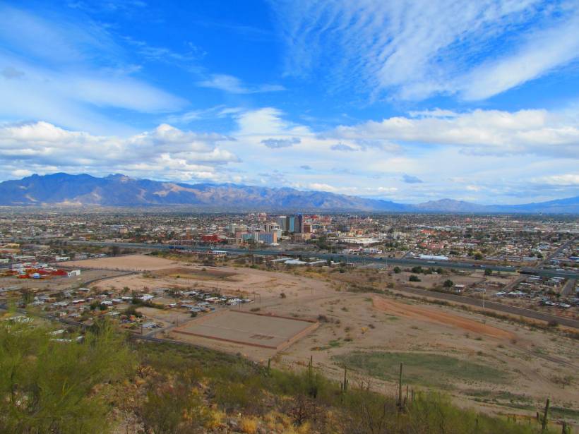
Parsing Routes to Aquifer Recharge Along Mountain Fronts
Research from the Tucson Basin indicates that tracers can be used to distinguish surface and subsurface recharge, providing crucial data to support sustainable water management in arid environments.

Posted inNews
Modeling Groundwater and Crop Production in the U.S. High Plains
Innovative new research by a team of international scholars borrows modeling methods from ecology and applies them to groundwater sustainability.

Posted inEditors' Highlights
Machine Learning Predicts Subsidence from Groundwater Pumping
Machine learning and data on aquifer type, sediment thickness, and proxies for irrigation water use has been used to produce the most comprehensive map of land subsidence in the western U.S. to date.
Posted inEditors' Highlights
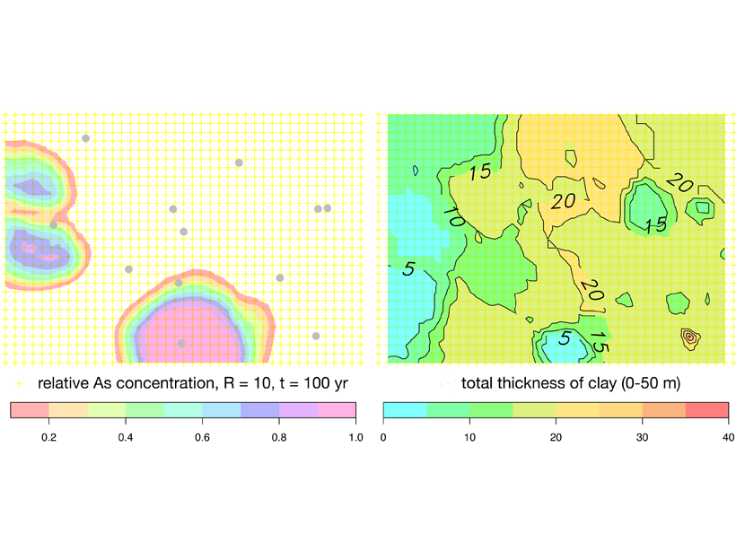
Arsenic Pollution in Bangladesh is Catching Up with Deeper Wells
Inhabitants of Bangladesh have deepened drinking water wells to avoid extracting arsenic-rich groundwater from shallow aquifers, but these may not be free from pollution either.
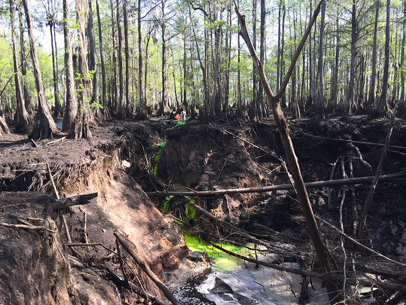
Posted inFeatures
Modeling Under Pressure
At a critical moment in the effort to end one of the world’s worst oil spills, one scientist holed up in his office and pulled an all-nighter to calculate the well’s aquifer support.

Posted inEditors' Highlights
Remotely Monitoring Groundwater Using Standard Techniques
Novel use of standard, single-station seismological techniques can be used to remotely monitor aquifer systems.
Posted inNews
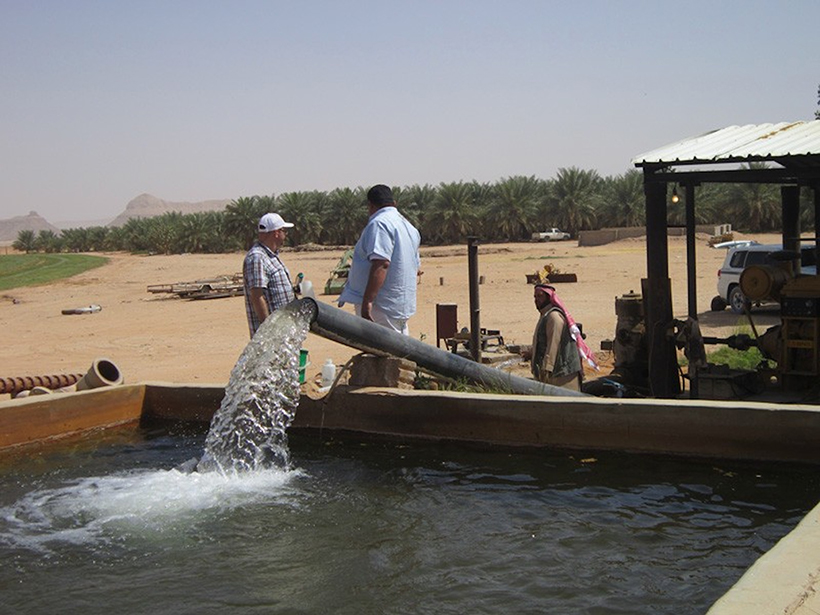
Arid Arabian Peninsula Is Tapping into Vast Groundwater Reserves
A new, multipronged study sheds light on an ancient aquifer system.
Posted inNews
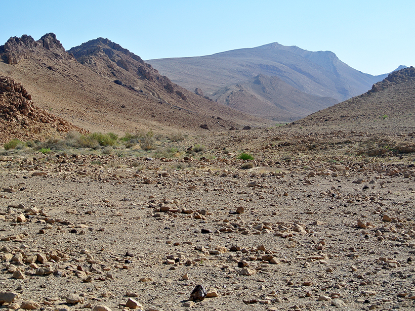
The Dawning of the Age of Old Aquifers
A new technique using 81Kr can measure the age of old groundwater in arid regions. The method can be used as a proxy for past climates and weather patterns.