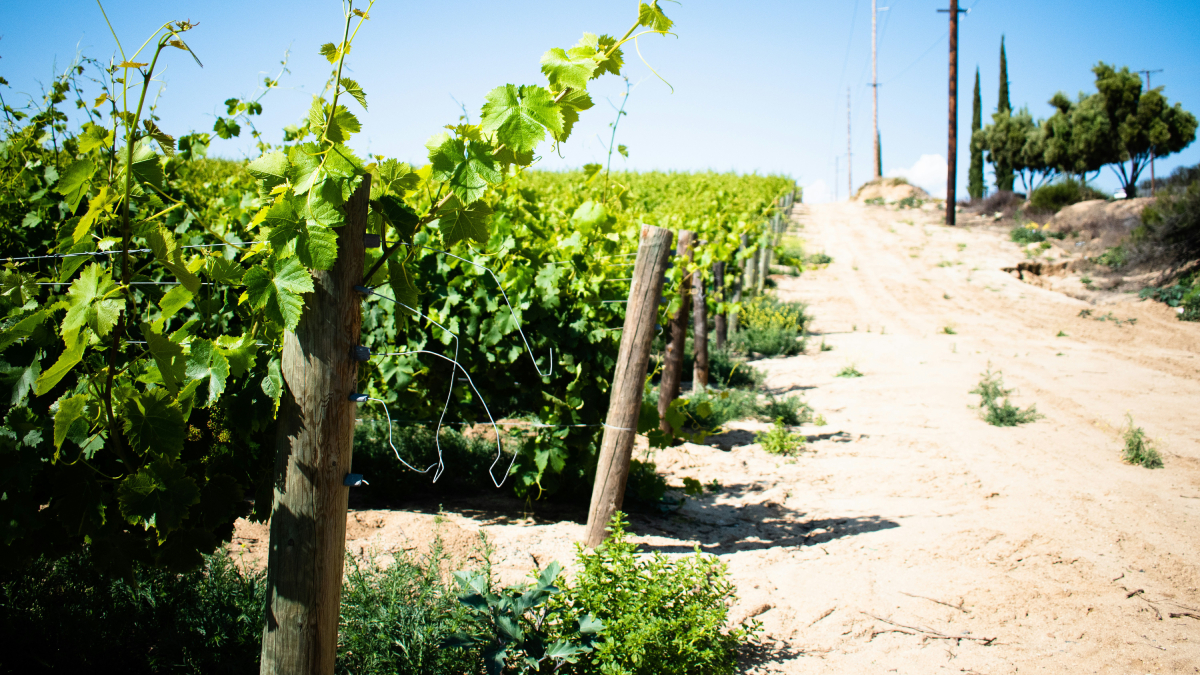
In regions where natural resources are scarce or economies depend on producing certain wines, adapting and diversifying grape crops is easier said than done.
business & industry
Posted inNews
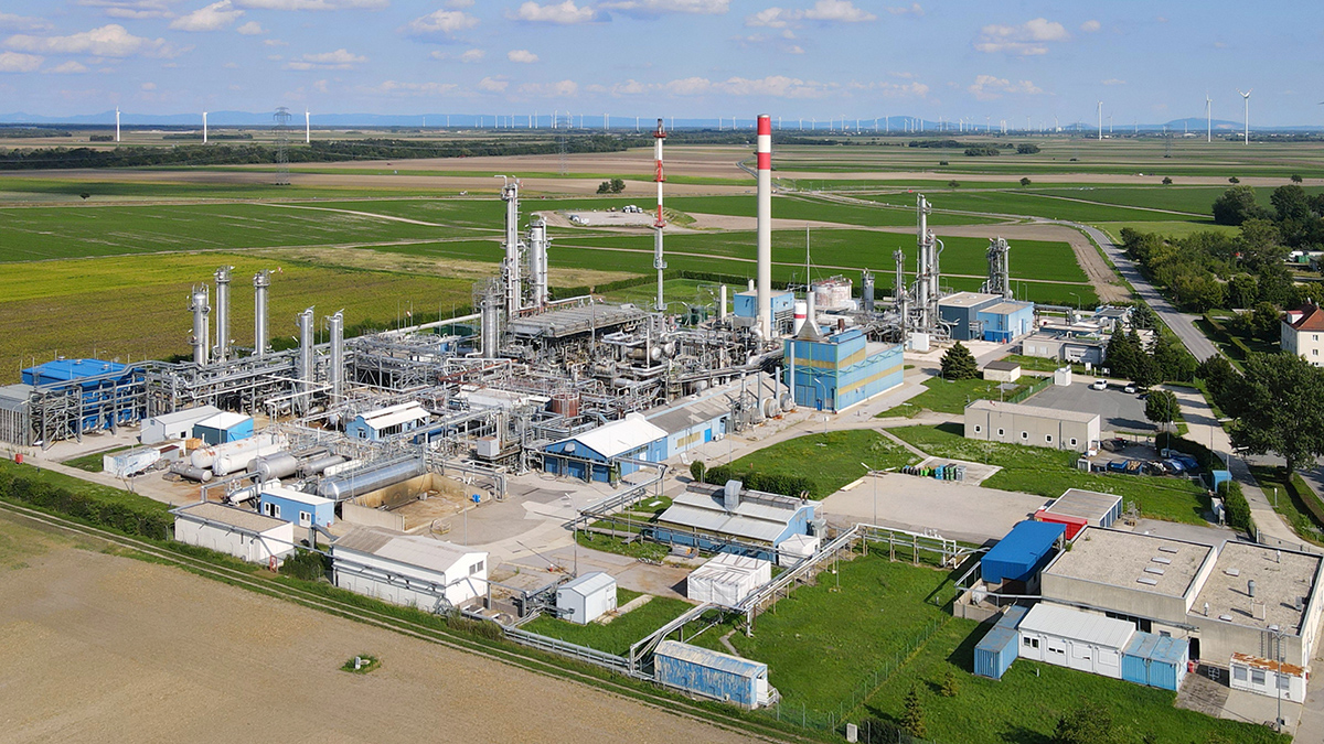
Methane Emissions from the Oil and Gas Industry Are Triple Current Estimates
A new study using aerial data reveals that fossil fuel extraction and processing are responsible for far more methane than previously believed.

Posted inFeatures, RTL
هل يمكن لغمر الأعشاب البحرية أن يبرّد المناخ؟.
يمكن للأعشاب البحرية المغمورة أن تخزّن الكربون في قاع المحيط، ولكن يظل من غير الواضح مدى فاعلية هذه الاستراتيجية، وكيف ستؤثر على صحة المحيط.

Posted inFeatures
Can the Belt and Road Go Green?
China’s global infrastructure investments could tip the scales on climate change, but its relationship with partner countries is complicated.
Posted inNews
Los países más pobres enfrentan consecuencias más graves del cambio climático
A medida que los bosques se desplazan hacia latitudes más altas, las naciones enfrentan pérdidas tanto de beneficios ecosistémicos de mercado como no mercantiles.

Posted inNews
Commercial Lander Touches Down on Moon
The first Intuitive Machines lunar mission carries/carried six scientific payloads from NASA to contribute to the Artemis Program.
Posted inNews
Poorer Countries Face Heavier Consequences of Climate Change
As forests shift to higher latitudes, nations to reckon with losses of both market and nonmarket ecosystem benefits.

Posted inResearch Spotlights
High Water Levels Cause Problems for Mississippi Shipping
Source: Geophysical Research Letters Droughts’ effect on the navigability of rivers is well documented: During the summer and fall of 2022, barges in the Mississippi River were left stranded, raising concerns about increased shipping costs for key products. Between 2015 and 2019, barges carried an average of 400 million tons of goods along the Mississippi […]

Posted inFeatures
Can Submerging Seaweed Cool the Climate?
Submerged seaweed can store carbon at the bottom of the ocean, but how effective the strategy will be—and how it will affect ocean health—remains unclear.

Posted inFeatures
Oceanic Cacophony
The ocean is a pretty loud place, and anthropogenic noise is adding another layer to the soundscape.