How have scientists across Los Angeles used their skills to help their communities recover from the 2025 fires?
California
Posted inFeatures
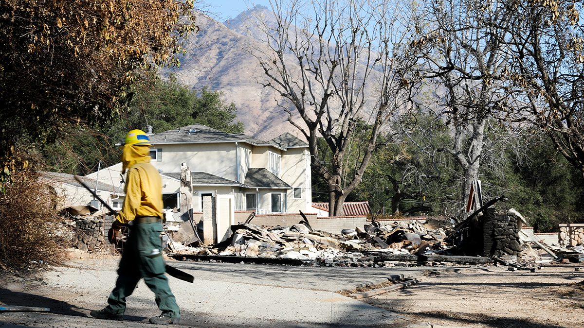
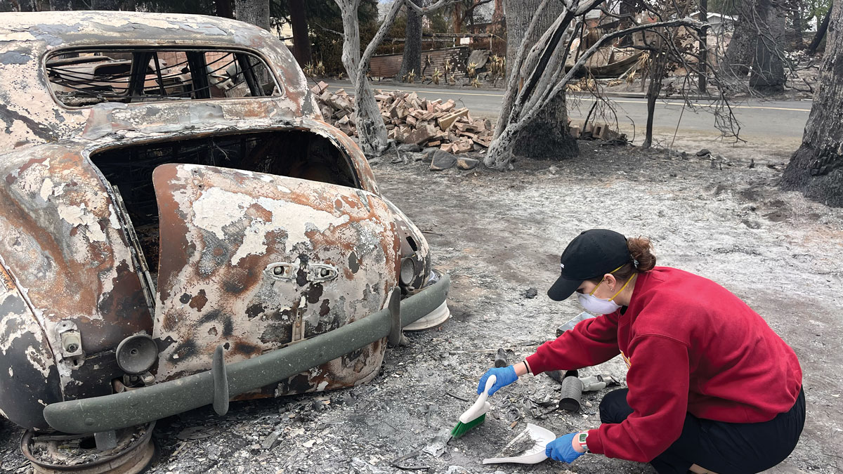
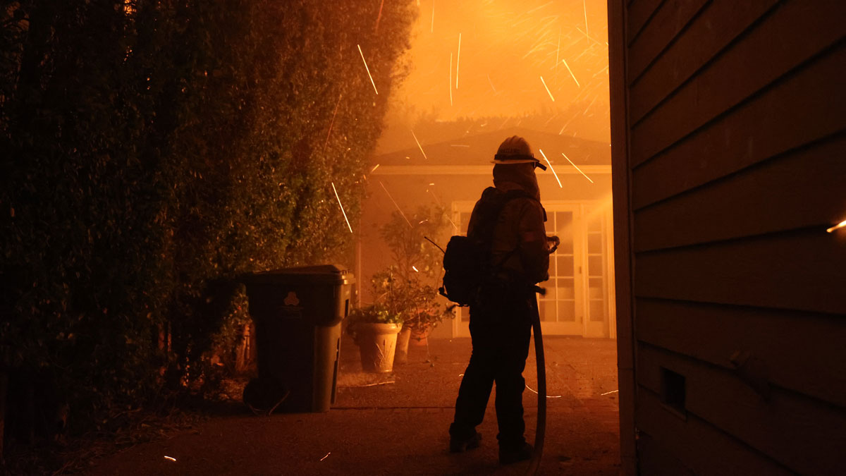
Burning Urban and Wild Land Alike
When more densely populated Altadena and Pacific Palisades burned along with surrounding wildlands, hazards for residents didn’t stop when the fires were contained.
Posted inNews
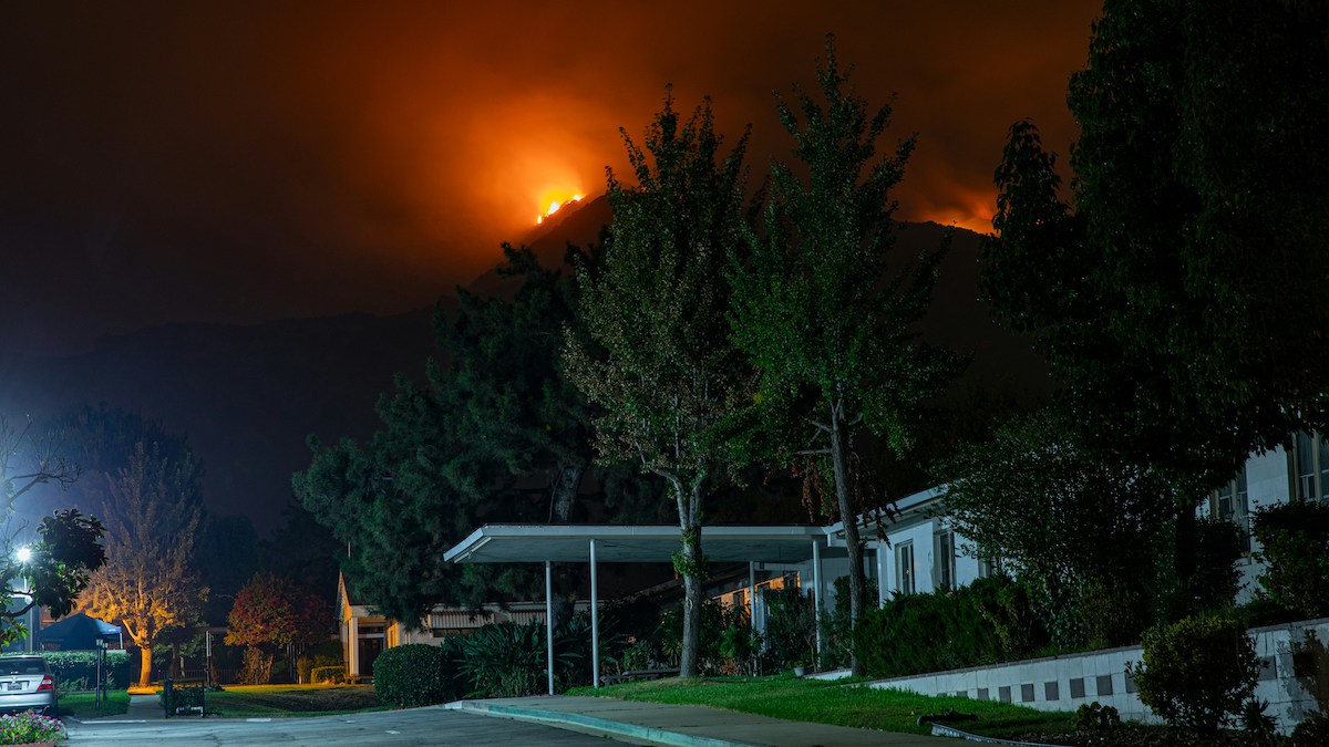
California’s Getting an Earlier Start to Wildfire Season
Human-caused climate change has pushed the onset of fire season in the state to as much as 46 days earlier than it was 30 years ago.
Posted inNews
Pollution from Wildfires Can Contaminate Our Water for up to 8 Years, Study Finds
An analysis of 500 watersheds found levels of organic carbon, phosphorus, and other pollutants up to 103 times higher after a wildfire.
Posted inNews
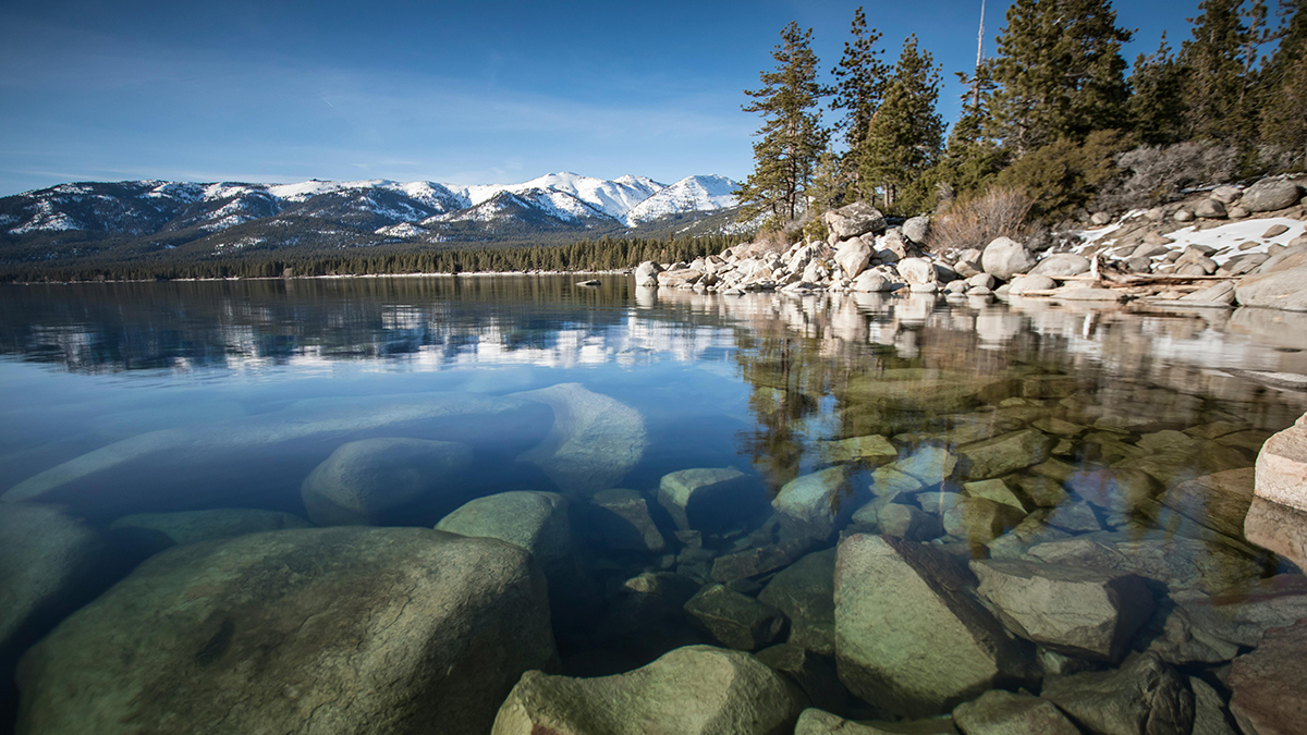
Precipitation Extremes Drive Swings in Lake Tahoe’s UV Exposure
An 18-year study reveals dramatic year-to-year variations in ultraviolet radiation penetration tied to Sierra Nevada precipitation cycles.

Posted inNews
Fallowed Fields Are Fueling California’s Dust Problem
New research shows that unplanted agricultural lands are behind most of the state’s anthropogenic dust events.
Posted inResearch Spotlights
Compost and Biochar Could Boost Carbon Sequestration by Crushed Rock
Crushed rock additives may also help decrease soil emissions of other greenhouse gases, such as nitrous oxide and methane.
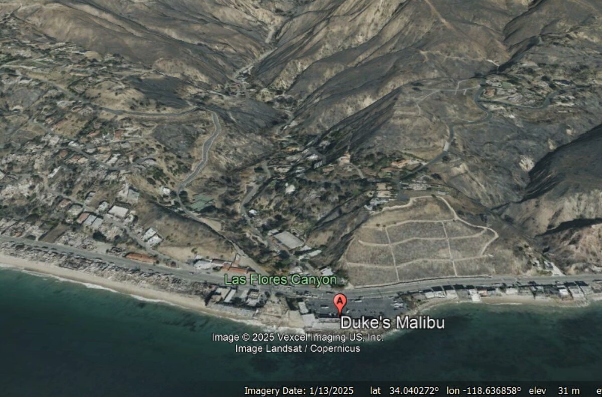
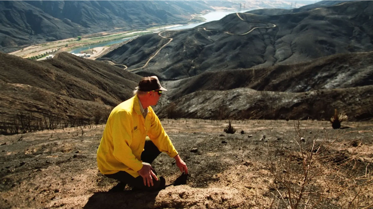
Posted inThe Landslide Blog
Post wildfire debris flows in Malibu, California
The Landslide Blog is written by Dave Petley, who is widely recognized as a world leader in the study and management of landslides. Last week, the first bout of heavy rainfall since the January 2025 wildfires struck Southern California, triggering the much-feared debris flows that were inevitable. The main rainfall occurred on 13 February 2025, […]
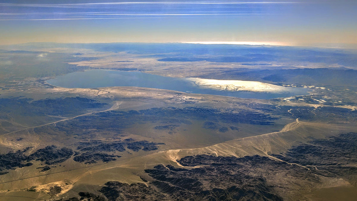
Posted inNews
The Deleterious Dust of the Salton Sea
Coarse particulate matter deriving from California’s largest lake is linked to an increased risk of respiratory-related hospitalizations.
Posted inNews
How Much Did Climate Change Affect the Los Angeles Wildfires?
High heat, dry fuel, and strong winds drove the Palisades and Eaton blazes.