
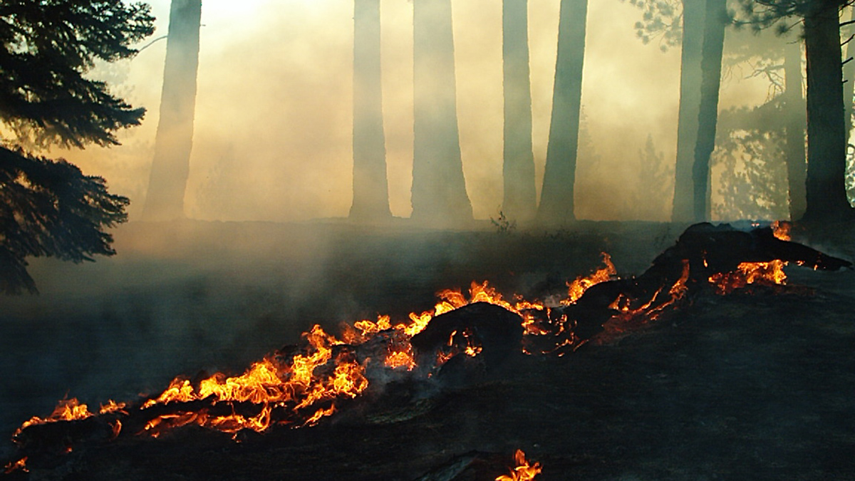
A new study reevaluates the use of vapor pressure deficit, or VPD, in climate models to predict increases in area burned by wildfire across the U.S. West.
California
Posted inNews
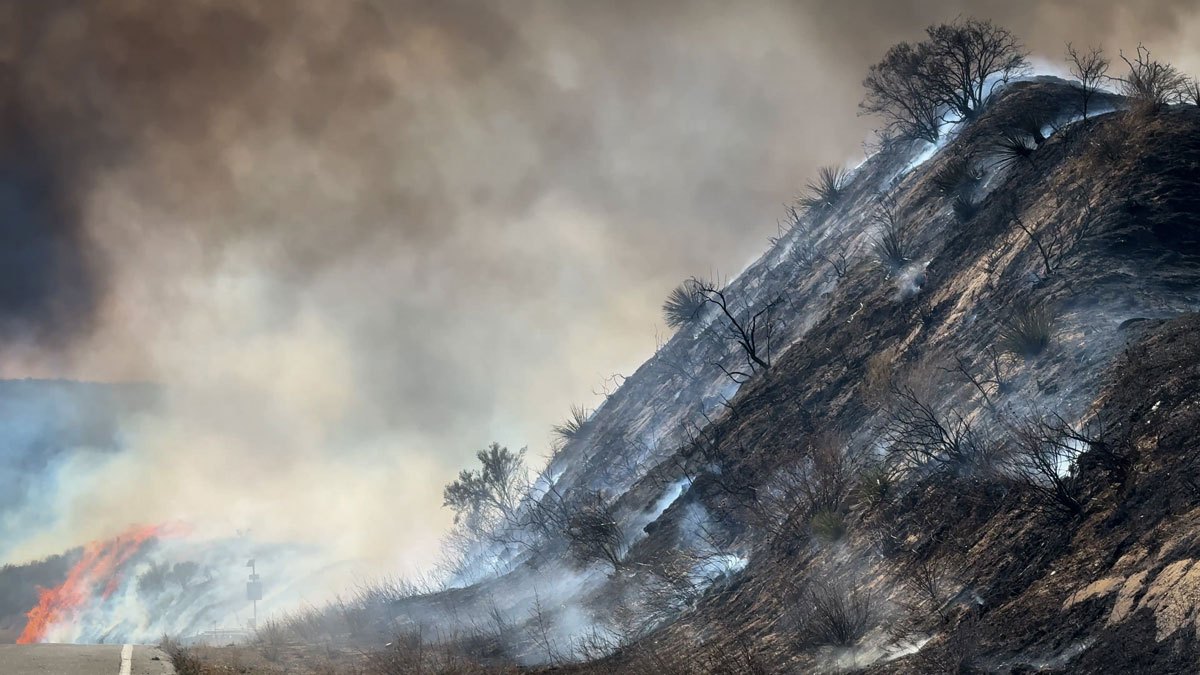
Low Snow in Eurasia Linked to Wildfires in California
Scientists found that low autumn snow levels in western Eurasia are associated with dry, warm winters in California, increasing the Golden State’s wildfire risk.
Posted inResearch Spotlights
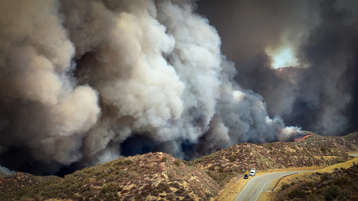
Want to Predict Wildfire Severity? Look to the State of Vegetation
A new study connects satellite data on vegetation condition, topography, and weather conditions to examine the predicted versus actual burn severity of the 2025 Los Angeles wildfires.

Posted inResearch & Developments
Temperatures Are Soaring in the Western United States. Climate Change is to Blame, Says a New Report.

A new rapid analysis by World Weather Attribution suggests that, based on a combination of observations and modeling, climate change has made the extreme temperatures forecasted for 18-22 March about 800 times more likely and 2.6°C hotter.
Posted inThe Landslide Blog
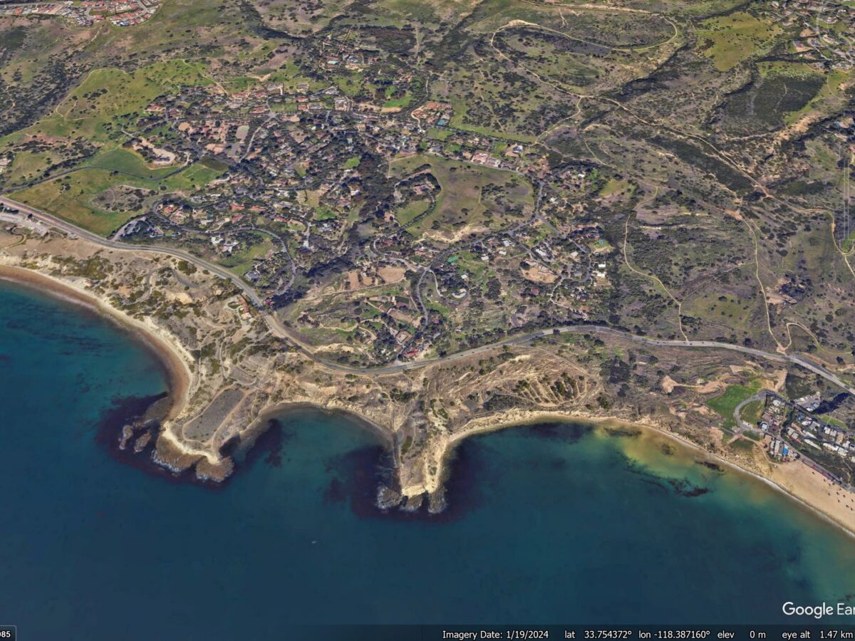
A renewed phase of movement at the Portuguese Bend Landslide Complex in Rancho Palos Verdes
Heavy winter rainfall has triggered further movement at this infamous landslide site in California, causing damage to properties and infrastructure The Portuguese Bend Landslide Complex in Rancho Palos Verdes in California frequently makes news headlines as phases of movement cause property damage. California has suffered a wet winter, which has driven a new phase of […]
Posted inNews
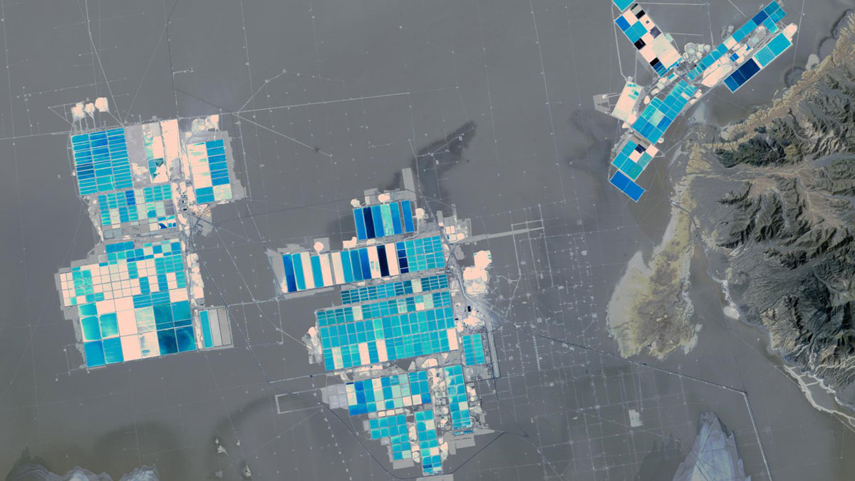
Engineering a Cleaner Way to Extract Lithium
The new chemical solvent technique could cut water use, speed extraction, and unlock reserves like California’s Salton Sea.
Posted inEditors' Highlights
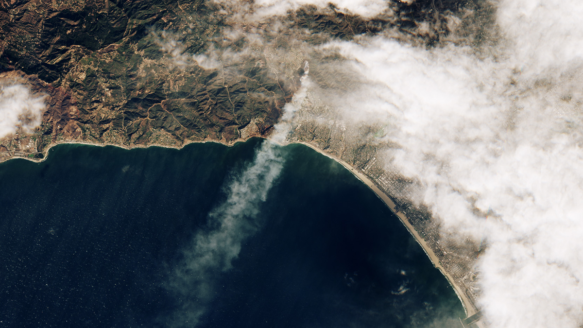
Satellite View of the California Wildfires of January 2025
Satellite observations of the southern California wildfires of 2025 reveal that almost all the burned areas were reached by fire within 24 hours, and wildfires in residential areas burned more intensely than nearby natural vegetation fires at night.
Posted inEditors' Highlights
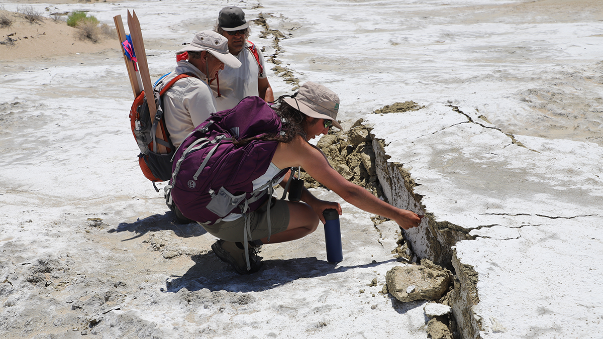
Are We Really Seeing More Foreshocks with Enhanced Catalogs?
Different definitions and selection methods can lead to large differences in estimated foreshock rates; however, robust statistical method shows that foreshock rates are similar between standard and enhanced catalog.
Posted inResearch Spotlights
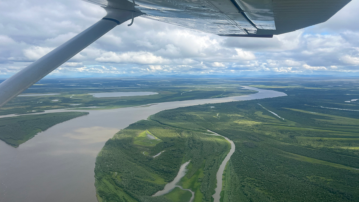
Climate Modeling for Communities, with Communities
End users, such as Indigenous community members developing climate adaptation efforts, make better use of climate models when researchers collaborate with them from the start.

Posted inENGAGE, News
California Schools Are Feeling the Heat
Even though trees help keep children safe from the Sun, some school districts have lost 25% of their tree canopy in just 4 years.