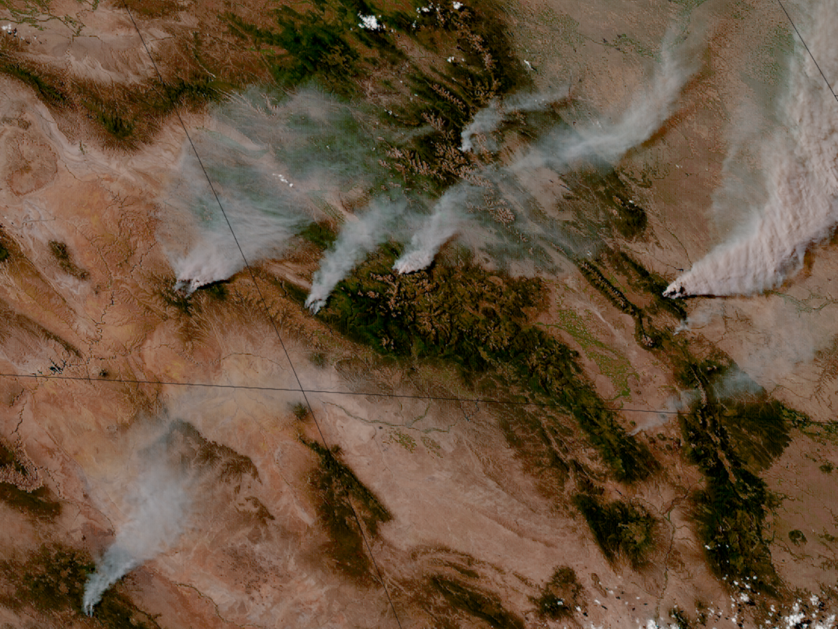
The fires come in the wake of historically low amounts of snow in the American West, as well as organizational changes at the U.S. Forest Service.
Colorado
Posted inNews
Pay Dirt: How Colonialism Left Its Mark on the Soil of the American Southwest
An alpine lake holds traces of how Spanish conquistadors kicked up dust as they colonized the Southwest.
Posted inOpinions
Archetypes Could Accelerate Agricultural Adaptation to Less Snowpack
Measurable characteristics can be used to develop archetypes of complex agricultural systems, helping stakeholders to assess where different adaptation strategies are more likely to succeed.
Posted inResearch & Developments
Judge Blocks NSF From Dismantling NCAR
“NSF’s failure to provide any explanation for its decision—let alone a reasonable one—thwarts meaningful judicial review and renders the challenged action arbitrary and capricious,” the judge wrote.
Posted inNews
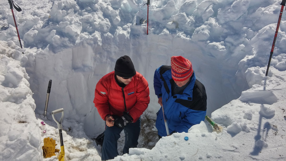
When the Snow Melts, Microbes Bloom
A new study illuminates a complex and changing world of microbes and nitrogen cycling that occurs during the winter.

Posted inNews
Denver’s Stinkiest Air Is Concentrated in Less Privileged Neighborhoods
The bad odors of air pollution are difficult to regulate, but can pose significant health risks, reduce a home’s property value, and affect a homeowner’s peace of mind.

Posted inResearch Spotlights
Teaming Up to Tailor Climate Education for Indigenous Communities
A new college-level curriculum, cocreated by Indigenous and Western researchers, could help Indigenous communities adapt to climate change on the Colorado Plateau.

Posted inEditors' Highlights
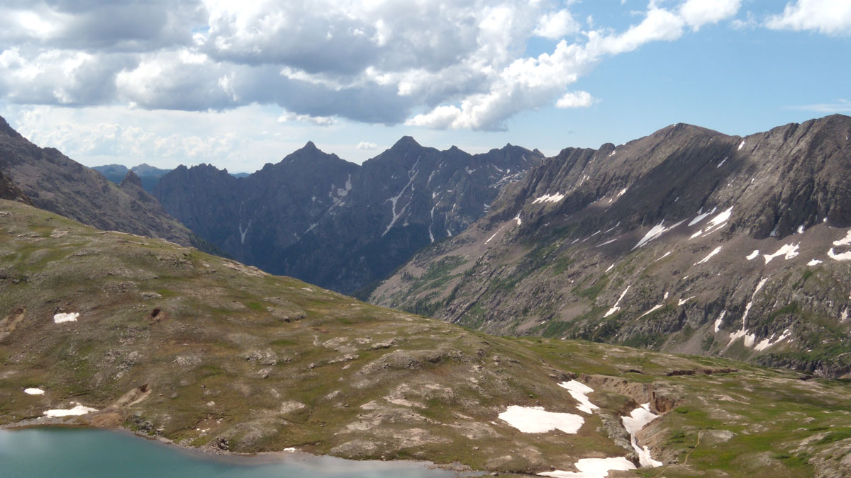
Logjams Promote Floodplain Complexity and Hydraulic Resistance
Using a new model, scientists compare logjam hydraulic impact across 37 reaches observed over 11 years in the Colorado Rockies.
Posted inEditors' Highlights
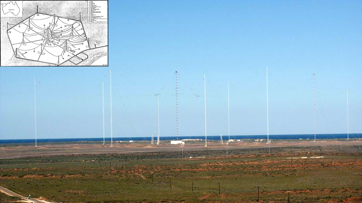
Ground-based Transmitters Cause Radiation Belt Electron Loss
A U.S. Navy transmitter in Australia produces wisps of electron loss as observed by the Colorado Inner Radiation Belt Experiment (CIRBE) CubeSat in Low Earth Orbit.
Posted inNews
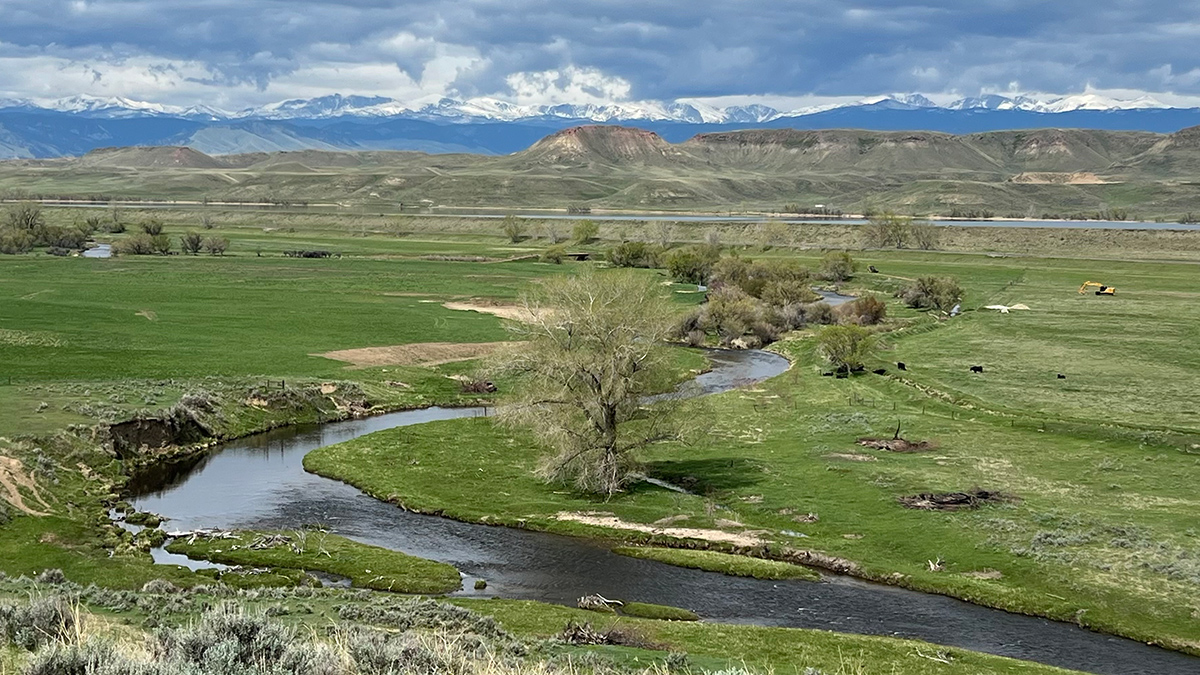
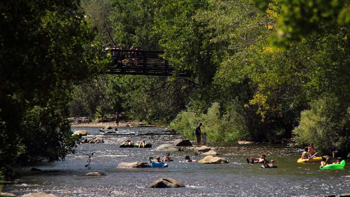
Labor Day Dips Alter Stream Composition
Holiday weekend tubing introduces toxic chemicals and shifts microbial communities in a popular Colorado river.