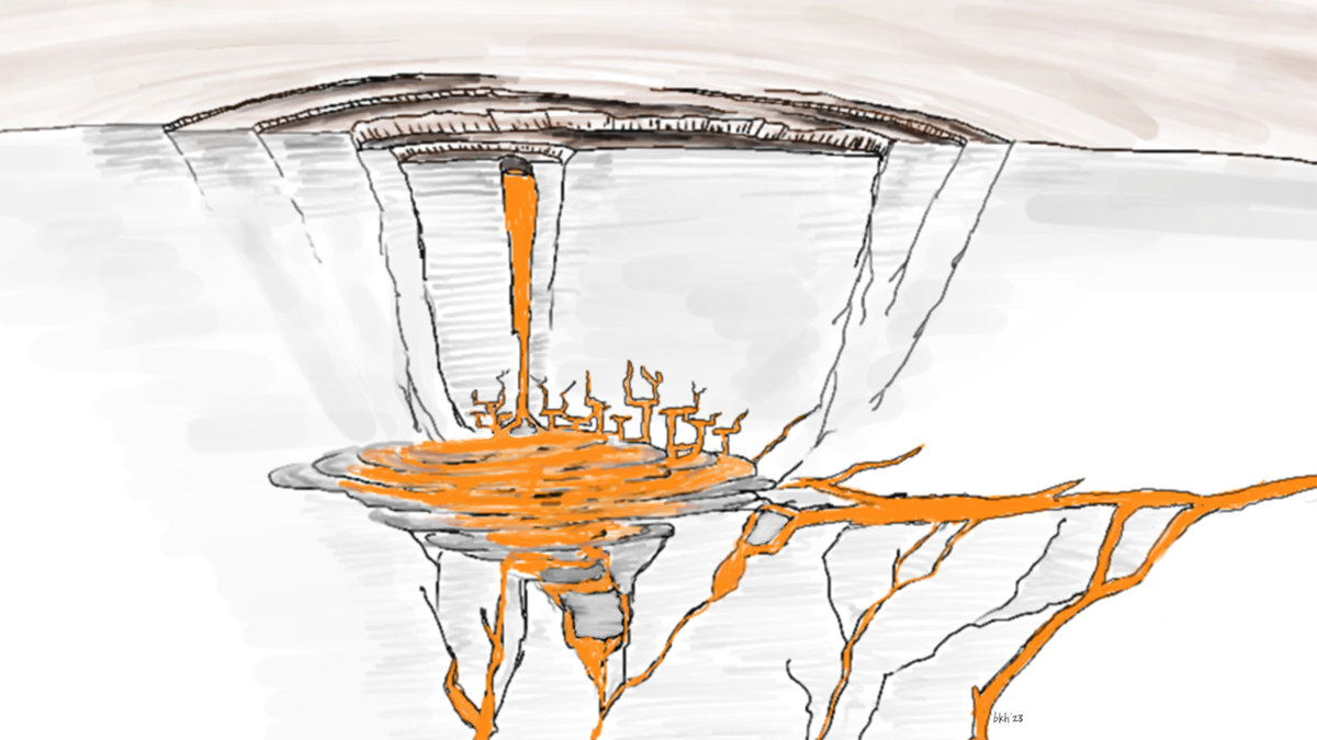
• About
  • Sections
  • Topics
    • Climate
    • Earth Science
    • Oceans
    • Space & Planets
    • Health & Ecosystems
    • Culture & Policy
    • Education & Careers
    • Opinions
  • Projects
    • ENGAGE
    • Editors’ Highlights
    • Editors’ Vox
    • Eos en Español
    • Eos 简体中文版
    • Print Archive
  • Science Policy Tracker
  • Blogs
    • Research & Developments
    • The Landslide Blog
  • Newsletter
  • Submit to Eos
  • AGU.org
  • Career Center
  • Join AGU
  • Give to AGU
  • About
  • Sections
  • Topics
    • Climate
    • Earth Science
    • Oceans
    • Space & Planets
    • Health & Ecosystems
    • Culture & Policy
    • Education & Careers
    • Opinions
  • Projects
    • ENGAGE
    • Editors’ Highlights
    • Editors’ Vox
    • Eos en Español
    • Eos 简体中文版
    • Print Archive
  • Science Policy Tracker
  • Blogs
    • Research & Developments
    • The Landslide Blog
  • Newsletter
  • Submit to Eos
Skip to content
  • AGU.org
  • Career Center
  • Join AGU
  • Give to AGU
Eos

Eos

Science News by AGU

Support Eos
Sign Up for Newsletter
  • About
  • Sections
  • Topics
    • Climate
    • Earth Science
    • Oceans
    • Space & Planets
    • Health & Ecosystems
    • Culture & Policy
    • Education & Careers
    • Opinions
  • Projects
    • ENGAGE
    • Editors’ Highlights
    • Editors’ Vox
    • Eos en Español
    • Eos 简体中文版
    • Print Archive
  • Science Policy Tracker
  • Blogs
    • Research & Developments
    • The Landslide Blog
  • Newsletter
  • Submit to Eos

cool tools

Vista de satélite de Hong Kong y el mar adyacente. La ciudad se asienta principalmente en los valles de la zona y cercana a las costas, mientras que las montañas presentan pocas manchas urbanas.
Posted inResearch Spotlights

Mapeando estimaciones de la contaminación a nivel de calle para encontrar rutas más seguras

by Morgan Rehnberg 20 December 202220 December 2022

Un nuevo enfoque de alta resolución que combina múltiples tipos de datos detección remota de la contaminación permitió a investigadores desarrollar una aplicación que mapea las rutas más saludables para los transeúntes urbanos.

White outline of world continents against a black backdrop. Purple and yellow lines connect some points.
Posted inNews

Spurring Ocean Research with Open Data

by Robin Donovan 9 December 202210 December 2022

Ocean data abound, but accessing them is a challenge, making tackling climate change difficult. One nonprofit is trying to compile them.

Photo of blue ice wall with pieces of ice falling into water in the foreground, causing the water to splash
Posted inNews

Underwater Sounds Help Reveal Extent of Glacial Calving

by Elise Overgaard 9 December 20229 December 2022

If a glacier calves into the Arctic Ocean, does it make a sound? Some scientists say yes and have devised a clever way to use those sounds to calculate the size of the fallen ice chunks.

A yellow submarine-shaped autonomous underwater vehicle hangs from a cable over the side of ship as technicians and scientists look on.
Posted inResearch Spotlights

Exploring a Warm Water Inflow Below an Antarctic Ice Shelf

Sarah Derouin, Science Writer by Sarah Derouin 5 December 20225 December 2022

Researchers guided an autonomous underwater submarine to capture the first direct observations of a warm water current flowing in below the Filchner-Ronne Ice Shelf in Antarctica.

香港的卫星影像
Posted inResearch Spotlights

通过街道污染估计图选择更健康的通行路线

by Morgan Rehnberg 1 December 20221 December 2022

研究人员采用一种新的高分辨率方法结合多种类型的遥感污染数据,开发出一款应用程序,可为城市通勤者绘制最健康的路线。

Satellite view of Hong Kong
Posted inResearch Spotlights

Mapping Street-Level Pollution Estimates to Reveal Safer Routes

by Morgan Rehnberg 28 November 202220 December 2022

A new high-resolution approach combining multiple types of remotely sensed pollution data allowed researchers to develop an app that maps the healthiest routes for urban commuters.

Four CubeSats close together in orbit above Earth.
Posted inOpinions

Looking to the Sky for Better Tsunami Warnings

by Shin-Chan Han, Simon McClusky, T. Dylan Mikesell, Paul Tregoning and Jeanne Sauber 4 November 20222 July 2025

Pairing navigation satellites and CubeSats could provide earlier, more accurate warnings of approaching tsunamis and other impacts of extreme events.

Drone footage of a blue whale surfacing to breathe off the coast of California.
Posted inNews

Scientists Tune In to Blue Whale Feeding Rhythms

by Bill Morris 26 October 20226 December 2022

New acoustic sensing technology is allowing scientists to track blue whale movements in real time, a breakthrough that could help save whales’ lives.

Abstract illustration of Earth made of bright points of light and flowing lines on a dark background
Posted inFeatures

How Quantum Computing Can Tackle Climate and Energy Challenges

by Annarita Giani and Zachary Goff-Eldredge 21 October 20221 June 2023

The day is coming when quantum computers, once the stuff of science fiction, will help scientists solve complex, real-world problems that are proving intractable to classical computing.

Skyline of a construction site in Mumbai, India
Posted inNews

Indian Cities Invest in Low-Cost Air Quality Sensors

by Deepa Padmanaban 19 October 202228 October 2022

The sensors help bridge gaps in air quality data due to critical shortages of government monitoring stations.

Posts pagination

Newer posts 1 … 6 7 8 9 10 … 36 Older posts
A view of a Washington, D.C., skyline from the Potomac River at night. The Lincoln Memorial (at left) and the Washington Monument (at right) are lit against a purple sky. Over the water of the Potomac appear the text “#AGU24 coverage from Eos.”

Features from AGU Publications

Research Spotlights

The Southern Ocean May Be Building Up a Massive Burp

20 October 202520 October 2025
Editors' Highlights

New Evidence for a Wobbly Venus?

29 September 202525 September 2025
Editors' Vox

Publishing Participatory Science: The Community Science Exchange

20 October 202517 October 2025
Eos logo at left; AGU logo at right

About Eos
ENGAGE
Awards
Contact

Advertise
Submit
Career Center
Sitemap

© 2025 American Geophysical Union. All rights reserved Powered by Newspack