
The extreme pressure in the deep sea stifles microbes’ appetite for organic carbon. This finding could have important implications for carbon budgets and geoengineering.
cool tools

Posted inNews
Drones Make Weather Prediction Easier at the Poles
Researchers measured wind speed with a commercially available drone and a lightweight sensor. The approach could help scientists gather more data from remote environments.

Posted inResearch Spotlights
Mapeando estimaciones de la contaminación a nivel de calle para encontrar rutas más seguras
Un nuevo enfoque de alta resolución que combina múltiples tipos de datos detección remota de la contaminación permitió a investigadores desarrollar una aplicación que mapea las rutas más saludables para los transeúntes urbanos.
Posted inNews
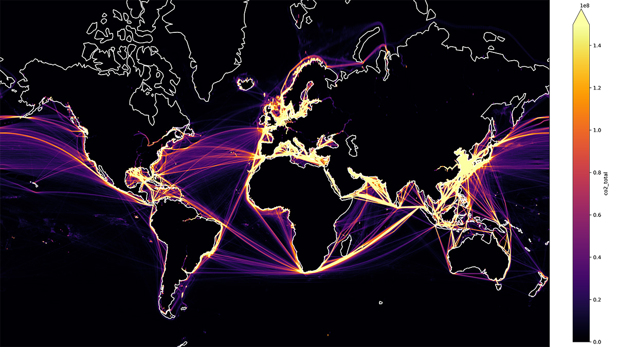
Spurring Ocean Research with Open Data
Ocean data abound, but accessing them is a challenge, making tackling climate change difficult. One nonprofit is trying to compile them.
Posted inNews
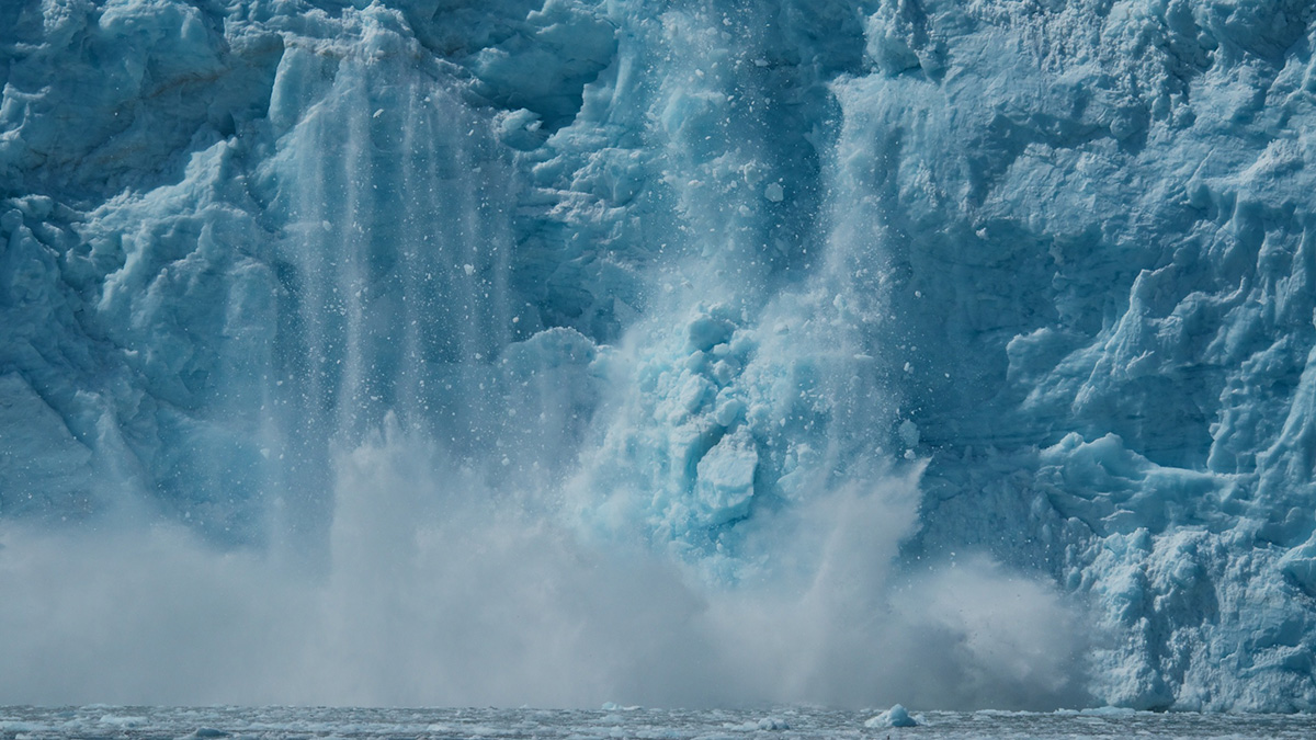
Underwater Sounds Help Reveal Extent of Glacial Calving
If a glacier calves into the Arctic Ocean, does it make a sound? Some scientists say yes and have devised a clever way to use those sounds to calculate the size of the fallen ice chunks.
Posted inResearch Spotlights
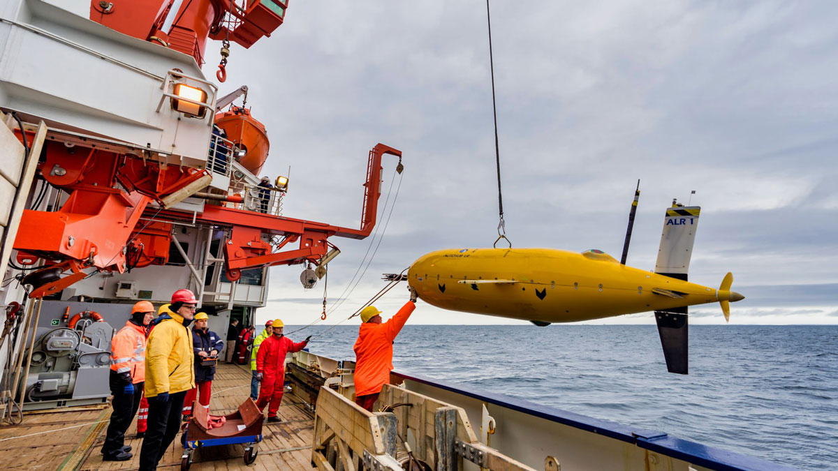
Exploring a Warm Water Inflow Below an Antarctic Ice Shelf
Researchers guided an autonomous underwater submarine to capture the first direct observations of a warm water current flowing in below the Filchner-Ronne Ice Shelf in Antarctica.
Posted inResearch Spotlights
通过街道污染估计图选择更健康的通行路线
研究人员采用一种新的高分辨率方法结合多种类型的遥感污染数据,开发出一款应用程序,可为城市通勤者绘制最健康的路线。

Posted inResearch Spotlights
Mapping Street-Level Pollution Estimates to Reveal Safer Routes
A new high-resolution approach combining multiple types of remotely sensed pollution data allowed researchers to develop an app that maps the healthiest routes for urban commuters.
Posted inOpinions
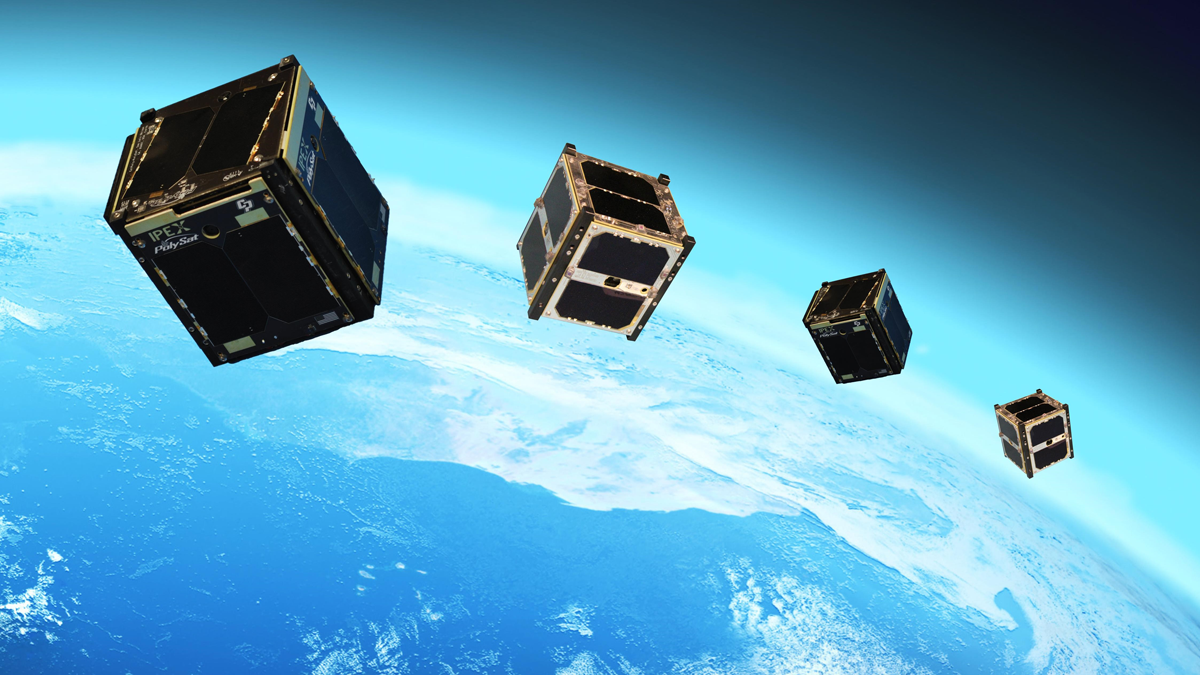
Looking to the Sky for Better Tsunami Warnings
Pairing navigation satellites and CubeSats could provide earlier, more accurate warnings of approaching tsunamis and other impacts of extreme events.
Posted inNews
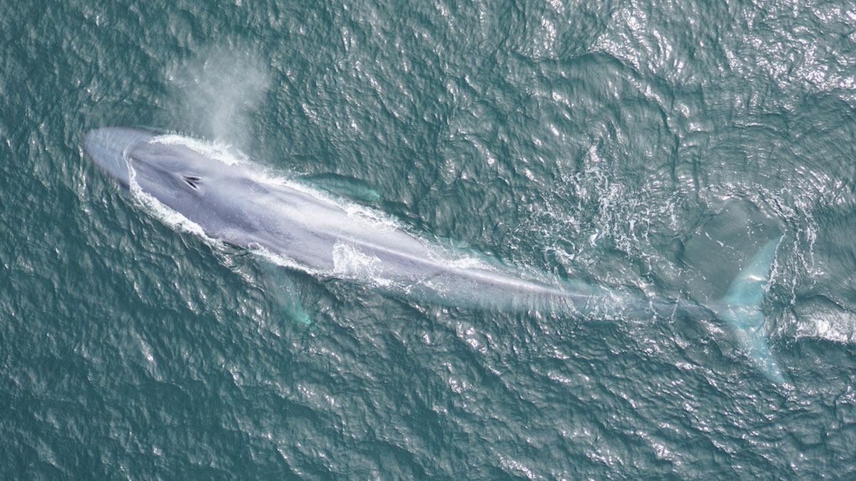
Scientists Tune In to Blue Whale Feeding Rhythms
New acoustic sensing technology is allowing scientists to track blue whale movements in real time, a breakthrough that could help save whales’ lives.