
In the early 1960s, a physicist enlisted the help of the public to study a rare atmospheric phenomenon.
crowdsourced science
Posted inEditors' Highlights
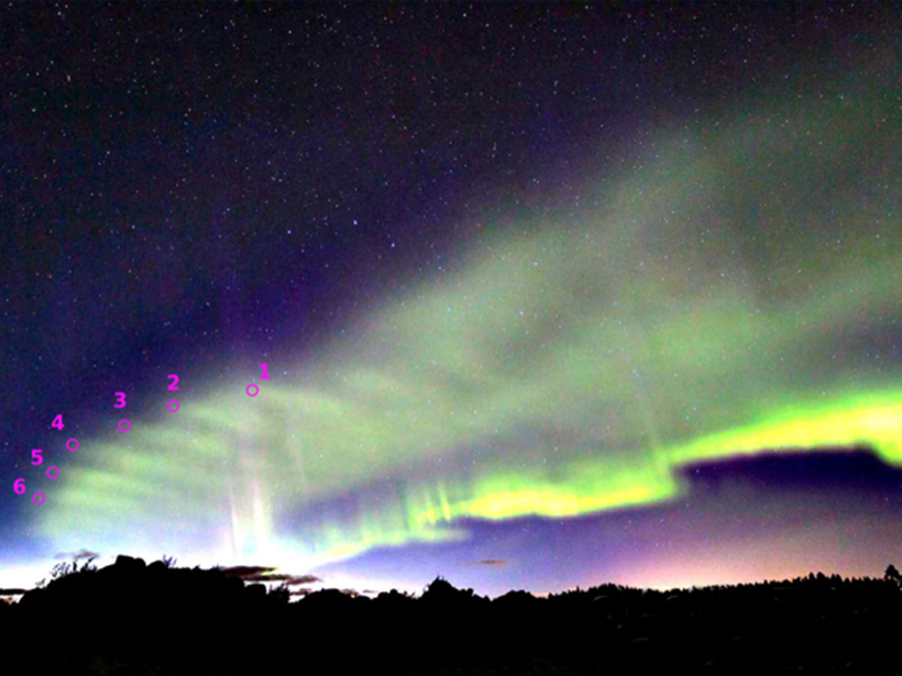
Skywatchers Spy Rippling Waves in the Northern Lights
Not to be outdone by the discovery of STEVE sub-auroral emissions last year, citizen scientists across Scandinavia reveal dune-shaped optical features, a new atmospheric phenomenon.

Posted inNews
What Makes for Ethical Citizen Science Research?
A new study explores questions of consent and coercion in citizen science.
Posted inNews
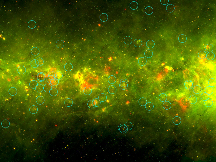
The “Yellowball” Catalog and the Citizen Science That Helped Define It
The online community of the Milky Way Project citizen scientists helped scientists identify compact star-forming regions now known as yellowballs.
Posted inResearch Spotlights
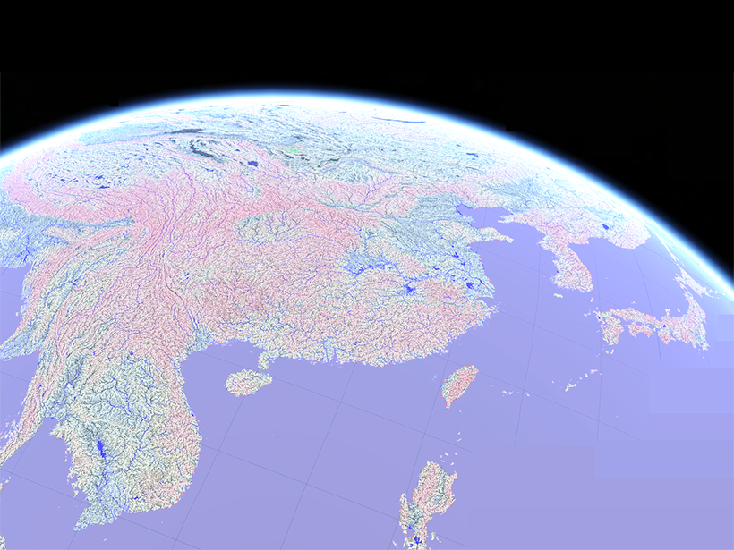
A More Accurate Global River Map
A new map of global river systems is based on crowdsourcing and the latest topography data sets.
Posted inOpinions
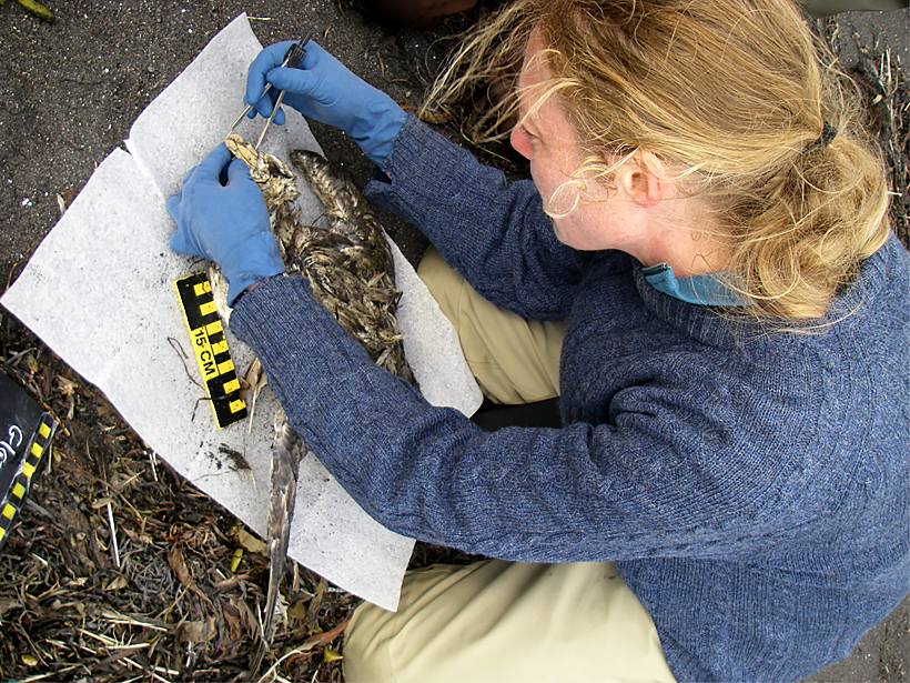
Science in This Century Needs People
An ecologist built an army of beach surveyors over 20 years and now has the world’s largest data set of marine bird mortality informing climate change and disaster studies.
Posted inAGU News
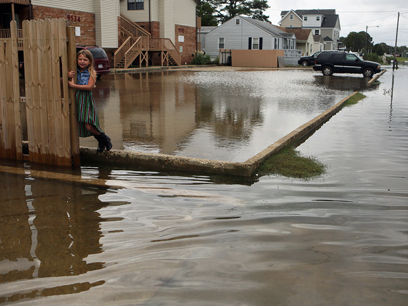
Grassroots Group Commended for Work on Flooding by Virginia House
Stop the Flooding NOW was founded by Virginia Beach residents who wanted to take action to address the chronic flooding in their community.
Posted inScience Updates
Indigenous Symposium on Water Research, Education, and Engagement
Water in the Native World: The Intersection of Hydrology and Indigenous Knowledge; Pablo, Montana, 1–4 August 2018

Posted inNews
A Meteor Struck the Moon During the Total Lunar Eclipse
Telescopes around the world detected an impact event on the lunar surface just before totality on Monday. Amateur and professional astronomers are starting to coordinate data.
Posted inAGU News
Community-Driven Science: Update on the Thriving Earth Exchange
As AGU marks its Centennial, our organization’s program that recruits volunteer scientists to help with local priorities celebrates 5 years of working in communities representing 12 million people.