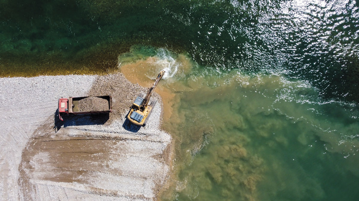
Sand is a foundational element of our cities, our homes, our landscapes and seascapes. How we will interact with the material in the future, however, is less certain.
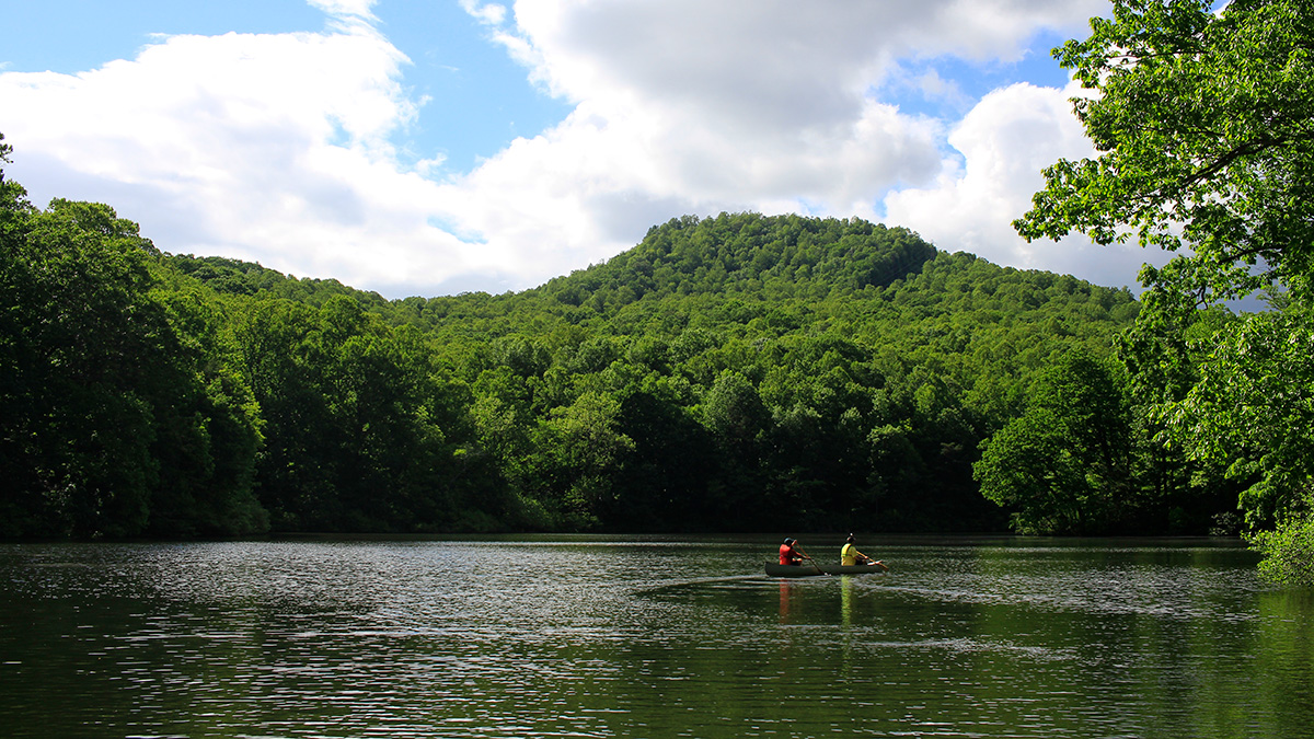
dams & reservoirs
Posted inNews
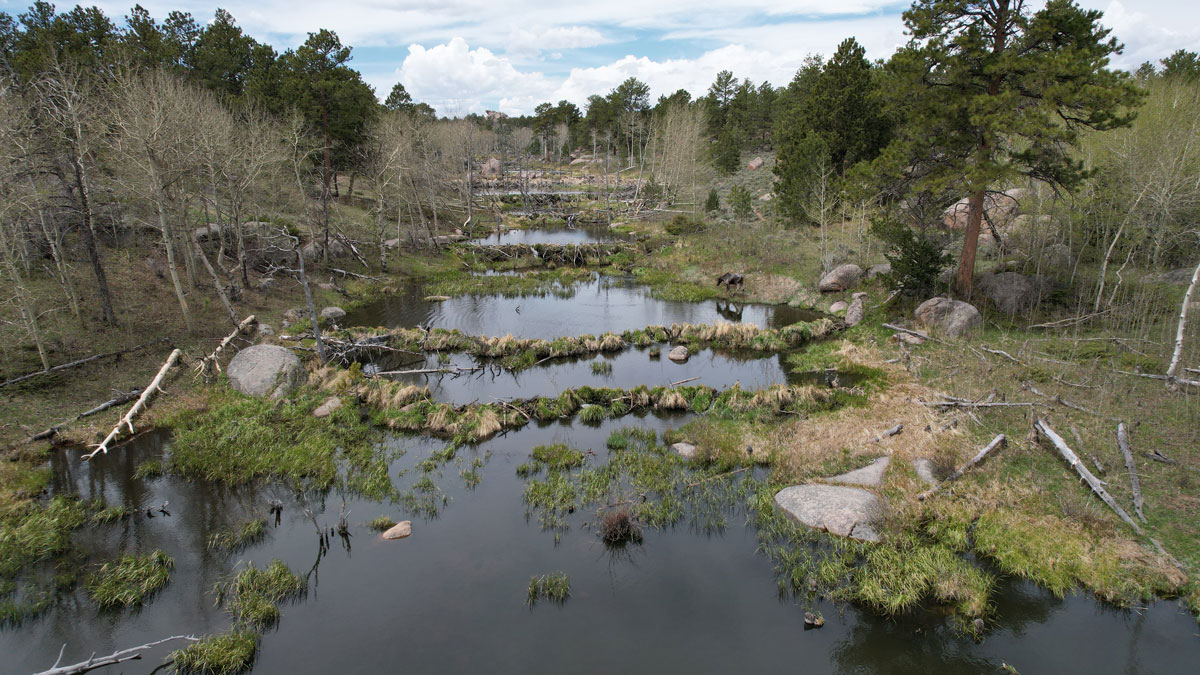
Scientists EEAGER-ly Track Beavers Across Western United States
Efficiently tracking nature’s engineers—beavers—at the scale of entire watersheds over time is now possible, thanks to a new artificial intelligence–trained model called EEAGER.
Posted inNews
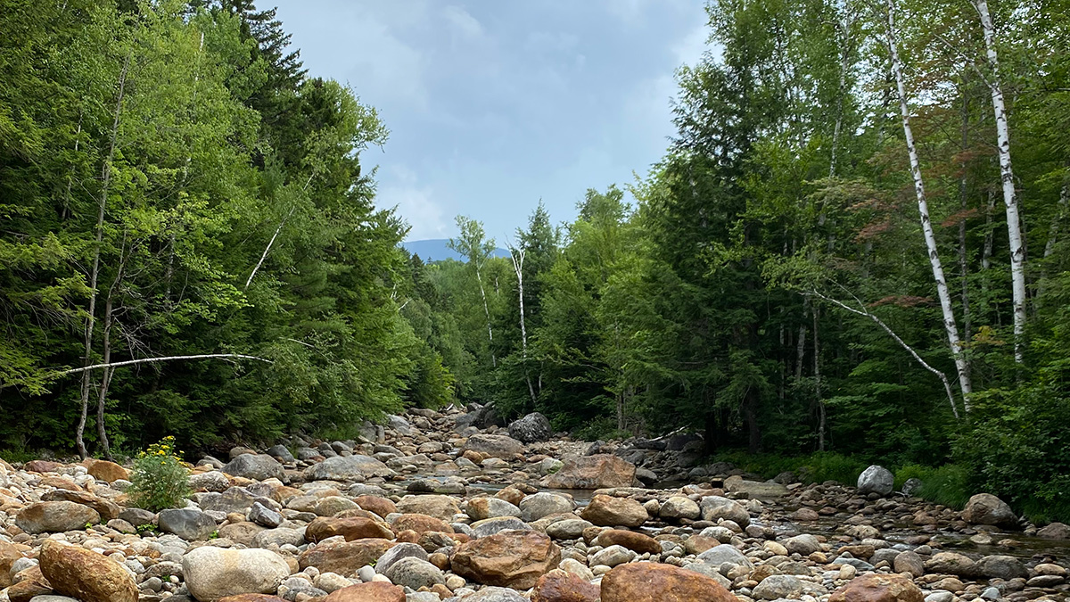
U.S. Streams Are Drying Up
A new study reports that streamflow drought is getting more intense in some parts of the United States, a phenomenon that is stressing the nation’s water policy and infrastructure.

Posted inNews
Can Decommissioned Mines Become Green Power Generators?
A new report supports the idea that underground mines can be transformed into energy storage facilities, adding the possibility of on-demand, carbon-free power to energy grids.

Posted inResearch Spotlights
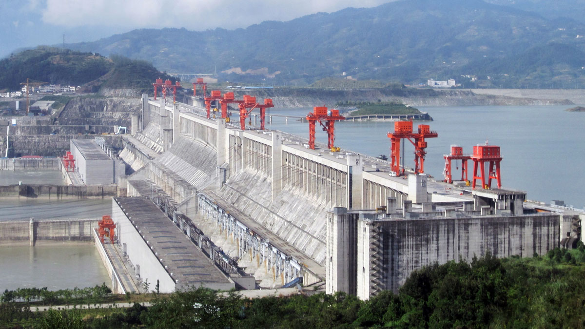
Fiber Optics Open New Frontier for Landslide Monitoring
To study a landslide along China’s Three Gorges Reservoir, researchers deployed underground fiber-optic sensors to monitor temperature, moisture, and strain.

Posted inNews
Satellites Show Magnitude of Human Influence on River Sediment Flux
Dam-building has decreased the amount of sediment transported by rivers, while land use changes have increased the amount.
Posted inNews
The Domino Effect of Freshwater Suffocation
As lakes and reservoirs become anoxic, they can promote poor water quality downstream.

Posted inResearch Spotlights
Algorithm Detects Thousands of Missing Levees from U.S. Database
An existing levee database accounts for just one fifth of the country’s actual total levee count, limiting the study of how these embankments affect riparian ecosystem health in the United States.
Posted inEditors' Highlights
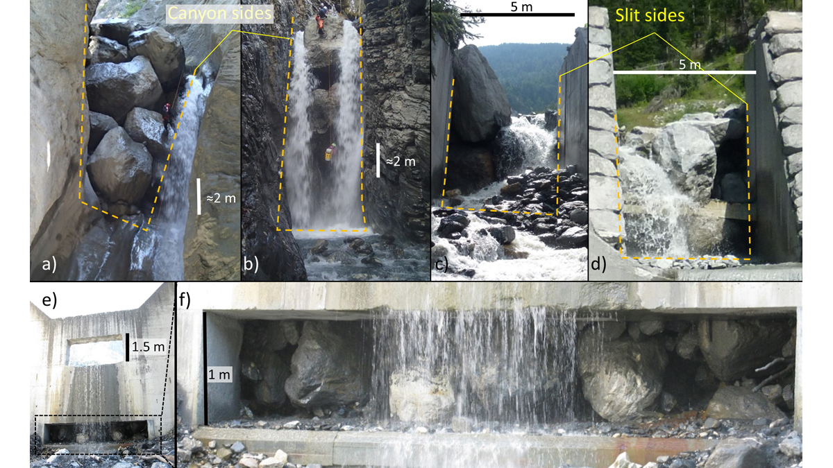
Good or Bad Jam? Modeling Boulders’ Fate at Constrictions
A new modeling framework to assess the likelihood of jamming at constrictions can be used to support the design of effective mitigation measures and reduce risk in debris flow prone areas.