
The lack of trees is contributing to increased rainfall along the coast of southwest Africa, where communities are already vulnerable to flash flooding.
deforestation

Posted inNews
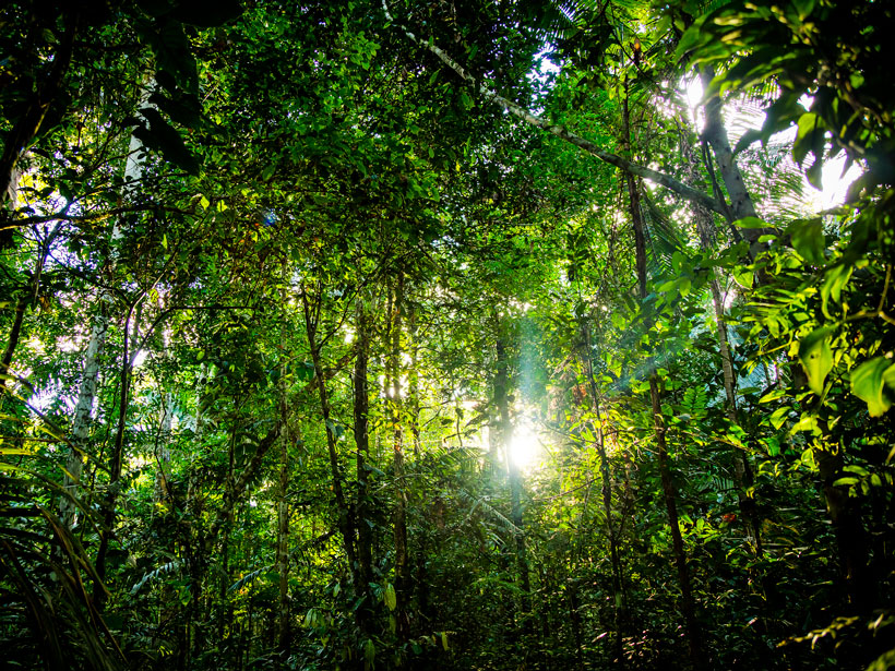
New Report Puts the Amazon Rain Forest on the Main Stage at COP26
The Science Panel for the Amazon prepares to launch its first report, the most comprehensive document on the rain forest so far.

Posted inENGAGE, Research Spotlights
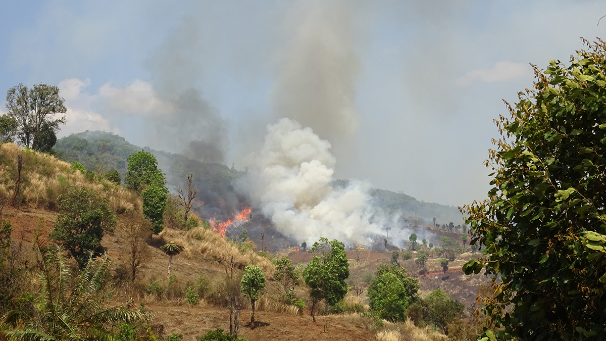
Fires Lit for Agriculture Boost Air Pollution in Southeast Asia
Reducing fires lit for agricultural management and deforestation, which unduly affect poorer populations, could help prevent 59,000 premature deaths per year.
Posted inNews
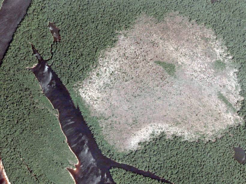
Forest Recovery in the Amazon Is a Slow Process
For the first time, a study analyzes Amazon forest loss and recovery at national and subnational levels. One finding shows that new plantings offset less than 10% of emissions associated with deforestation.

Posted inENGAGE, Research Spotlights
Amazon Deforestation and Fires are a Hazard to Public Health
Deforestation in the Amazon has dropped since the early 2000s, but it is slowly climbing again. A new study shows the impact of that climb on public health—and how much worse conditions could be.

Posted inENGAGE, News
Indigenous Peoples Harness Space Technology to Stop Deforestation
Satellite observations have long been used to detect deforestation, and a new study shows that giving Indigenous groups greater access to these data can improve response times and reduce tree cover loss.
Posted inNews
Amazon Forests Are Turning into Savannas
Floodplain forests have low resilience to repeated exposure to wildfires. As climate change increases the instances of fires, forests may transform to less productive grassland ecosystems.
Posted inNews
Urbanization, Agriculture, and Mining Threaten Brazilian Rivers
Harder to analyze and quantify, diffuse pollution is often overlooked when it comes to water quality assessments.

Posted inResearch Spotlights
Rising Seas and Agriculture Created Wetlands Along the U.S. East Coast
Most of the tidal marshes along the eastern coast of the United States formed within the past 6,000 years due to a combination of slowly rising seas and European colonization.