
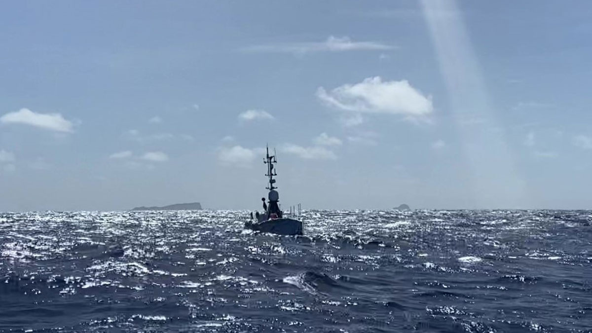
在2022年汤加火山喷发后,对其火山口的测量持续了数月。
drones & ROVs
Posted inResearch Spotlights
Exploring an Underwater Volcano from 16,000 Kilometers Away
Measurements of Hunga volcano’s crater continued for months after its 2022 eruption.

Posted inFeatures
Sensing Remote Realms of the Deep Ocean on Earth—and Beyond
A novel laser-equipped probe is collecting measurements of deep-sea geochemical environments that once seemed impossible to gather, pointing the way toward future explorations of other ocean worlds.

Posted inNews
Wissenschaft verknüpft den Wald mit dem Internet der Dinge
Ausgestattet mit rund 10,5 Mio. Euro an Forschungsgeldern werden Forschende neuartige Sensoren zum Einsatz bringen, die der Assimilation von Daten in Echtzeit und der Erstellung von Modellen dienen, die die Auswirkung von Klimaveränderungen auf Waldgebiete abbilden.

Posted inFeatures
Britney Schmidt: Following the Ice
An Earth and planetary scientist is most at home in cold places that mimic the worlds of the outer solar system.

Posted inNews
Digitally Preserving Svalbard’s Fragile Geology
A team of researchers is making the iconic rock outcrops of Svalbard available to the world through an open-source database of virtual geological models.
Posted inEditors' Highlights
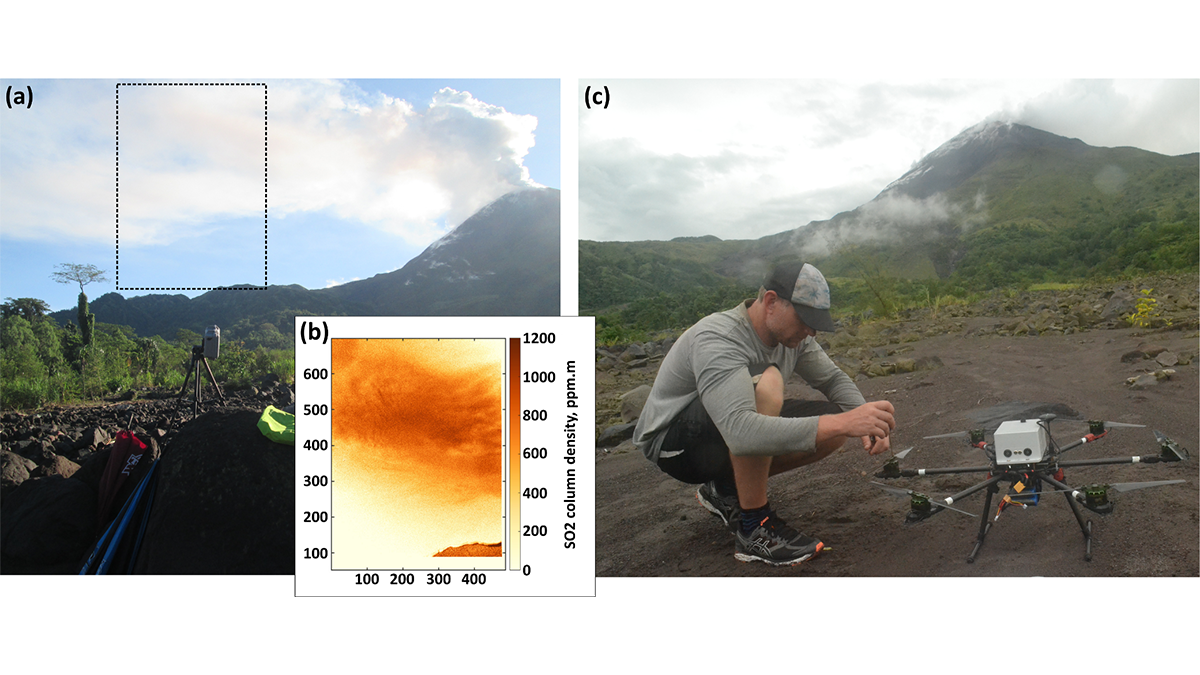
Send in the Drones: Safely Monitoring Volcanic Gas Emissions
New drone technology was combined with satellite and ground-based data to improve volcanic gas flux monitoring at the remote Bagana Volcano in Papua New Guinea.

Posted inENGAGE, News
“Icefin” Investigates a Glacial Underbelly
An instrument-laden submersible reveals where—and how rapidly—the Antarctic glacier is melting.

Posted inNews
Drones Make Weather Prediction Easier at the Poles
Researchers measured wind speed with a commercially available drone and a lightweight sensor. The approach could help scientists gather more data from remote environments.

Posted inENGAGE, News
Seafloor Reveals a Period of Rapid Retreat for Thwaites Glacier
New high-resolution seafloor imagery shows a series of delicate ridges produced by the glacier’s front as it bobbed daily with the tides, revealing a recent period of rapid retreat.New high-resolution seafloor imagery shows a series of delicate ridges produced by the glacier’s front as it bobbed daily with the tides, revealing a recent period of rapid retreat.