
Slippage began hours before a landslide-driven tsunami destroyed a village in northwestern Greenland.
earthquakes

Posted inResearch Spotlights
Seafloor Activity Sheds Light on Plate Tectonics
Scientists in Japan study stress released by oceanic earthquakes in newborn sections of seafloor.

Posted inNews
How to Trigger a Massive Earthquake
Humans may be to blame for California’s second-largest 20th century earthquake, and a team of seismologists has now proposed how that could have happened.
Posted inResearch Spotlights
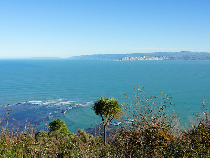
Imaging the Underlying Mechanics of New Zealand Earthquakes
Researchers create a first-of-its-kind image to map electrical properties of rocks and minerals throughout the Hikurangi subduction zone.

Posted inNews
Caribbean Sediment Traced to 1755 Portuguese Quake and Tsunami
Archaeologists digging in Martinique chanced upon the first tsunami deposit from the earthquake found in the New World. The tsunami left a strong trace, it seems, because the wave went up a river.

Posted inResearch Spotlights
Revising an Innovative Way to Study Cascadia Megaquakes
Researchers probe natural environments near subduction zones to decrypt underlying mechanisms of major earthquakes.

Posted inNews
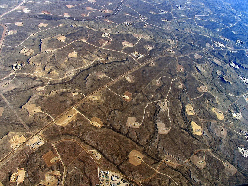
Quakes Pack More Punch in Eastern Than in Central United States
A new finding rests on the recognition that fault types differ between the two regions. It helps explain prior evidence that human-induced quakes and natural ones behave the same in the nation’s center.

Posted inScience Updates
A Closer Look at an Undersea Source of Alaskan Earthquakes
A systematic survey offers a striking portrait of movement along a 500-kilometer-long undersea section of the Queen Charlotte–Fairweather fault off the coast of southeastern Alaska.
Posted inResearch Spotlights
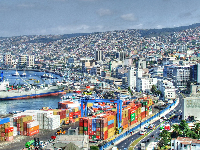
Tsunami Records Show Increased Hazards for Chile’s Central Coast
Simulations of the historical quake raise new concerns: A similar event in the future could cause a devastating tsunami in Chile’s most populated coastal region.
Posted inEditors' Vox
The Challenges Posed by Induced Seismicity
A recent paper in Reviews of Geophysics examined the increasing incidence of seismic events caused by industrial activities.