

Researchers in Spain monitored variations in seismic noise across Barcelona as the city locked down during the pandemic, clarifying the seismic band associated with human activity.
geohealth

Posted inOpinions
Our Losing Phosphate Wager
Global food systems depend on fertilizers with phosphate. We need to act now before this nonrenewable resource runs out.
Posted inOpinions
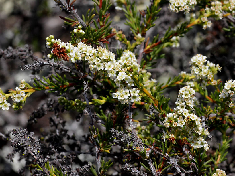
Reading the Leaves to Track Environmental Hazards and Health
The USA National Phenology Network is small but mighty, helping scientists and resource managers assess natural hazards and seasonal phenomena that affect society in numerous ways.
Posted inNews
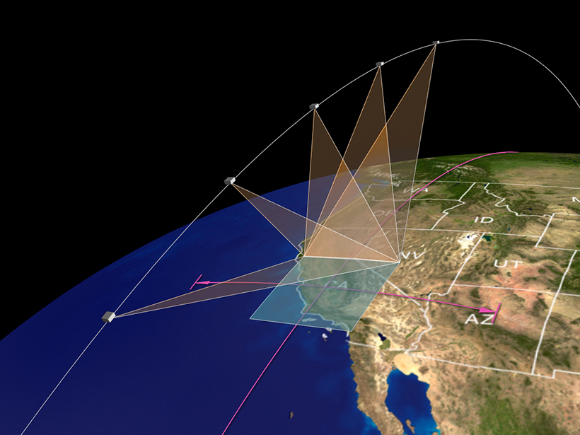
Using Satellite Data to Map Air Pollution and Improve Health
NASA scientists will be teaming up with epidemiologists in the agency’s first health-focused mission. With satellite data, they’ll find out how air pollution affects health in cities around the world.

Posted inNews
Migrant Workers Among the Most Vulnerable to Himalayan Disasters

Critics say companies are failing to develop adequate emergency procedures to protect construction workers on hydropower plants in the Himalayas.
Posted inResearch Spotlights
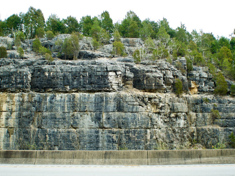
Ciertas formaciones rocosas pueden provocar riesgos de radón en los hogares

Investigadores de Kentucky han combinado resultados de kits de pruebas domésticas con el mapa geológico del estado para elaborar un mapa del potencial de radón en interiores basado en la geología subyacente a las viviendas del estado.
Posted inResearch Spotlights
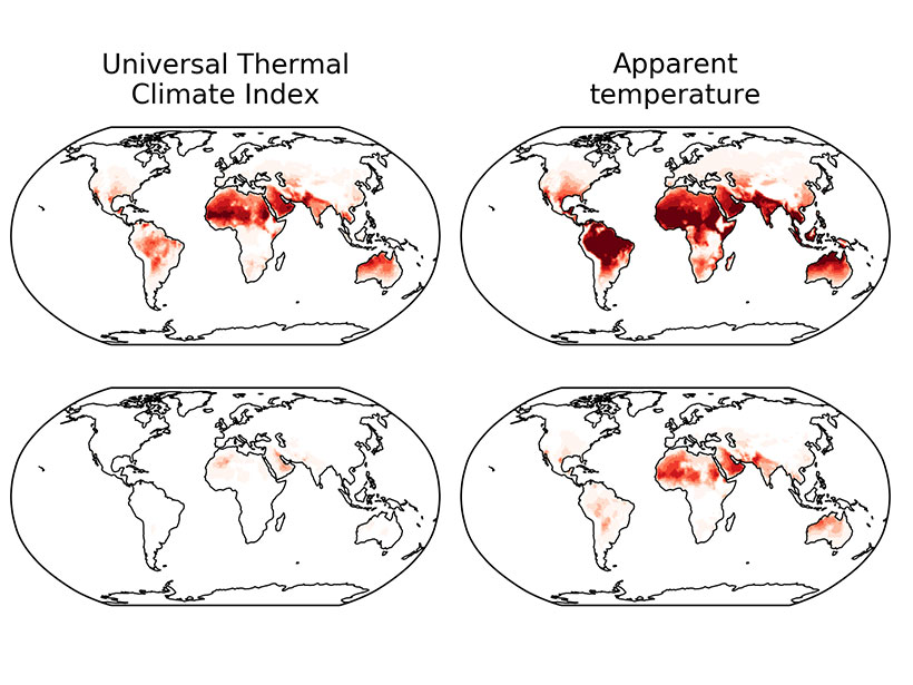
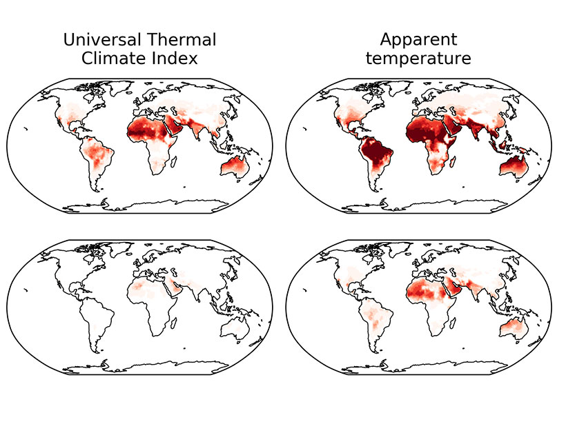
Global Warming Causes Uneven Changes in Heat Stress Indicators
Different indicators change in different ways, but climate models project a clear trend of increasing heat stress.

Posted inResearch Spotlights
Mass Bird Die-Off Linked to Wildfires and Toxic Gases

Using observations from crowdsourced science and weather location data, researchers concluded that wildfires caused a mass die-off of birds in the western and central United States in 2020.

Posted inNews
Simultaneous Drought and Heat Wave Events Are Becoming More Common

As the world heats up, the number and duration of combined stress events are increasing, causing harmful environmental and human impacts.