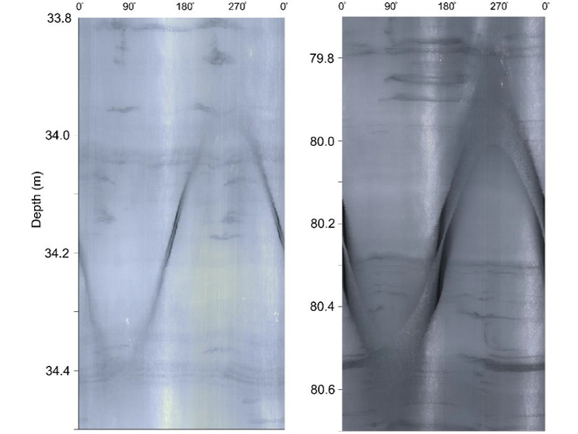
Crevasses are a feature of ice sheets but how deep they extend has been a mystery. Now crevasse traces have been visually identified to 265 meters in a borehole in a fast-moving outlet glacier.
glaciers & ice sheets
Posted inNews
An Ancient Meltwater Pulse Raised Sea Levels by 18 Meters
Meltwater pulse 1A, a period of rapid sea level rise after the last deglaciation, was powered by melting ice from North America and Scandinavia, according to new research.
Posted inNews
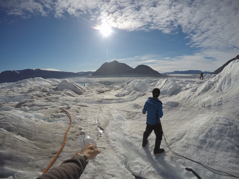
The Chaos Beneath a Glacier’s Calving Front
For the first time, researchers have captured continuous data on the abrupt changes and activities happening at a glacier’s calving front.

Posted inResearch Spotlights
A 50,000-Year History of Current Flow Yields New Climate Clues
The first high-resolution historical record of Europe’s Glacial Eastern Boundary Current sheds new light on ocean circulation, ice sheet dynamics, and climate change.
Posted inResearch Spotlights
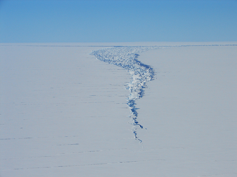
Satellite Captures Detaching Iceberg in Near-Real Time
NASA’s ICESat-2 satellite recorded the cleaving of a 315-billion-ton iceberg from Amery Ice Shelf in 2019, as well as years of subtle cracking and splitting prior to the calving event.
Posted inNews
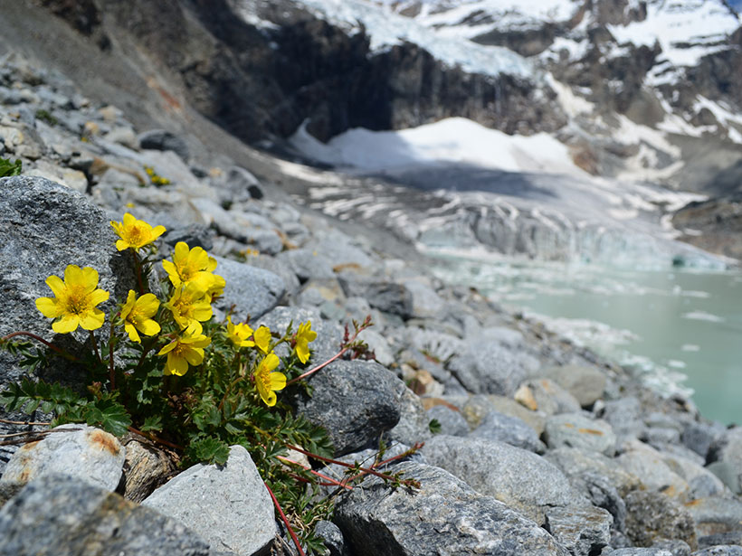
Global Warming Could Rob Liquors of Their Flavor
A new study examines the impact of glacial extinction on biodiversity in alpine regions.

Posted inNews
Development and Climate Change Contribute to a Himalayan Tragedy
Infrastructure projects like roads and dams destabilize slopes and compound the effects of glacial floods and avalanches, scientists say.

Posted inScience Updates
The Imminent Calving Retreat of Taku Glacier
Long an anomaly among glaciers, advancing while most others shrank, Taku Glacier is starting to succumb to climate change, offering an unprecedented look at the onset of tidewater glacier retreat.

Posted inNews
Overturning in the Pacific May Have Enabled a “Standstill” in Beringia
During the last glacial period, a vanished ocean current may have made the land bridge between Asia and the Americas into a place where humans could wait out the ice.

Posted inFeatures
Cape Cod: Shipwrecks, Dune Shacks, and Shifting Sands
Living in Geologic Time: How long will the cape keep its fist raised against the waves?