
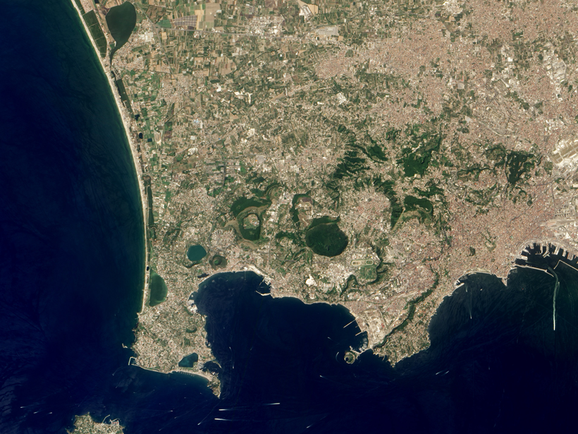
New study calculates the delta’s subsidence on the basis of satellite data.
Journal of Geophysical Research: Solid Earth

Posted inEditors' Highlights
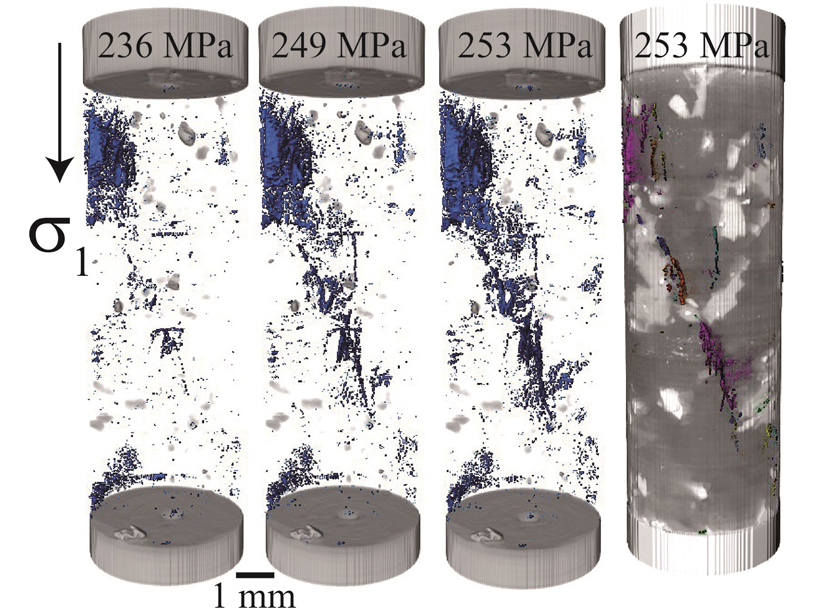
Acoustic Monitoring of Inelastic Compaction in Porous Limestone
During triaxial compression experiments, acoustic monitoring reveals compaction localization in a high porosity limestone, accompanied by a significant decrease in P-wave velocity.
Posted inResearch Spotlights
Visualizing One of the Most Hazardous Formations in Nature
A network of buoys provides a first glimpse of the seafloor beneath a volatile Italian caldera.
Posted inEditors' Highlights
What Happens Inside Rocks as They Fail?
An innovative technique provides micro-scale resolution on the three-dimensional evolution of damage within crystalline rocks that leads to fault nucleation.
Posted inResearch Spotlights
New Model Simulates Faults and Folds Shaping Each Other
A new model simulates how faulting and folding deep in Earth’s crust shape the way rocks fold and cause earthquakes.

Posted inResearch Spotlights
Widespread Mantle Upwelling Beneath Oceanic Transform Faults
A global characterization of mantle flow patterns beneath active oceanic transforms suggests pervasive upwelling stabilizes divergent plate boundaries by warming and weakening these enigmatic features.
Posted inResearch Spotlights
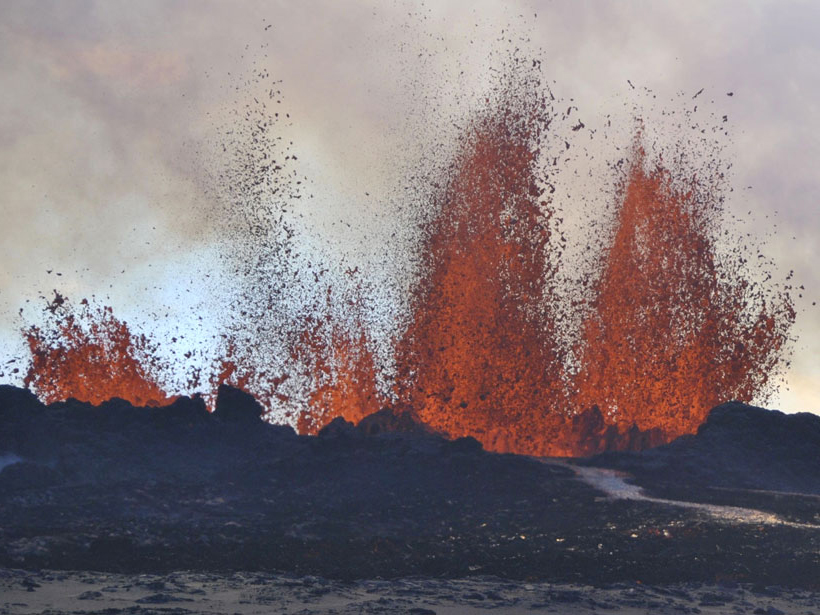
A Novel Way to Track Magma Flow
Sparse seismic data can accurately predict volcanic eruptions.
Posted inResearch Spotlights
More Earthquakes May Be the Result of Fracking Than We Thought
Scientists show small earthquakes caused by fracking near Guy-Greenbrier, Ark., in 2010 that could have been early indicators of high stress levels on larger faults deeper underground.

Posted inResearch Spotlights
Scientists Create Catalog of Altotiberina Fault in Italy
More than 37,000 small earthquakes paint a picture of the fault’s behavior and seismic potential.
Posted inEditors' Highlights
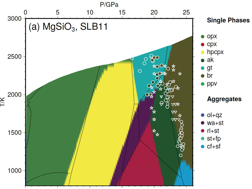
New Thermodynamic Model for Computing Mantle Mineralogy
A newly developed open-access software package called MMA-EoS can calculate whole mantle mineralogy in multicomponent systems by Gibbs energy minimization.