New data synthesis suggests that varying rates of trench retreat along the margin of the Gondwana supercontinent were responsible for the curvature of the Tasmanide mountain chains.
Journal of Geophysical Research: Solid Earth
Posted inEditors' Highlights
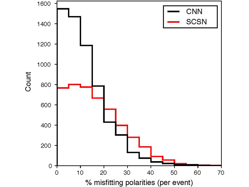
Removing the Drudgery from Earthquake Seismology
New methods of machine learning are bringing the phase arrival time and polarity picking used for automatic determination of earthquake fault planes to accuracies better than human analysists.

Posted inEditors' Highlights
Basement Structure Mapped by Phase Autocorrelations of Noise
Cross-correlations of ambient seismic noise are combined with well log data to image shallow crustal basement features in the Ebro Basin in Spain.
Posted inResearch Spotlights
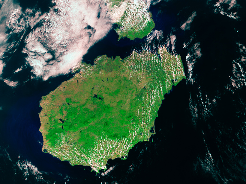
Linking Mantle Plumes to Volcanoes and Hot Spot Tracks
Study bolsters hypothesis that volcanoes on China’s Hainan Island were formed by a hot spot.
Posted inResearch Spotlights
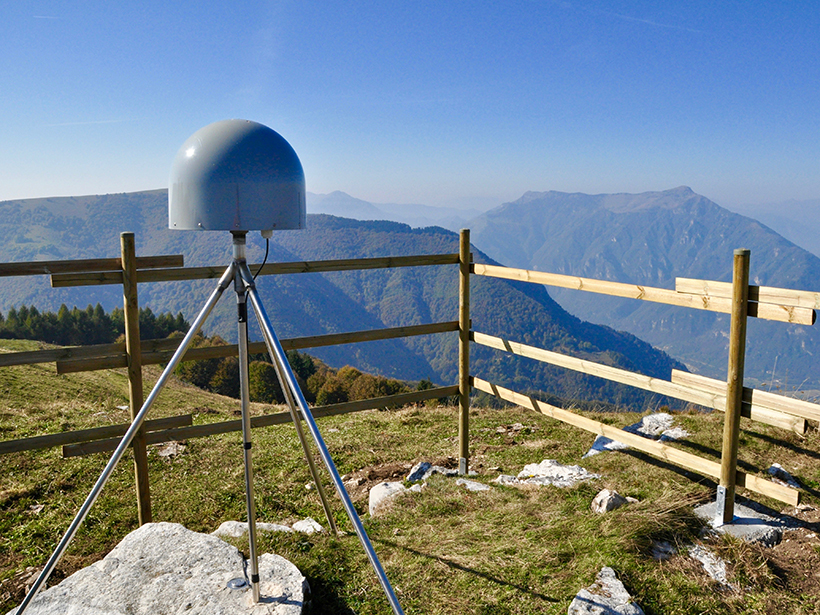
Karst Groundwater Contributes to Deformation in Eastern Alps
GPS data show compression and extension strains in the region resulting from changes in aquifer water levels.
Posted inResearch Spotlights
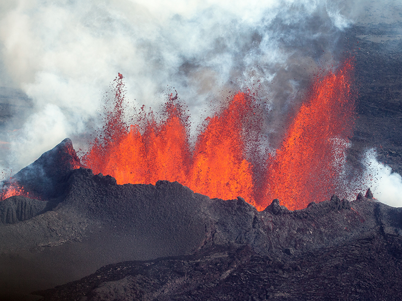
Magma Flow in a Major Icelandic Eruption
Mechanical modeling suggests that previous, undetected eruptions released tectonic stress near the ice-covered Bárðarbunga volcano.
Posted inResearch Spotlights
Challenging the Day Diagram, a Rock Magnetism Paradigm
A critique of the plot routinely used to determine bulk magnetic properties concludes the technique is so ambiguous that new approaches to understanding magnetic mineral assemblages must be developed.

Posted inResearch Spotlights
What Shaped the Northern Apennine Deformation Front?
An integrated interpretation of well and seismic reflection data from Italy’s Po Valley shows the range’s undulations are controlled by the slope and composition of two major gliding horizons.
Posted inResearch Spotlights
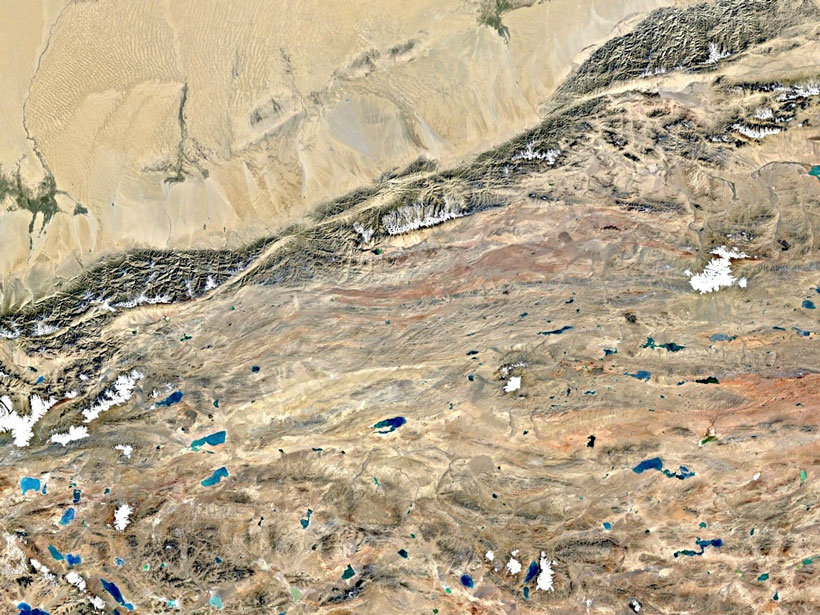
New Insights into Continental Deformation in Northwestern Tibet
A new surface velocity map shows strain localized along major strike-slip features, suggesting the central Tibetan Plateau is not deforming as a fluid in response to gravitational collapse.

Posted inResearch Spotlights
Harnessing Remote Infrasound to Study Volcanic Eruptions
Data from the 2015 eruption of Chile’s Calbuco volcano suggest the international network built to monitor nuclear explosions may also be used to detect and characterize volcanic activity.