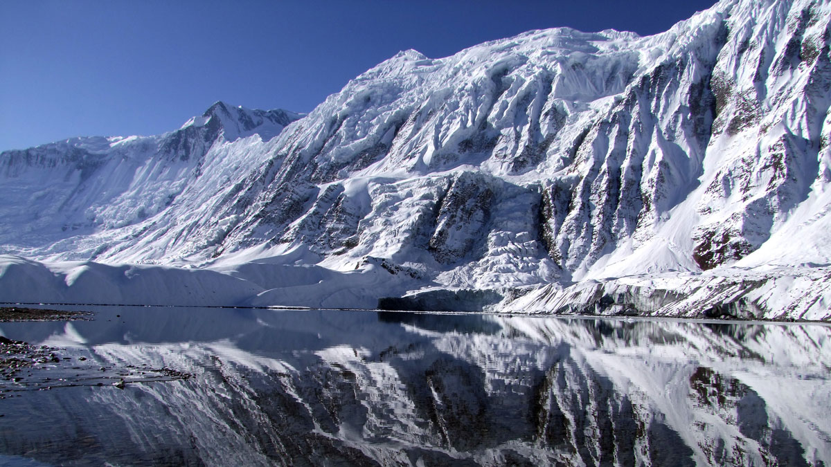
Plastic pollution may ripple downstream, threatening the human and wildlife communities that depend on glacier-fed waters.
lakes
Posted inNews
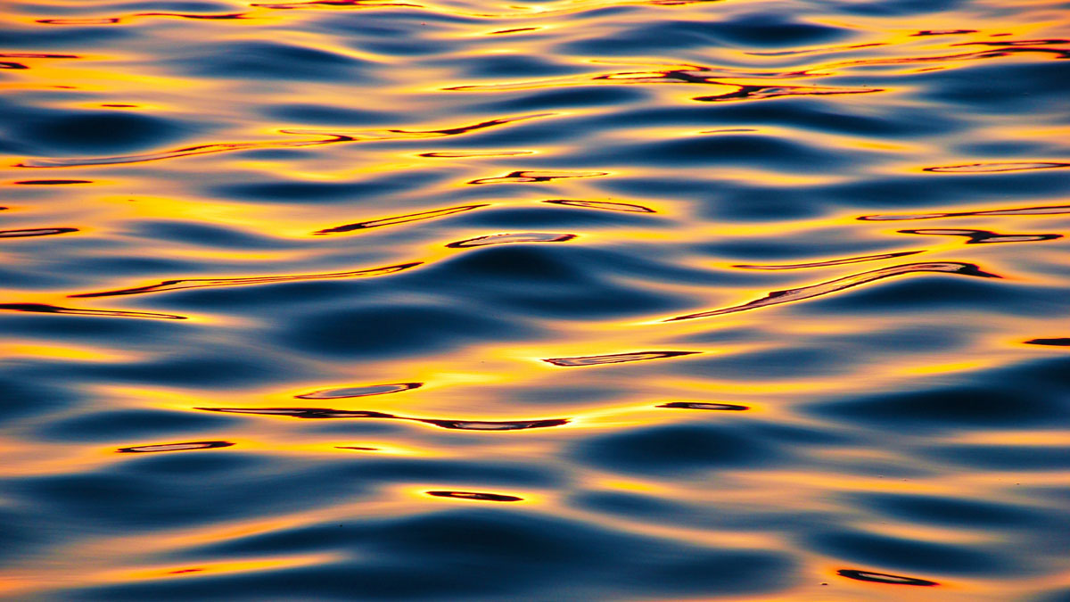
What Winds Whip Up Otherworldly Waves?
New research goes back to the basics to explain how atmospheric conditions affect the creation of wind-driven waves on other worlds.
Posted inScience Updates
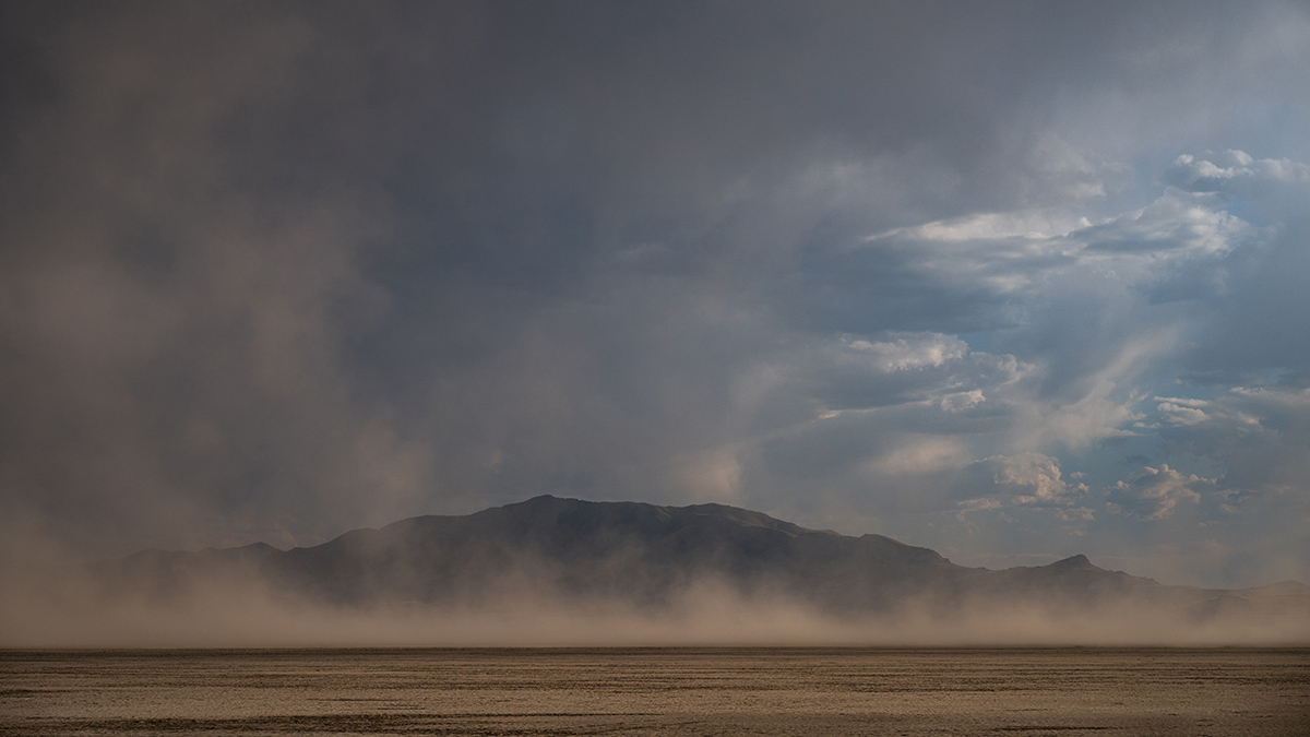
Lessons from Linking Great Salt Lake Desiccation and Depression
By melding different expertise and merging disparate datasets, researchers revealed how lake bed dust may be affecting mental health outcomes across Utah.
Posted inResearch Spotlights
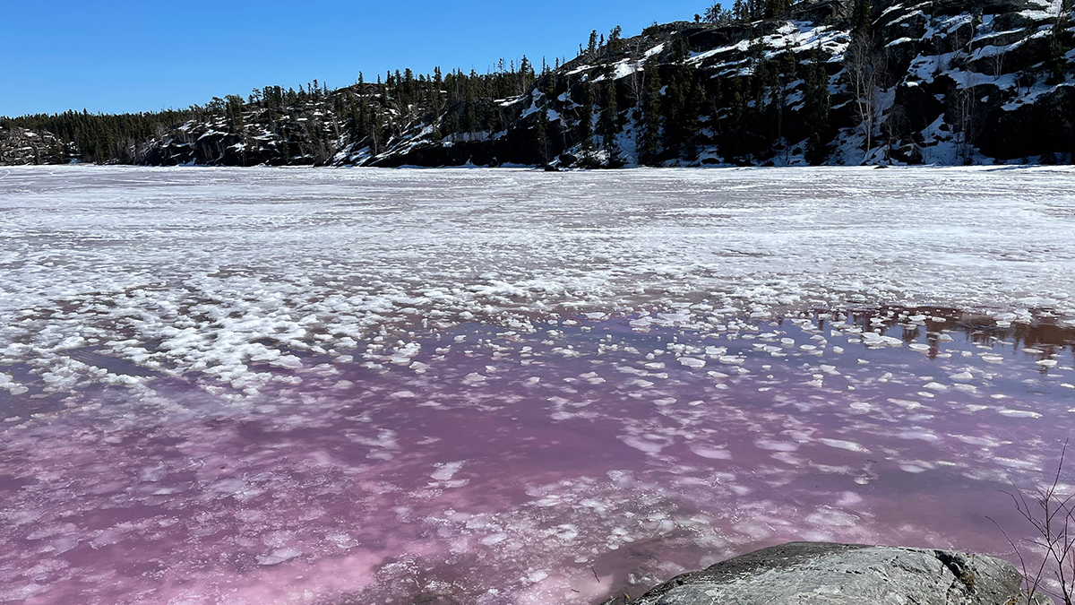
How the Spring Thaw Influences Arsenic Levels in Lakes
Four lakes near Yellowknife, Canada, show that there’s no one-size-fits-all answer.
Posted inNews
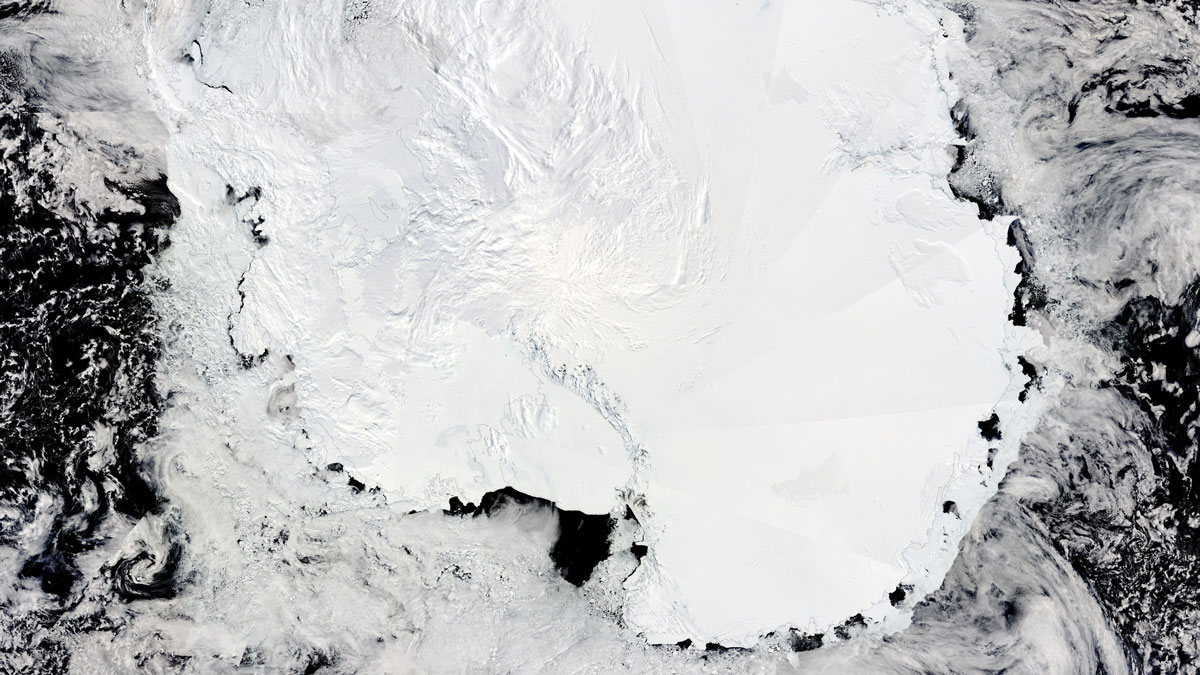
Satellite Data Reveal Changing Lakes Under Antarctic Ice
Radar altimetry observations have pinpointed 85 active subglacial lakes, shedding light on how water moves beneath the Antarctic Ice Sheet.
Posted inNews
The Role of a Ditch in the Matrix
These constructed waterways are often a “no-man’s-land” between terrestrial scientists and limnologists. But ditches’ role in transport, agriculture, biodiversity, greenhouse gas emissions, and even archaeology means it’s time to take a closer look.
Posted inNews
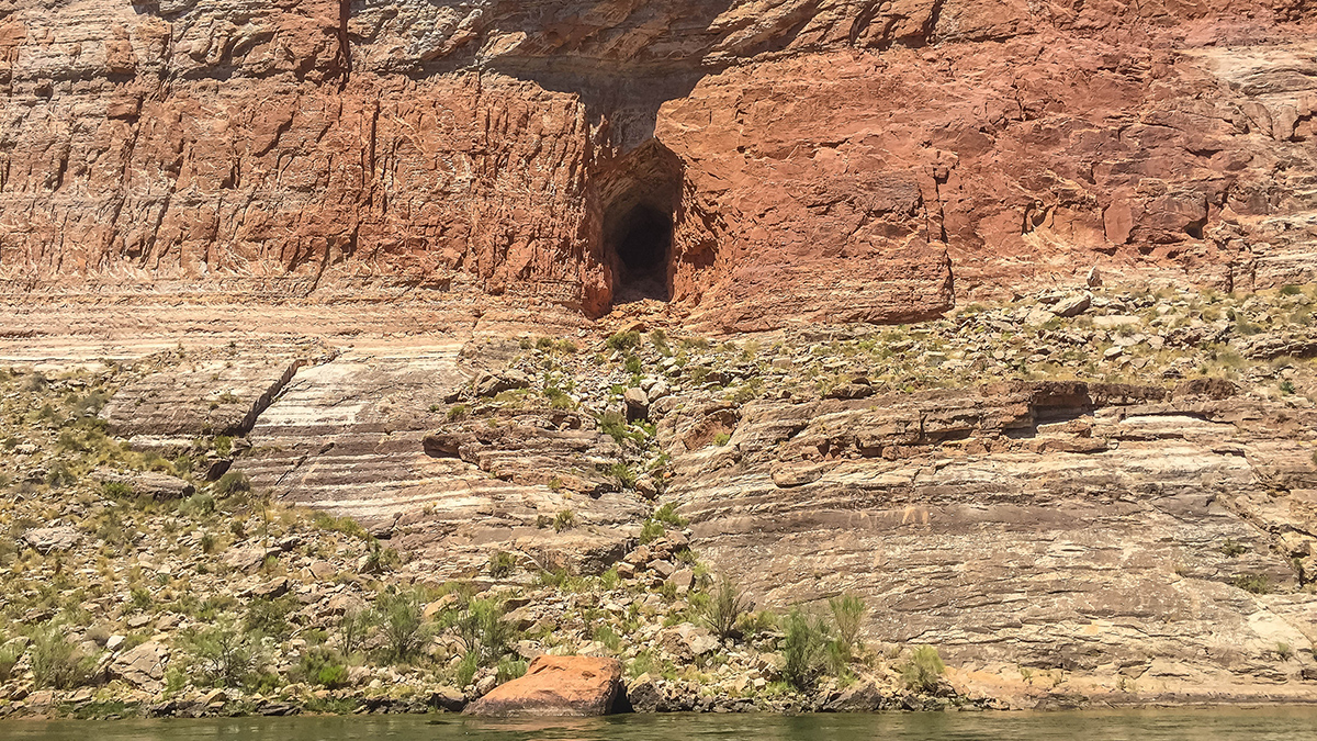
An Asteroid Impact May Have Led to Flooding near the Grand Canyon
There’s remarkable synchronicity between the timing of a paleolake in what is today Grand Canyon National Park and the formation of nearby Barringer Meteorite Crater.
Posted inENGAGE, News
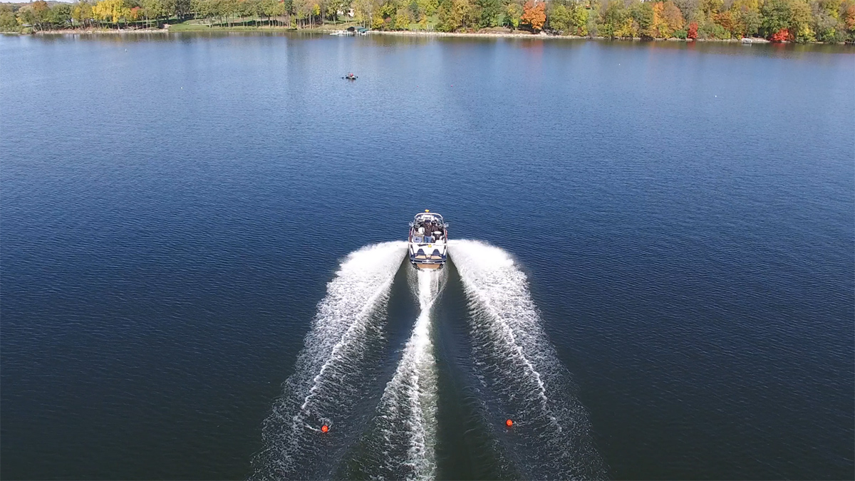
A Debate over Wakes in the Land of 10,000 Lakes
Wakeboats are turning Minnesota’s lakes into summertime surf spots, but the artificial chop can shake up the lake bed, too. New wake data can help communities plan for responsible recreation.
Posted inNews
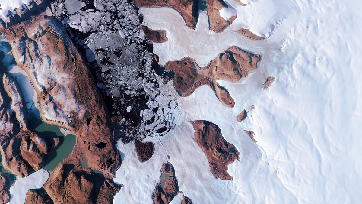
A Burst of Subglacial Water Cracked the Greenland Ice Sheet
When a lake beneath the Greenland Ice Sheet drained, its water burst through the ice sheet’s surface. This surprising event may have affected the movement of a nearby glacier.
Posted inResearch & Developments
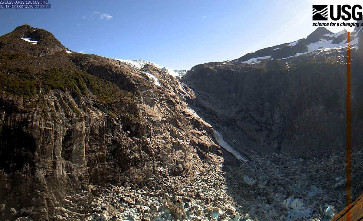
Glacial Lake Outburst Causes Record River Crest in Juneau
The Mendenhall River in Juneau, Alaska, reached a record-breaking crest Wednesday morning thanks to a glacial outburst flood (GLOF) from Suicide Basin. At 16.65 feet, the crest exceeded the previous record flood stage of 15.99 feet in 2024.