Ice Sheet System Model Workshop; Bergen, Norway, 2–4 June 2014
meetings & workshops
Posted inScience Updates
Strengthening an Interagency Network for Geoscience Data Sets
GeoData 2014: Strengthening the Connections, Building the Interagency Network; Boulder, Colorado, 17–19 June 2014
Posted inScience Updates
Developing Resources for Teaching Ethics in Geoscience
Teaching Geoethics Across the Geoscience Curriculum;
Chico Hot Springs, Montana, 10–13 June 2014
Posted inScience Updates
Crossing the Boundaries of Physical Limnology
17th International Workshop on Physical Processes in Natural Waters;
Trento, Italy, 1–4 July 2014

Posted inNews
Experts Examine Role Scientists Play in Oil Transportation Issues
Scientists and government officials discuss how science can inform decisions related to transporting crude oil.
Posted inNews
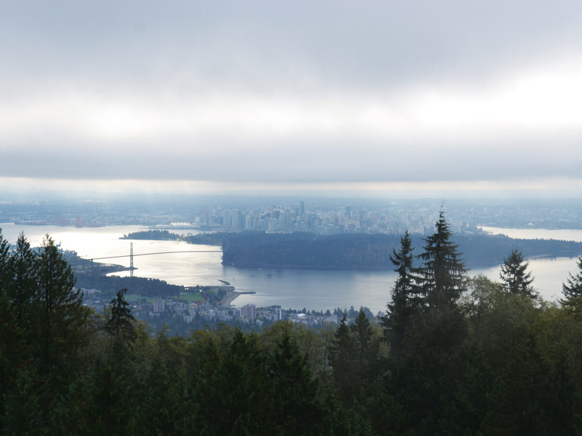
Assessing Earthquake Risks in the Pacific Northwest
While megaquakes occasionally occur along the Cascadia margin, smaller but more frequent crustal earthquakes are a more immediate threat, according to a natural hazards expert.
Posted inScience Updates
Land Surface Model Development Needs for Weather Prediction
Eighth Weather Research and Forecasting Working Group 14: Land Surface Modeling Workshop;
Boulder, Colorado, 26–27 June 2014
Posted inScience Updates
Braiding Rivers: State of the Art and Future Challenges
Braided Rivers Workshop 2014;
Le Domaine de Sainte Croix, France, 23–27 June 2014
Posted inScience Updates
The Role of Geodesy in Earthquake and Volcanic Studies
Geodesy for Earthquake and Natural Hazards (GENAH) 2014 International Symposium;
Matsushima, Japan, 22–26 July 2014
Posted inScience Updates
Future Research Directions for Soil Carbon Modeling
Representing Soil Carbon Dynamics in Global Land Models to Improve Future IPCC Assessments; Breckenridge, Colorado, 12–14 June 2014