
Braided Rivers Workshop 2014;
Le Domaine de Sainte Croix, France, 23–27 June 2014
Posted inScience Updates
Braided Rivers Workshop 2014;
Le Domaine de Sainte Croix, France, 23–27 June 2014
Geodesy for Earthquake and Natural Hazards (GENAH) 2014 International Symposium;
Matsushima, Japan, 22–26 July 2014
Representing Soil Carbon Dynamics in Global Land Models to Improve Future IPCC Assessments; Breckenridge, Colorado, 12–14 June 2014
Dam Removal: Synthesis of Ecological and Physical Responses;
Fort Collins, Colorado, 16–20 June 2014
The Next Generation of LiDAR Analysis for Critical Zone Research;
Boulder, Colorado, 12–14 May 2014
How Can Remote Sensing Address Information Needs and Gaps in Water Quality and Quantity Management?; Cincinnati, Ohio, 28 April–2 May 2014
The Eighth International Conference on Mars;
Pasadena, California, 14–18 July 2014
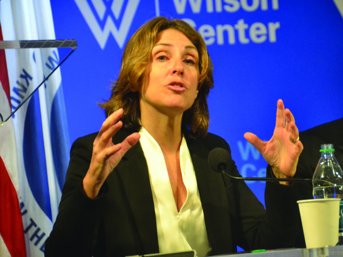
Efforts by China to bolster its energy resources include internal development efforts but also raises regional security concerns.
Currently, five spacecraft are investigating Mars, and a swarm of new missions will follow. Clues to where they should focus investigations can be gleaned from the planet’s new geologic map.
Remote Atmospheric Magnetics Workshop;
Washington, D. C., 25–26 April 2014
