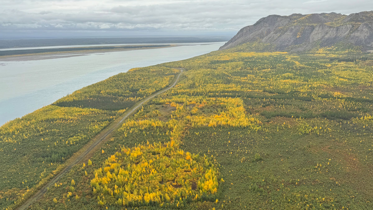
Source: AGU Advances
Permafrost in many of Earth’s northern regions is thawing, a process that unlocks greenhouse gases, threatens infrastructure, and could alter landscapes and ecosystems. The Arctic and sub-Arctic are vast, and gaining a comprehensive picture of permafrost distribution is difficult, as it requires seeing under the ground. Now, with a new method that can map permafrost from the air, researchers may get a much more spatially cohesive view of permafrost thickness and distribution.
Moshtaghian et al. report on the results of a frequency domain airborne electromagnetic (AEM) survey conducted in northern Canada’s Mackenzie Valley. The researchers gathered new information on where permafrost is located and how features such as bodies of water, soil makeup, and wildfire history affect it. The study, which includes data from a colocated electrical resistivity tomography profile and borehole data, helps to validate AEM surveys as a useful method for studying permafrost.
One unexpected finding from the research is that taliks, or zones of thawed permafrost, are often found beneath bodies of water and connect to other taliks, allowing water to flow between them. One large talik found under the Mackenzie River was 2 kilometers wide and extended to more than 75 meters deep in some areas.
Wildfires, too, leave a prominent signature on permafrost. The researchers found that in areas burned even decades ago, the loss of insulating vegetation led to warmer permafrost near the surface and more liquid water.
The study also contains methodological insights that may be useful to future studies. For example, the authors note that they did not use fixed resistivity thresholds to delineate the permafrost base, as the electrical resistivity that denotes a transition from ice to liquid water varies depending on soil type. Instead, they apply a gradient-based method to estimate permafrost depth.
The study’s findings could be useful for future studies of how permafrost distribution is changing, as well as for infrastructure planning in and near the Arctic. Thawing permafrost can disrupt roads and structures, so understanding where it is more likely to thaw is important for planning future projects and repairs. (AGU Advances, https://doi.org/10.1029/2026AV002398, 2026)
—Nathaniel Scharping (@nathanielscharp), Science Writer