The fires come in the wake of historically low amounts of snow in the American West, as well as organizational changes at the U.S. Forest Service.
wildfires
Posted inResearch Spotlights
As Wildfires Increase in the West, So Does Suppression Spending
A new study projects the intertwined relationship between fires and the money spent fighting them.
Posted inNews
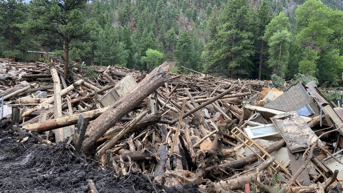
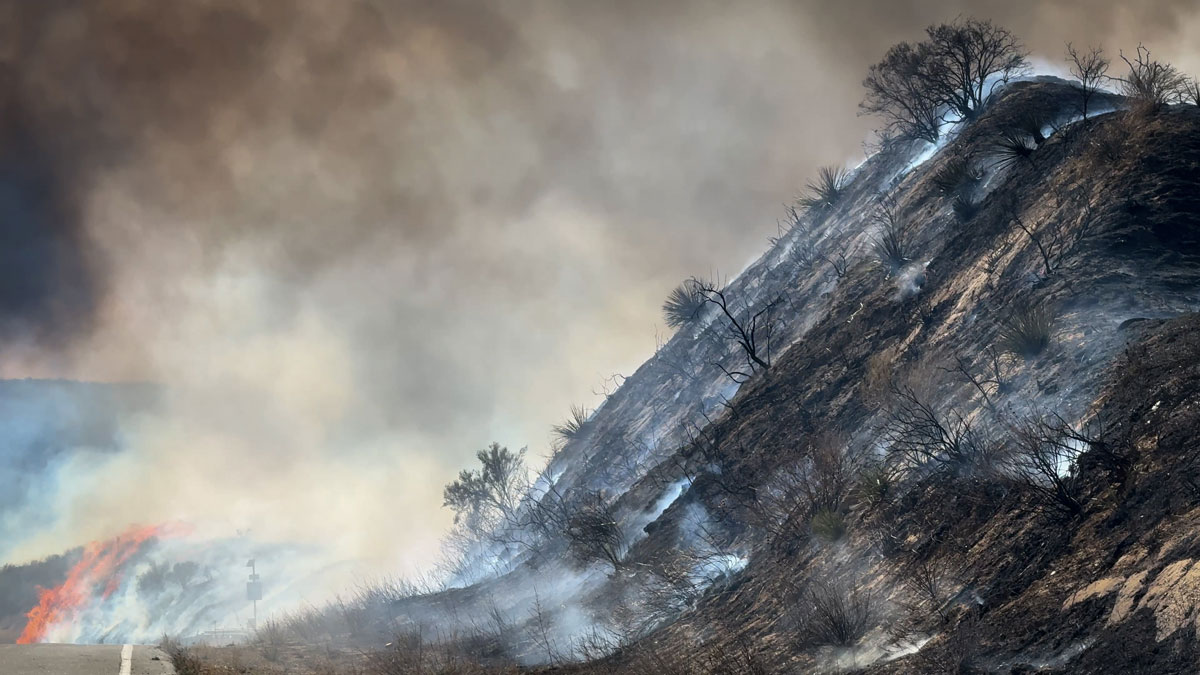
A New Approach Can Better Predict Debris Flow Hazards Years After Fires
USGS hazard maps don’t always reflect real landslide risk in the years after wildfires. Fine-tuning assessments of vegetation recovery could help.
Posted inResearch Spotlights
How Much Will Western Wildfires Worsen Under Warming?
A new study reevaluates the use of vapor pressure deficit, or VPD, in climate models to predict increases in area burned by wildfire across the U.S. West.
Posted inNews
Low Snow in Eurasia Linked to Wildfires in California
Scientists found that low autumn snow levels in western Eurasia are associated with dry, warm winters in California, increasing the Golden State’s wildfire risk.
Posted inNews
Tree Lines Are Migrating. Some Up, Some Down.
Between 2000 and 2020, 42% of tree lines around the world crept upward, largely because of climate change. But 25% moved downhill, seemingly because of factors such as land use changes and wildfires.
Posted inResearch & Developments
2026 Has Already Broken Climate Records. El Niño Could Break More.
As the midpoint of the year approaches, several climate records have already been broken. Arctic winter sea ice extent reached a record low. Several countries saw record-breaking winter heat waves. And more than 150 million acres have already burned globally in wildfires.
Posted inNews
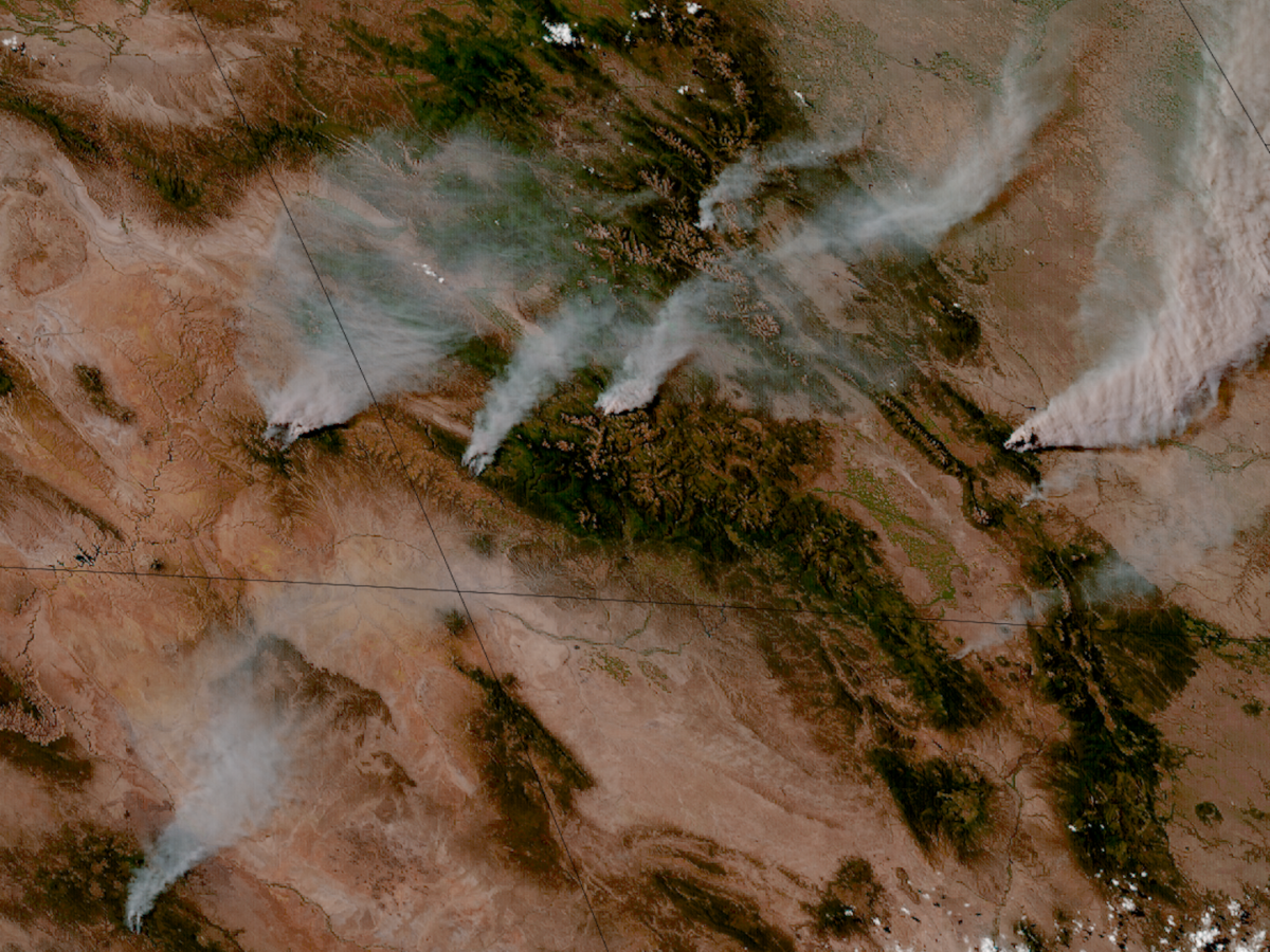
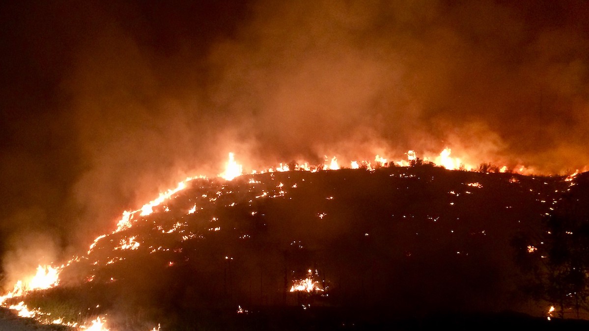
Most of the U.S. West Will Face Above-Normal Wildfire Risk This Summer
The National Interagency Fire Center predicts elevated wildfire potential across much of the West and many Southeast states through August.
Posted inScience Updates
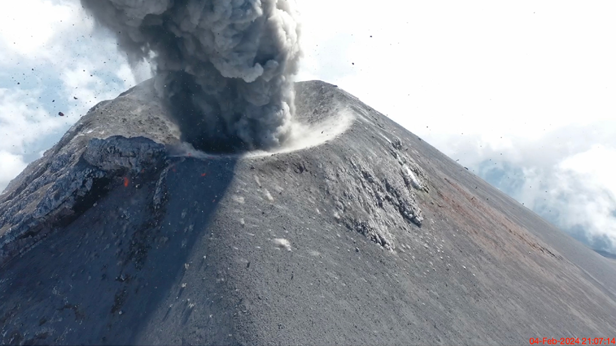
Sensing the Sounds from Earth’s Hazardous Environments
Low-cost infrasound sensors, deployed in large numbers, provide a practical means of data collection near volcanoes, earthquakes, wildfires, and other geophysical phenomena.
Posted inResearch Spotlights
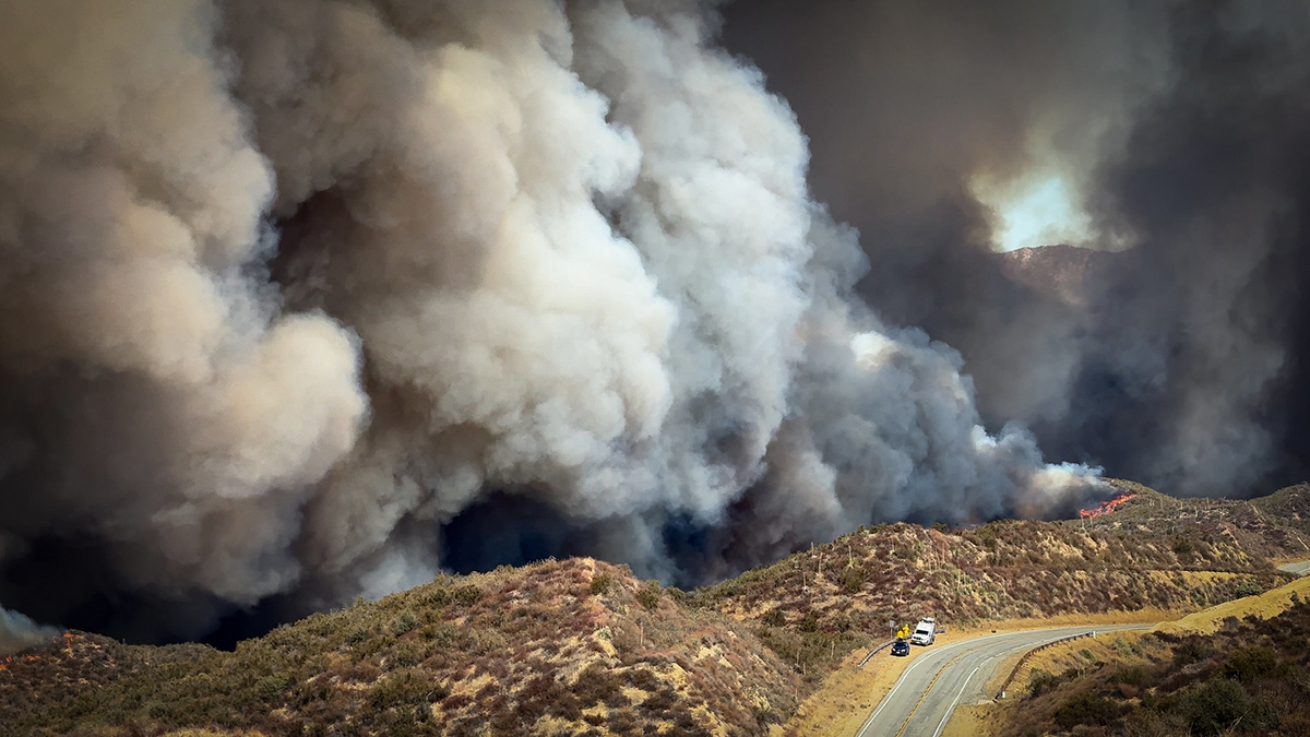
Want to Predict Wildfire Severity? Look to the State of Vegetation
A new study connects satellite data on vegetation condition, topography, and weather conditions to examine the predicted versus actual burn severity of the 2025 Los Angeles wildfires.