• About
  • Special Reports
  • Topics
    • Climate
    • Earth Science
    • Oceans
    • Space & Planets
    • Health & Ecosystems
    • Culture & Policy
    • Education & Careers
    • Opinions
  • Projects
    • Postcards From the Field
    • ENGAGE
    • Editors’ Highlights
    • Editors’ Vox
    • Eos en Español
    • Eos 简体中文版
    • Print Archive: 2015–2025
  • Policy Tracker
  • Blogs
    • Research & Developments
    • The Landslide Blog
  • Newsletter
  • Submit to Eos
  • AGU.org
  • Career Center
  • Join AGU
  • Give to AGU
  • About
  • Special Reports
  • Topics
    • Climate
    • Earth Science
    • Oceans
    • Space & Planets
    • Health & Ecosystems
    • Culture & Policy
    • Education & Careers
    • Opinions
  • Projects
    • Postcards From the Field
    • ENGAGE
    • Editors’ Highlights
    • Editors’ Vox
    • Eos en Español
    • Eos 简体中文版
    • Print Archive: 2015–2025
  • Policy Tracker
  • Blogs
    • Research & Developments
    • The Landslide Blog
  • Newsletter
  • Submit to Eos
Skip to content
  • AGU.org
  • Career Center
  • Join AGU
  • Give to AGU
Eos

Eos

Science News by AGU

Support Eos
Sign Up for Newsletter
  • About
  • Special Reports
  • Topics
    • Climate
    • Earth Science
    • Oceans
    • Space & Planets
    • Health & Ecosystems
    • Culture & Policy
    • Education & Careers
    • Opinions
  • Projects
    • Postcards From the Field
    • ENGAGE
    • Editors’ Highlights
    • Editors’ Vox
    • Eos en Español
    • Eos 简体中文版
    • Print Archive: 2015–2025
  • Policy Tracker
  • Blogs
    • Research & Developments
    • The Landslide Blog
  • Newsletter
  • Submit to Eos

permafrost

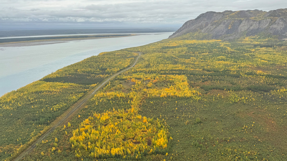
An overhead view of an area dotted with green and yellow foliage. A road runs through it into the distance alongside a river on the left.
Posted inResearch Spotlights

Airborne Imaging Explores a Mosaic of Thawing Permafrost

by Nathaniel Scharping 10 November 202610 November 2026

One unexpected finding is that large, interconnected areas of thaw underlie many water bodies.

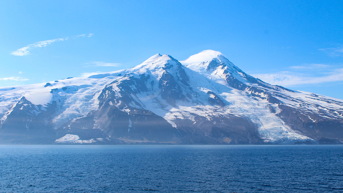
Image of a volcanic island taken from the water. The volcano’s coastal slope has two glaciers. The glacier at right reaches the water’s edge, whereas the glacier at left is covered by rocks near the coast.
Posted inNews

A Rock Avalanche Buried an Arctic Glacier. Was Climate Change to Blame?

Kimberly M. S. Cartier, News Writing and Production Intern for Eos.org by Kimberly M. S. Cartier 21 October 202621 October 2026

Degrading permafrost and earlier small quakes likely weakened a rock slope until it collapsed and buried an Arctic glacier in tons of rock.
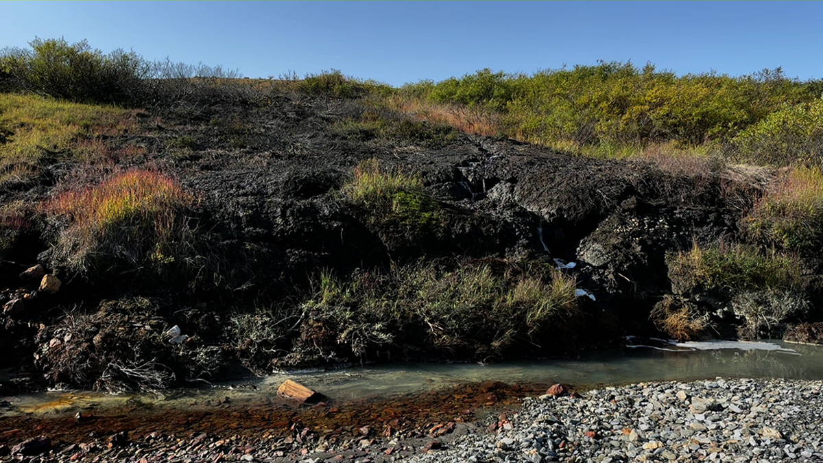
A stream.
Posted inEditors' Highlights

Melting Permafrost Impacts Arctic Rivers in Vulnerable Regions

by Susan Trumbore 15 October 202615 October 2026

Changes in river chemistry in the northwestern North American Arctic reflect increased acid rock drainage associated with permafrost thaw, an unexpected consequence of Arctic warming.
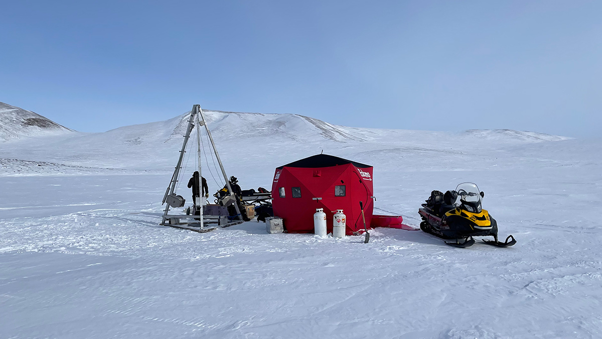
On a snowy, Arctic-looking landscape are a red structure big enough for a few people, a snowmobile, and a large metal tripod structure about twice the height of a human.
Posted inResearch Spotlights

Patchier Permafrost Is Linked to More Intense Hillslope Erosion

by Rebecca Dzombak 14 October 202614 October 2026

Arctic landscapes with spots of disconnected permafrost erode faster than those with continuous permafrost, a new study finds.
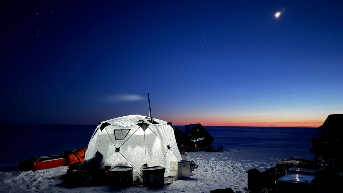
Equipment, including a snowmobile and various crates, surrounds a brightly lit, dome-shaped white tent at night.
Posted inScience Updates

A Snow Machine Traverse Connects Arctic Coastal Communities

by Benjamin Jones, Phillip Wilson, Jan Olson, Bill Tracey Sr. and Chris Maio 7 October 20267 October 2026

A scientific expedition connected community perspectives, landscape conditions, and coastal hazards across nearly 3,200 kilometers of Alaska coastline.
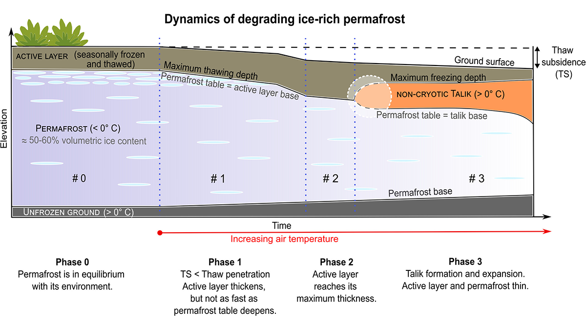
Schematic diagram.
Posted inEditors' Highlights

New Insights into Permafrost Degradation and Subsidence

by Louise Farquharson 5 October 20265 October 2026

A 20-year monitoring study in the discontinuous permafrost zone of Nunavik, Canada documents changing ground thermal dynamics and associated thaw subsidence.
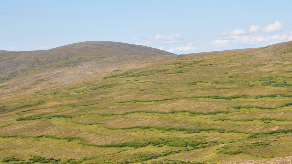
山坡上交替出现着绿色的波浪。
Posted inResearch Spotlights

冻土图案的形成源于重力和奇特的物理现象

by Rebecca Dzombak 19 August 202626 August 2026

冻土的一个神秘特征,可以用非牛顿流体物理学来部分解释。这就是“奥布雷克”(Oobleck)。

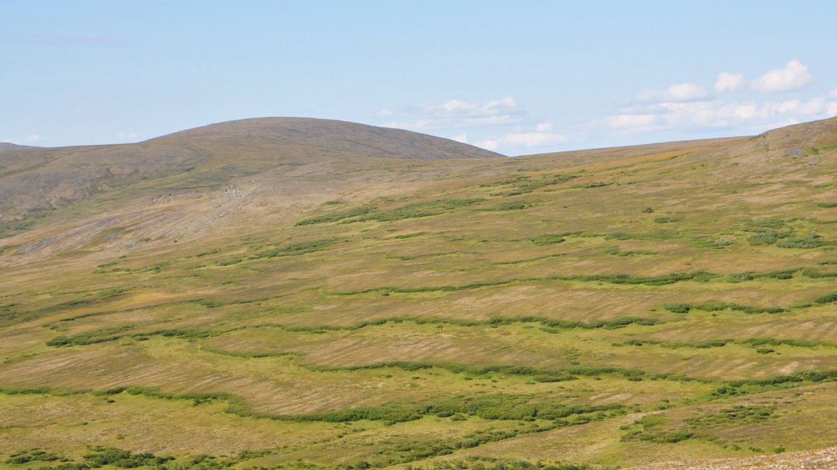
Alternating waves of greenery appear on a hillside.
Posted inResearch Spotlights

Patterned Frozen Soils Get Their Shape from Gravity and Funky Physics

by Rebecca Dzombak 9 July 202619 August 2026

An enigmatic feature of frozen soils can be explained in part by non-Newtonian fluid physics. Enter the Oobleck.
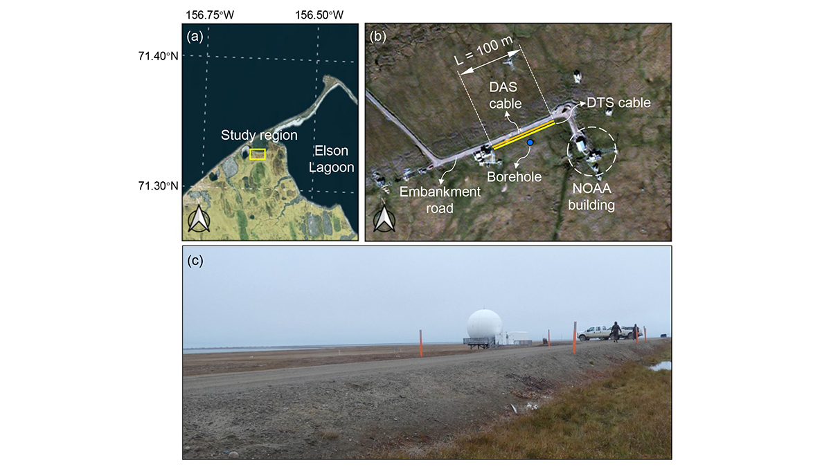
Maps and photo of the study region.
Posted inEditors' Highlights

A Digital Twin for Arctic Permafrost Beneath Roads

by Xiang Huang 8 May 202612 May 2026

A physics-informed digital twin uses high-resolution temperature data to track, update, and predict permafrost conditions beneath an Alaskan embankment road.
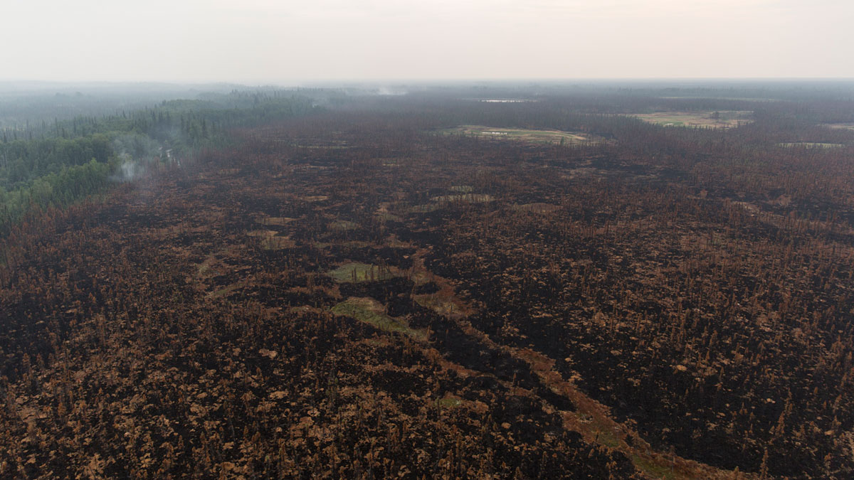
A huge, still-smoldering burn scar dominates an aerial image of a forest, with green forest still visible at right.
Posted inNews

Alaska’s Wildfires Heat the Planet, but Canada’s Cool It

by Saugat Bolakhe 9 April 20261 May 2026

Using 2 decades of satellite data, researchers learned that wildfires in North America don’t follow the same script: In western Canada, snow reflectivity drives a cooling effect, whereas in Alaska, permafrost burning leads to net warming.

Posts pagination

1 2 3 … 11 Older posts
Over a dark blue-green square appear the words Special Report: The State of the Science 1 Year On.

Features from AGU Publications

Research Spotlights

Rapid-Scan Satellite Data Offer Clues to Typhoon Intensity

17 November 202617 November 2026
Editors' Highlights

Rethinking Where Rivers Begin

18 November 202616 November 2026
Editors' Vox

Bringing Python Solutions to Earth Science Challenges

19 November 202619 November 2026
Eos logo at left; AGU logo at right

About Eos
ENGAGE
Awards
Contact

Advertise
Submit
Career Center
Sitemap

© 2026 American Geophysical Union. All rights reserved Powered by Newspack