Coupling an AI-driven model of the atmosphere with a model of the ocean could help scientists create highly efficient emulations of the entire Earth system.
Modeling
Posted inFeatures
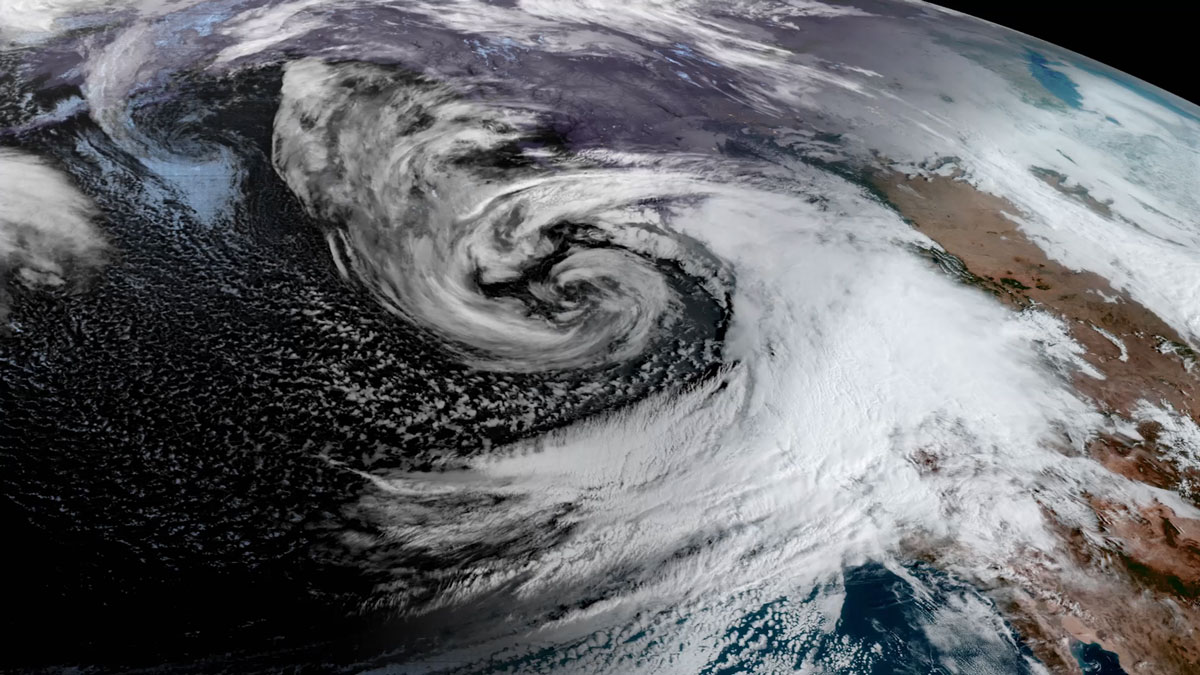
The AI Revolution in Weather Forecasting Is Here
The past decade has seen explosive growth in forecasting research and applications using AI. Sophisticated new approaches show vast potential to support public safety, health, and economic prosperity.
Posted inResearch Spotlights
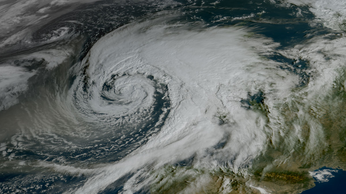
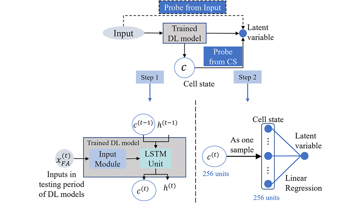
Unveiling What’s Under the Hood in AI Weather Models
Artificial intelligence models have improved weather forecasting, but their inner workings are largely opaque. A new approach could make their predictions more interpretable by scientists.


Posted inResearch & Developments
Climate Change Could Slash Global GDP 24% By 2100
Unchecked greenhouse gas emissions could cause the world’s income to fall by nearly a quarter within the century, projects a new study published in PLOS Climate.
Posted inNews
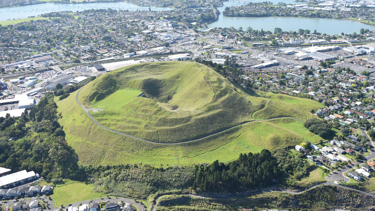
“Passion Project” Reveals Auckland’s Hidden Urban Faults
An innovative analysis has identified 10 likely and 25 possible faults in the region.
Posted inNews
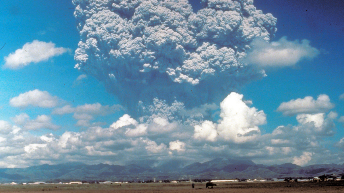
Volcanic Eruptions in One Hemisphere Linked to Floods in the Opposite One
Asymmetric volcanic plumes may shift equatorial weather patterns and increase tropical stream flow, according to new simulations.

Posted inResearch Spotlights
Droughts Sync Up as the Climate Changes
A new study reconstructs roughly 800 years of streamflow history in India’s major rivers, showing an increase in synchronous drought linked to anthropogenic climate change.
Posted inEditors' Highlights
Deep Learning Goes Multi-Tasking
In hydrological modeling, predicting multiple tasks helps in identifying physical rules and generalizations.