• About
  • Special Reports
  • Topics
    • Climate
    • Earth Science
    • Oceans
    • Space & Planets
    • Health & Ecosystems
    • Culture & Policy
    • Education & Careers
    • Opinions
  • Projects
    • Postcards From the Field
    • ENGAGE
    • Editors’ Highlights
    • Editors’ Vox
    • Eos en Español
    • Eos 简体中文版
    • Print Archive: 2015–2025
  • Policy Tracker
  • Blogs
    • Research & Developments
    • The Landslide Blog
  • Newsletter
  • Submit to Eos
  • AGU.org
  • Career Center
  • Join AGU
  • Give to AGU
  • About
  • Special Reports
  • Topics
    • Climate
    • Earth Science
    • Oceans
    • Space & Planets
    • Health & Ecosystems
    • Culture & Policy
    • Education & Careers
    • Opinions
  • Projects
    • Postcards From the Field
    • ENGAGE
    • Editors’ Highlights
    • Editors’ Vox
    • Eos en Español
    • Eos 简体中文版
    • Print Archive: 2015–2025
  • Policy Tracker
  • Blogs
    • Research & Developments
    • The Landslide Blog
  • Newsletter
  • Submit to Eos
Skip to content
  • AGU.org
  • Career Center
  • Join AGU
  • Give to AGU
Eos

Eos

Science News by AGU

Support Eos
Sign Up for Newsletter
  • About
  • Special Reports
  • Topics
    • Climate
    • Earth Science
    • Oceans
    • Space & Planets
    • Health & Ecosystems
    • Culture & Policy
    • Education & Careers
    • Opinions
  • Projects
    • Postcards From the Field
    • ENGAGE
    • Editors’ Highlights
    • Editors’ Vox
    • Eos en Español
    • Eos 简体中文版
    • Print Archive: 2015–2025
  • Policy Tracker
  • Blogs
    • Research & Developments
    • The Landslide Blog
  • Newsletter
  • Submit to Eos

seismology

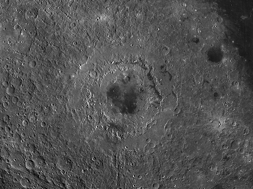
Image of the cratered lunar surface, centered on Mare Orientale, a multiringed crater that resembles a bull’s-eye
Posted inNews

Rolling Rocks Reveal Recent Moonquakes

by Jack Lee 8 January 202018 December 2023

Using satellite images of the lunar surface, scientists find trails left by boulders shaken loose by seismic activity.
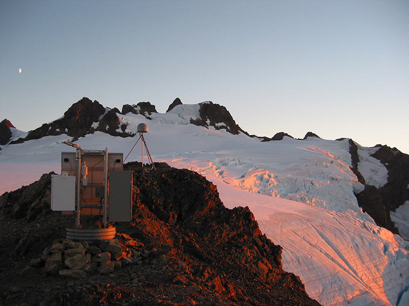
A continuously telemetered mountaintop GNSS station located on the Olympic Peninsula of Washington state
Posted inFeatures

Seismic Sensors in Orbit

by T. I. Melbourne, D. Melgar, B. W. Crowell and W. M. Szeliga 26 December 201923 February 2023

Navigation satellites are enabling high-precision, real-time tracking of ground displacements, supplementing traditional methods for monitoring and assessing earthquakes.

A crust fracture and craters on Mars
Posted inFeatures

A Modern Manual for Marsquake Monitoring

Kimberly M. S. Cartier, News Writing and Production Intern for Eos.org by Kimberly M. S. Cartier 11 December 201922 June 2022

Thanks to some extraordinary engineering, the InSight mission has led the new field of Martian seismology to the development of a new planetary magnitude scale in less than a year.
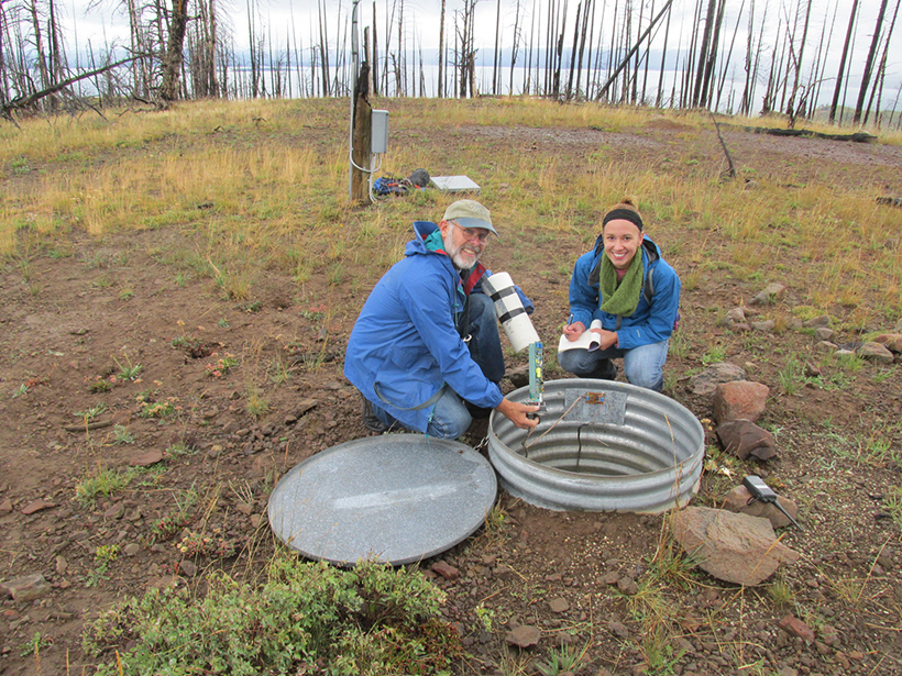
Two smiling scientists kneel to check equipment in an underground seismometer.
Posted inNews

Could Seismic Networks Reveal Hard-to-Detect Nuclear Tests?

Sarah Derouin, Science Writer by Sarah Derouin 25 October 201928 February 2022

In the age of monitoring nuclear weapons testing, existing regional seismic networks may be a key to discovering small, undetected explosions around the world.

High population density, a potential for large earthquakes, and basins that amplify seismic waves put downtown Los Angeles at risk
Posted inScience Updates

Exposing Los Angeles’s Shaky Geologic Underbelly

by R. W. Clayton, P. Persaud, M. Denolle and J. Polet 10 October 201928 October 2022

Current calculations might underestimate the susceptibility of Los Angeles to earthquake shaking, so researchers and volunteers are deploying seismic networks near the city to remedy a data shortage.

Satellite view of the Salton Sea and surroundings in California
Posted inResearch Spotlights

Distant Quake Triggered Slow Slip on Southern San Andreas

by Terri Cook 23 September 201929 September 2021

A high-resolution map of surface displacements indicates that the 2017 Chiapas earthquake caused substantial creep along a segment of the San Andreas Fault, located 3,000 kilometers away.

Map of southern California showing relationship between observed foreshock prevalence and magnitude of completeness
Posted inEditors' Highlights

Most Southern California Mainshocks Follow Foreshocks

by G. P. Hayes 19 September 20196 October 2021

New research using a highly complete earthquake catalog shows that 72% of M4+ mainshocks are preceded by foreshocks, implying that foreshock activity is much more prevalent than previously thought.

Cratered planet in blues and browns
Posted inNews

Our Seismic Solar System

Kimberly M. S. Cartier, News Writing and Production Intern for Eos.org by Kimberly M. S. Cartier 10 September 201917 June 2022

Earth’s not the only thing that shakes and quakes and goes around the Sun. Not by a long shot.

Study of three glaciers in Greenland
Posted inEditors' Highlights

Small Seismic Signals Tell a Story of Iceberg Calving

by Olga Sergienko 8 August 20198 December 2022

Seismic signals detected hundreds of kilometers away from Greenland glaciers reveal the calving style and iceberg size.

A photograph of a collapse scar bog near Fairbanks, Alaska
Posted inNews

The Permafrost Listeners

Lucas Joel by L. Joel 7 August 201928 July 2022

Geophysicists have discovered a way to monitor permafrost thaw by measuring seismic waves so gentle they don’t shake a thing.

Posts pagination

Newer posts 1 … 20 21 22 23 24 … 31 Older posts
Over a dark blue-green square appear the words Special Report: The State of the Science 1 Year On.

Features from AGU Publications

Research Spotlights

Typhoons Mix Up Bacteria and Biochemistry

10 July 20269 July 2026
Editors' Highlights

A Satellite-Based Global Carbon Flux Product is Sensitive to Droughts 

8 July 20266 July 2026
Editors' Vox

Small-Scale Indian Ocean Dynamics Underpin Marine Ecology and Climate

4 June 20263 June 2026
Eos logo at left; AGU logo at right

About Eos
ENGAGE
Awards
Contact

Advertise
Submit
Career Center
Sitemap

© 2026 American Geophysical Union. All rights reserved Powered by Newspack