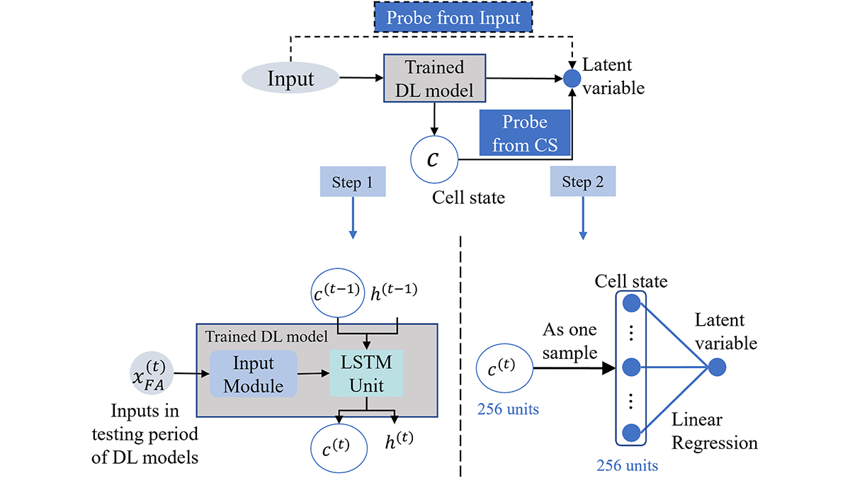
In hydrological modeling, predicting multiple tasks helps in identifying physical rules and generalizations.
Water Resources Research

Posted inEditors' Highlights
Tracking the Sinking Ground from Coal Seam Gas Extraction
A new model shows how coal seam gas extraction causes land to sink by linking groundwater loss and coal shrinkage, helping predict impacts on farming in gas-producing areas.
Posted inEditors' Vox
Advances in Ecological Forecasting
AGU and ESA invite contributions to a cross-society special collection on ecological forecasting across ecosystems and scales.

Posted inEditors' Highlights
Obtaining Local Streamflow at Any Resolution
A new upscaling method ensures that global simulations at low resolution preserve the streamflow at local points of interest, such as stream gauges.

Posted inEditors' Highlights
Rock Solid Augmentation: AI-Driven Digital Rock Analysis
Boosting digital rock images with AI-powered augmentation and quality analysis could improve subsurface engineering decisions.
Posted inResearch Spotlights
New Global River Map Is the First to Include River Bifurcations and Canals
GRIT provides a much more detailed look at how rivers merge and split, which could enhance hydrological modeling, flood forecasting, and water management efforts.

Posted inEditors' Highlights
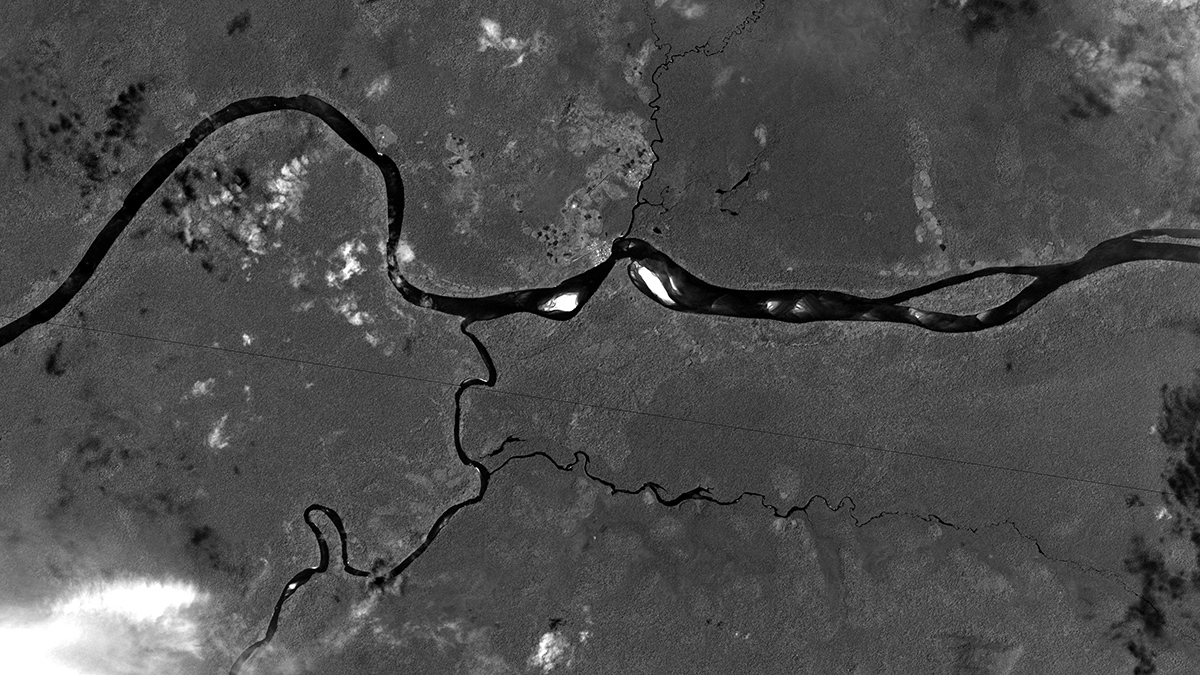
Strange Branching of Water Flows Through Rivers and Lakes
Sometimes rivers split into branches in unusual ways, reflecting the complexity of Earth’s water system on land and how much we still must learn about it.

Posted inResearch Spotlights
The Rivers That Science Says Shouldn’t Exist
At first glance, these waterways make no sense. A new review article details why they are the way they are.
Posted inEditors' Highlights
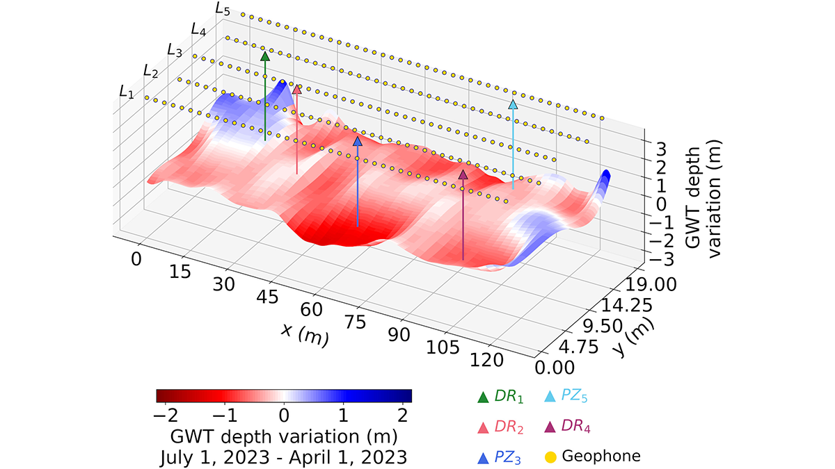
Listening to Groundwater Dynamics
Deep learning from shallow passive seismic data reveals groundwater table depth information in space and time.