
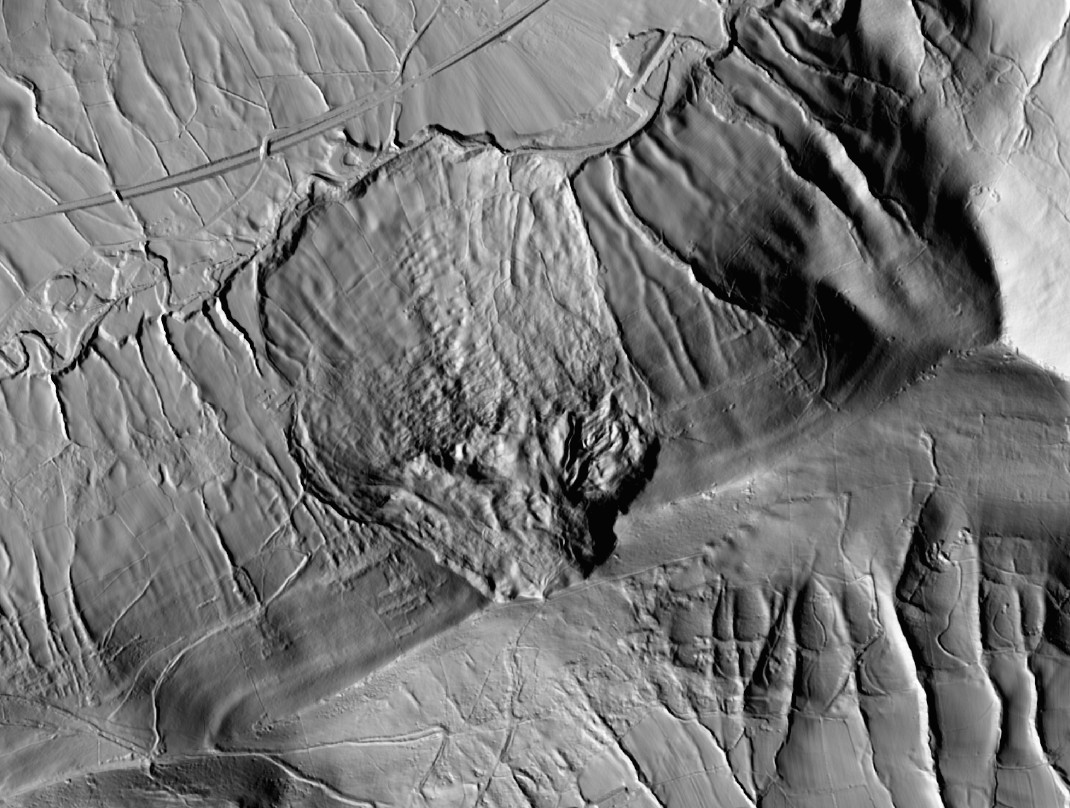
LiDAR Lens is a powerful tool that allows users to view LiDAR imagery for the UK. It highlights landslides spectacularly well, as a couple of examples show.
LiDAR Lens is a web service aimed at archaeology that provides access to LiDAR information for the United Kingdom. Run privately by Tim Daw, it is an astonishingly easy and useful way to access LiDAR data. It is free to use.
LiDAR Lens is also an extremely powerful way to view imagery of the many landslides across the UK. As an illustration, I thought I’d take a look at a couple in my backyard – the Peak District.
So, take a look at this one, located just to the northeast of the Ladybower dam (the location is: [53.36553, -1.71400]. First, here is the aerial image:-
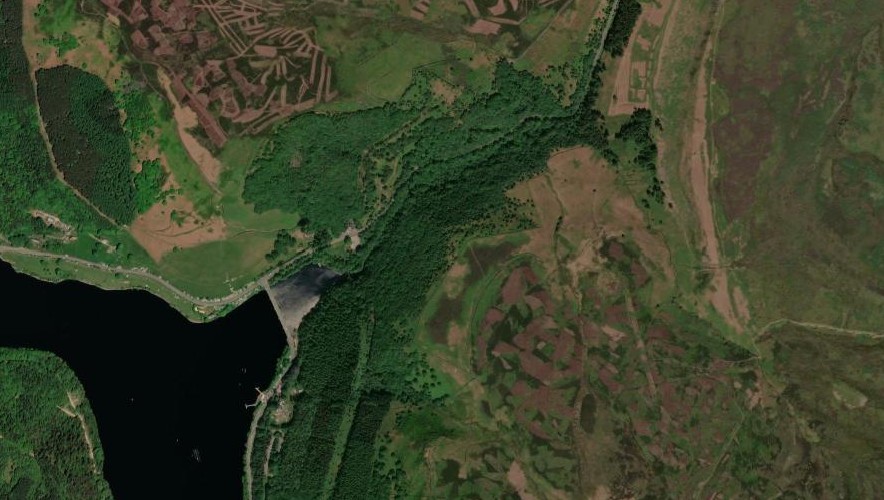
The landsldide is not obvious in this image. But here is the LiDAR data of the same area:-
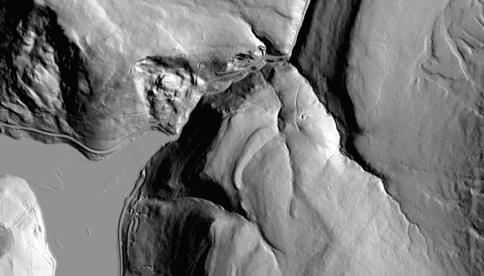
In the LiDAR, the presence of a relict landslide in the valley is very obvious – indeed, the road skirts around the debris at the toe of the slope. Note also the larger landslide complex to the northwest of the image too.
Heading further into the Peak District, look at this amazing example. This is the aerial imagery – the location is [53.35681, -1.80089]:-
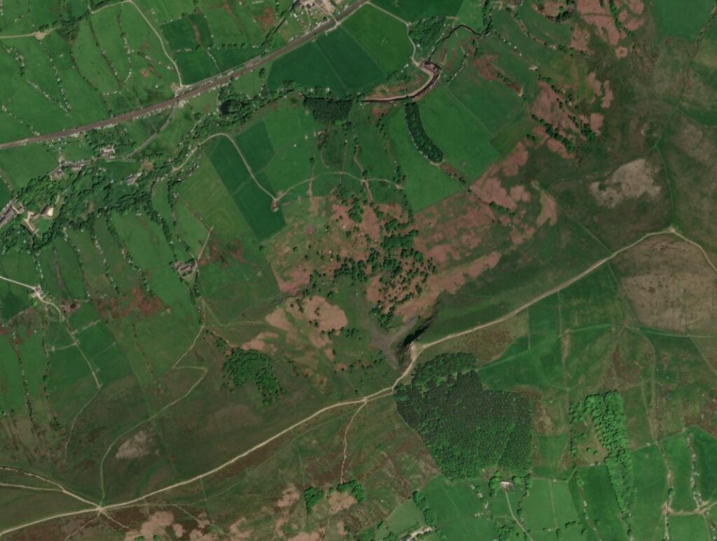
I suspect that a really skilled geomorphologist might suspect the presence of a relict landslide at this site from the shape of the ridge (and it is much more visible on the ground). But take a look at the LiDAR data:-
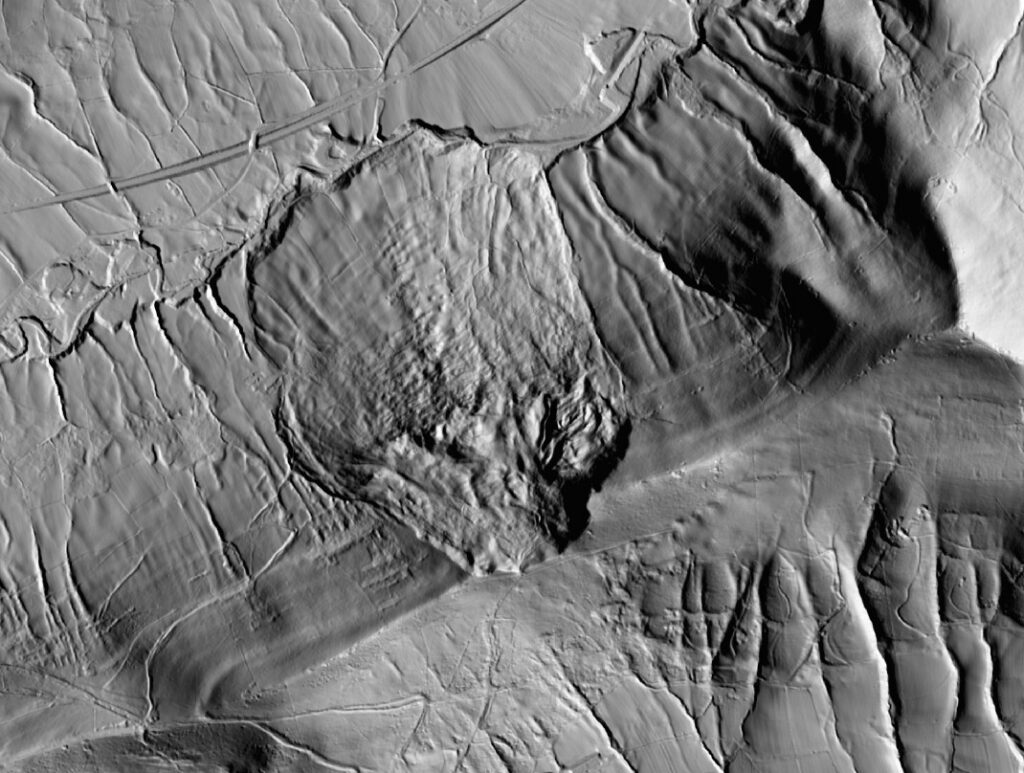
The really large failure of the ridge and long debris field is very clear in the LiDAR image. The deposit extends all the way to the channel.
There are many, many more examples to examine. LiDAR Lens is a very useful tool for examining individual failures in the UK, and it also highlights the extraordinary powrer of LiDAR as a tool.