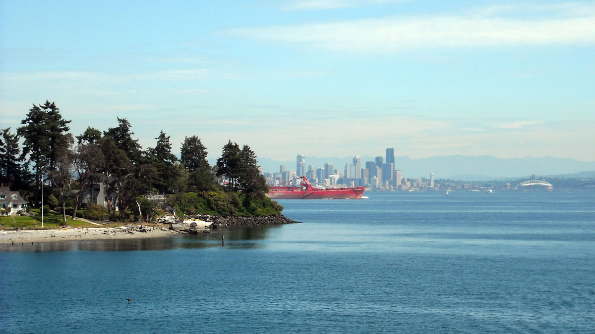
A new study of the Seattle Fault Zone is revealing records of smaller, hidden earthquakes that could inform future hazard research.
lidar
Posted inNews
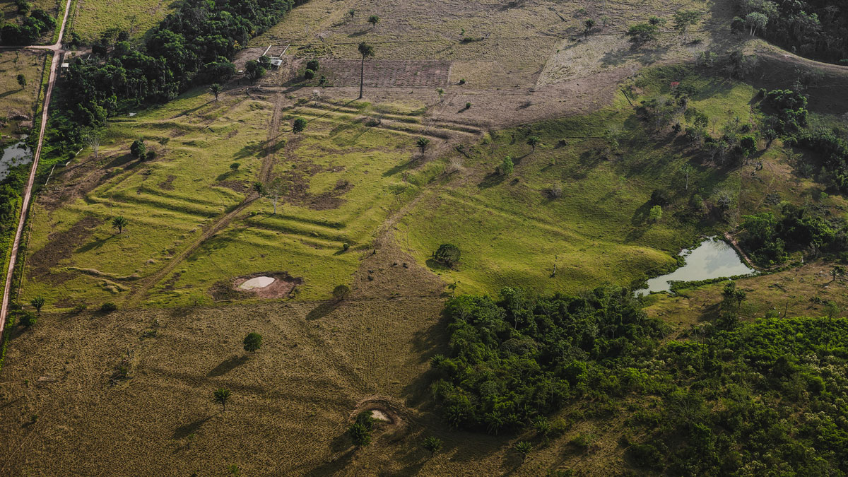
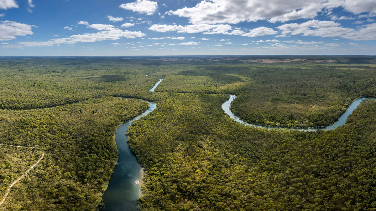
How Ancient Indigenous Societies Made Today’s Amazon More Resilient
Portions of the forest managed by pre-Columbian populations hold higher biomass and are more able to withstand climate change.
Posted inNews
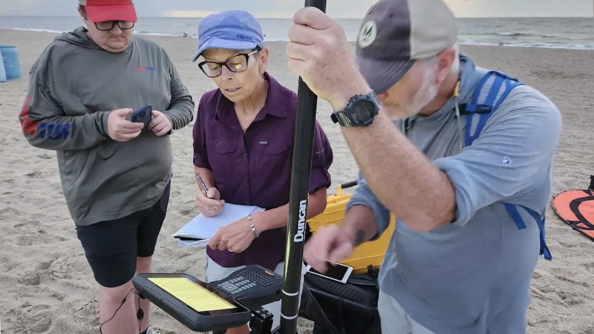
Inside a Georgia Beach’s High-Tech Fight Against Erosion
Armed with drones and lasers, scientists are creating detailed 3D maps of Tybee Island’s shifting shoreline.
Posted inFeatures
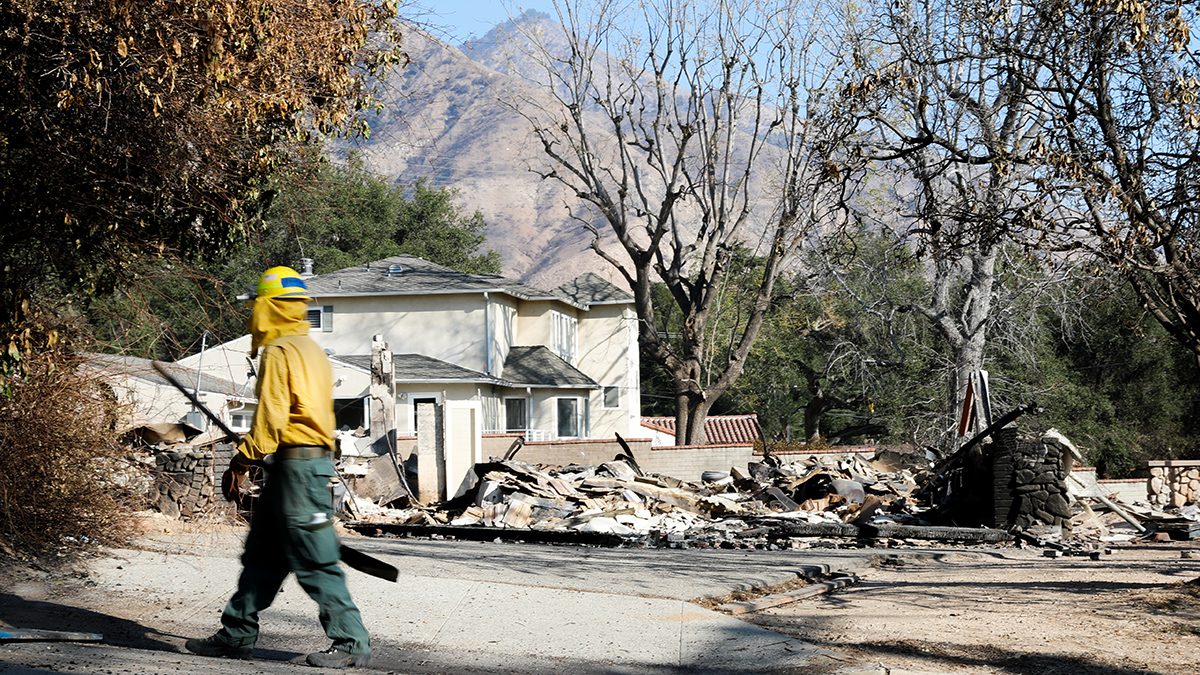
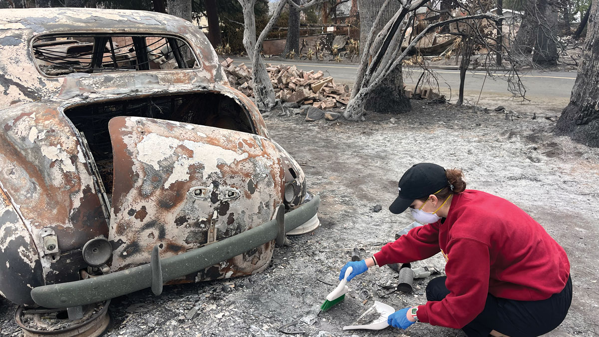
When Disaster Science Strikes Close to Home
How have scientists across Los Angeles used their skills to help their communities recover from the 2025 fires?
Posted inFeatures
Burning Urban and Wild Land Alike
When more densely populated Altadena and Pacific Palisades burned along with surrounding wildlands, hazards for residents didn’t stop when the fires were contained.
Posted inNews
New Rules for Catastrophic River Avulsion
Scientists thought two factors influencing river avulsion were unrelated, but new research suggests they may be working in tandem. The findings could help predict new river pathways and improve disaster preparedness.
Posted inEditors' Highlights
Improvements to Measuring the Ups and Downs of the Landscape
If you are a jazz fan, you may be familiar with Ella Fitzgerald singing ‘How deep is the ocean, how high is the sky’. Using data from the Shuttle Radar Topography Mission we now know how high the land really is.
Posted inNews
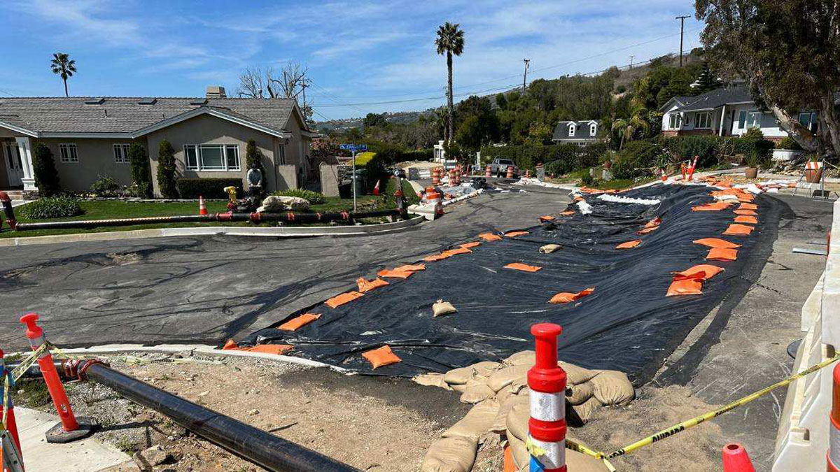
Rancho Palos Verdes Landslides Have Residents Seeking Science
Residents of Rancho Palos Verdes are looking to the scientific community for help in understanding the slow-moving landslides that are destroying their community.
Posted inNews
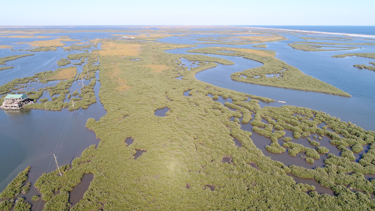
Hurricanes May Prune Gulf Mangroves
Tropical storms knock down the tallest trees and stunt the growth of others.
Posted inScience Updates
Decoding the Dialogue Between Clouds and Land
New research is challenging established assumptions about how clouds form and interact with Earth’s surface. One result may be better weather forecasts.