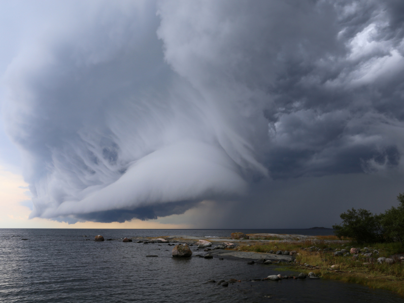
Source: Journal of Geophysical Research: Atmospheres
Satellites enable scientists to study the three-dimensional vertical structure of clouds, which can hold clues about atmospheric conditions and precipitation. However, cloud structure research has relied primarily on observations from single satellites or from satellites flying in close formation. This limits the amount of each cloud’s structure that can be “seen.”
In a new paper, Luo et al. demonstrate a new frontier for cloud structure research: the use of complementary observations from satellites that follow different orbits. By combining near-simultaneous observations from three different satellites, the scientists obtained a more complete picture of tropical cloud structure than could be gleaned from any single satellite on its own.
The team used measurements collected between 2006 and 2010 by the Tropical Rainfall Measuring Mission (TRMM), CloudSat, and Cloud-Aerosol Lidar and Infrared Pathfinder Satellite Observation (CALIPSO) satellites. Despite their different orbits, the satellites crossed paths frequently over the 4-year period, resulting in 15,986 instances in which they took measurements of the same cloud structure within 20 minutes of each other.
Each of the three satellites has unique strengths that make it particularly well suited to sensing a different part of each cloud. For example, CALIPSO’s lidar instrument is highly sensitive to small cloud droplets and ice crystals, whereas CloudSat’s radar can detect bigger cloud droplets and some precipitation particles. TRMM’s radar detects moderate to heavy precipitation but not light rain or drizzle.
The researchers combined and analyzed these complementary measurements to obtain detailed vertical pictures of tropical cloud systems and their associated precipitation. In doing so, they identified several distinctive patterns of cloud structure and precipitation that cropped up repeatedly during the study period.
The team compared these distinctive patterns with weather patterns identified as part of the International Satellite Cloud Climatology Project (ISCCP). ISCCP patterns are based on “passive” satellite detection of visible and infrared light instead of on “active” lidar and radar data obtained by emitting pulsed signals and detecting how they bounce back off clouds. This comparison showed that active and passive data can complement each other to enhance understanding of cloud systems.
These findings could help pave the way for future studies that combine complementary satellite measurements to better understand cloud structure. Such studies are more feasible now that a growing number of satellites are actively observing Earth’s atmosphere. (Journal of Geophysical Research: Atmospheres, https://doi.org/10.1002/2017JD026569, 2017)
—Sarah Stanley, Freelance Writer
Citation:
Stanley, S. (2017), Using multiple satellites gives a fuller view of cloud structure, Eos, 98, https://doi.org/10.1029/2017EO076169. Published on 26 June 2017.
Text © 2017. The authors. CC BY-NC-ND 3.0
Except where otherwise noted, images are subject to copyright. Any reuse without express permission from the copyright owner is prohibited.

