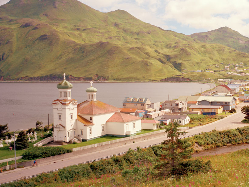
Recent high-resolution imaging of a major subduction zone running along the Aleutian Islands shows that an area known as the Shumagin Gap may pose a significant tsunami risk to nearby and distant shores. Researchers have found that the gap’s geological structure bears a striking resemblance to the part of the Japan Trench that ruptured in 2011 and sent a tsunami hurtling toward Japan’s mainland.
Tsunamis generated by the Shumagin Gap would roll up on Aleutian island shorelines within only about 30 minutes. Those traveling farther afield could send waves speeding south toward Hawaii and the U.S. mainland.
The 2011 earthquake and tsunami killed more than 20,000 people. For this stretch of the Aleutians, local tsunamis generated by the Shumagin Gap would roll up on Aleutian island shorelines within only about 30 minutes.
What’s more, tsunami waves traveling farther afield could speed south toward Hawaii and the U.S. mainland, potentially threatening hundreds of thousands of people. The study of seismic hazards in the gap, published this summer in Nature Geoscience, was led by Anne Bécel, a marine geophysicist at the Lamont-Doherty Earth Observatory (LDEO) of Columbia University in Palisades, N.Y.
Creeping Crust
The Alaska subduction zone stretches for roughly 4,000 kilometers from Russia to Alaska and generates numerous earthquakes as the Pacific plate dives beneath the North American plate. But the tectonic plates in the area of the Shumagin Gap are steadily creeping, releasing energy slowly as opposed to the quick release of energy in an enormous earthquake.
This area is accordingly thought to be incapable of generating large megathrust earthquakes, said Heidi Houston, a geophysicist at the University of Washington in Seattle. But earthquakes elsewhere along the Alaska subduction zone might have triggered shaking in the Shumagin Gap in the past, researchers have suggested. That’s a particularly dangerous situation because of the possibility of large tsunamis now revealed by Bécel and her team.
An Air Gun and Kilometers of Cable
Bécel and her colleagues collected data at sea on board the R/V Marcus G. Langseth, a research vessel operated by LDEO. Over the course of 38 days in summer 2011, the researchers projected powerful sound waves toward the seafloor using compressed air and carefully recorded how those waves bounced back.
We use sound waves to take pictures. This is one of the highest-resolution ways to image the Earth’s structure.
“We use sound waves to take pictures,” said Donna Shillington, a team member and marine geophysicist at LDEO. “This is one of the highest-resolution ways to image the Earth’s structure.”
Using the seismic reflecting imaging data, the researchers traced fault lines, accumulated sediments, and rock to depths of roughly 50–60 kilometers below the seafloor. The observations indicated that part of the North American plate had detached, resulting in an approximately 70-kilometer-long section of crust capable of freely moving in an earthquake.
Were an earthquake to drive this loose section upward, it could displace a massive volume of seawater and trigger a large tsunami, the researchers suggested. That would replay the scenario that unfolded in the Japan Trench 6 years ago, when the magnitude 9.0 Tohoku earthquake jolted upward a similarly detached block of the overriding tectonic plate.
Ground Truthing
Although these recent findings suggest that the Shumagin Gap may pose a major tsunami hazard, follow-up observations are needed, other researchers said. “Finding these characteristics elsewhere around the world is necessary to confirm this hypothesis,” said Alberto Lopez-Venegas, a geophysicist at the University of Puerto Rico’s campus in Mayagüez.
Rob Witter, a geologist with the U.S. Geological Survey at the Alaska Science Center in Anchorage, suggests that the next step is to consult the geologic record to look for evidence of historic tsunamis. “But so far, coastal evidence consistent with a great earthquake and tsunami…has eluded us,” Witter said.
—Katherine Kornei (email: [email protected]; @katherinekornei), Freelance Science Journalist
Citation:
Kornei, K. (2017), Faults off Alaska look akin to those behind 2011 Japan disaster, Eos, 98, https://doi.org/10.1029/2017EO082869. Published on 21 September 2017.
Text © 2017. The authors. CC BY-NC-ND 3.0
Except where otherwise noted, images are subject to copyright. Any reuse without express permission from the copyright owner is prohibited.

