This is an authorized translation of an Eos article. Esta es una traducción al español autorizada de un artículo de Eos.
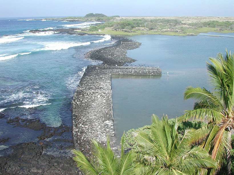
If you are looking for a waterway between land and sea, you can start by looking beneath your feet.
“People think of rivers, which is a natural thing to come to mind,” said Nils Moosdorf, a professor of hydrogeology at Kiel University in Germany. “But groundwater has an invisible connection that is usually not considered.”
Moosdorf himself was not aware of this connection until 2012, when, as a graduate student studying river transport, he attended a scientific talk about how 10 times more groundwater leaves the Big Island of Hawaii than river water. “That was an eye-opener because I never heard about groundwater going directly to the ocean before,” Moosdorf said. “And I thought, ‘Oh wait, that must be interesting,’ and then I started to get into that.”
Understanding the contribution of groundwater to oceans is important because fresh groundwater is rich in nutrients and solutes like carbon, iron, silica, and nitrogen that impact coastal ecosystems.
In a paper recently published in Nature Communications, researchers developed the first global computer model of fresh groundwater flow into oceans. The flow was “supervariable,” said Elco Luijendijk, a geologist at the Georg August University in Göttingen, Germany, and lead author of the study. Of the total groundwater flux worldwide, “about 10% of the coastline takes up 90% of the total amount of water.”
This percentage means that at a global scale, coastal groundwater discharge accounts for around 1% of fresh water flowing into the ocean. But in some locations, including sensitive coastal ecosystems like estuaries, salt marshes, and coral reefs, groundwater fluxes are larger and more important and could potentially impose risk for pollution and eutrophication into these systems.
“We have kind of slowly been moving towards integrating submarine groundwater discharge studies into more traditional physical hydrology,” said Alanna Lecher, a biogeochemist at Lynn University in Florida who was not involved in this study. “I think this paper was the first one to really do that well on a large scale.”
Building a Global Map of Groundwater Discharge
Traditionally, researchers investigate groundwater discharge in local field studies using isotope tracers like radon and radium. Using these tracers captures the total amount of groundwater discharge, which includes salt water and fresh water, Lecher said.
These field measurements are local and probably overestimate the amount of groundwater being discharged into the ocean. “Often they find spots where there is a high flux and sort of extrapolate that over areas or even make statements about the globe,” Luijendijk said.
A model examining a global view of groundwater discharge had not been made before because “in this day and age, it’s still a challenge to model these fairly simple processes,” Luijendijk said. The researchers ran two-dimensional models of cross sections of the coastline and varied different hydrogeological parameters, like the topographic gradient, permeability of the aquifer, and groundwater accumulation rate.
One of the most valuable parts of the study is that it reveals the limiting factors for groundwater discharge to the ocean, Lecher said. “We have to take into account the physical characteristics of the coastal aquifer. We can’t just rely on tracer studies.”
The permeability of the aquifer was the dominant factor for groundwater flow, said Moosdorf, who was the senior author of the study. “If you imagine a sponge sitting on your kitchen table and you put water on top, it flows out below.”
The researchers combined their computer models with analyses of existing global data sets to produce a high-resolution map of fresh groundwater discharge from coastlines around the world, which revealed coastal watersheds “hot spots” where fresh groundwater flux is high and likely important. “There have never been, at that resolution, global maps of groundwater discharge,” Moosdorf said. “So now we can see where it’s probably relevant.”

A “Time Bomb” Beneath the Surface
Fresh groundwater is an important natural resource for human society and is used for drinking, washing, agriculture, and fishing, Moosdorf said.
For the people who rely on fresh groundwater, its power is captured in the language they use. “They have words for it. And I always think it’s when you have a word in a language for something that means it’s relevant to you because otherwise, you wouldn’t have created that word.” In Fiji, for example, the word “tuvu” refers to a freshwater submarine spring found on a beach. In Australia, fishermen closely guard their favorite fishing spots around submarine springs they call “wonky holes.”
Groundwater can also be a hidden source for pollution and potential eutrophication for coastal ecosystems.…“It’s potentially a little bit of a time bomb.”
However, groundwater can also be a hidden source of pollution and potential eutrophication for coastal ecosystems. “If we start polluting the groundwater too much, the coastal ecosystem might get into trouble,” Moosdorf said. “Many people do not connect land and ocean if there’s no river.”
Groundwater moves very slowly, up to tens of meters per year down to a mere centimeter. “It’s not really monitored anywhere,” Luijendijk said. “It’s potentially a little bit of a time bomb,” he added.
However, Lecher cautioned, “using the term eutrophication is almost alarmist because that is going to have major environmental impacts, die-offs of organisms, whereas in this case, it’s just enhanced impact on the environment caused by submarine groundwater discharge.”
There are mitigating factors that might reduce the risk even if coastal ecosystems receive nutrients from fresh groundwater. If the body of water is larger, for example, the nutrients could be diluted.
That said, “this study shows the pathway that pollutants or nutrients can make to the ocean through fresh groundwater discharge,” Lecher added.
Connecting Fields to Study the Groundwater Connection
The global model can still be improved, Luijendijk said. “We definitely need more studies and we want to zoom into the local scale. With these global models, you’re always wrong in someone’s backyard.”
“This is a big step forward in submarine groundwater discharge science. The science should be cohesive, it should all work together.”
To improve understanding in this field, making better connections between different communities is essential. “There is a disconnect between fieldwork and global modeling,” Moosdorf said. There are also disconnects between hydrogeologists concerned mainly for what happens on land and marine biologists who might not know that groundwater water enters the sea. “So to connect those two, I think, is an important step,” he said. “It’s not rocket science.”
But this one study is already making waves. “This is a big step forward in submarine groundwater discharge science. The science should be cohesive, it should all work together,” said Lecher.
—Richard J. Sima (@richardsima), Science Writer
Citation:
Sima, R. J. (2020), Groundwater is the “hidden connection” between land and sea, Eos, 101, https://doi.org/10.1029/2020EO142742. Published on 28 April 2020.
Text © 2020. The authors. CC BY-NC-ND 3.0
Except where otherwise noted, images are subject to copyright. Any reuse without express permission from the copyright owner is prohibited.