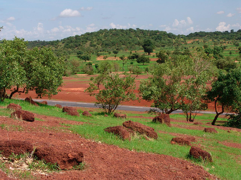
Agriculture in the Sahel—the arid band of grasslands dividing the Sahara desert and African rain forests—is tightly linked with the climate system. Farmers rely on rainfall, most of which arrives in summer when the West African monsoon system shifts direction. From June through September, the prevailing winds carry moist ocean air inland over West Africa. Understanding how the monsoon moves moisture and dust—important ingredients for cloud formation and thus rainfall—is critical for the region’s farmers and those who rely on their crops.
But the West African monsoon is notoriously complex, and its transport processes are still not well understood. Now, in a new study, an interdisciplinary team of researchers provides a new tool to study the transport processes that bring rain to the Sahel.
“It gives a new perspective on a system that we have been puzzled about for a long time.”
The study, published last month in Scientific Reports, uses a mathematical tool to identify the sources of both moisture and dust, which can trigger condensation (an important step in cloud formation), and to trace their three-dimensional trajectories across the monsoon system.
“It gives a new perspective on a system that we have been puzzled about for a long time,” said Peter Knippertz, a professor of meteorology at the Karlsruhe Institute of Technology in Germany who was not involved in the study.
“A lot of the models we use today to forecast the African monsoon, they are just really bad,” Knippertz said. “It’s a very complicated and very dynamic system.” And an unreliable one: There’s substantial variation in the amount of rain the monsoon brings, with sometimes devastating consequences. An extended drought that began in the late 1960s and peaked in the 1980s led to widespread famine that killed tens of thousands of people across the Sahel. Rainfall levels have yet to fully recover.
Predicting rainfall in tropical Africa is exceedingly difficult; our standard weather models rarely provide accurate forecasts even a day out, according to Knippertz. That’s partly due to a lack of observations in the region and partly because those models were developed in more temperate regions like the United States and Europe, which have different climate and atmospheric dynamics.
“In Africa, you have a combination of a lack of observations and very, very challenging meteorology,” Knippertz said.
A New Model of Mixing
The team used daily averages of nearly 40 years of horizontal and vertical wind velocity observations from the European Centre for Medium-Range Weather Forecasts’ ERA-Interim meteorological analysis data set to identify the mean velocity fields during the month of August—the peak month of the monsoon. Climatologists have long used these mean climatological velocity fields to paint a broad picture of transport within the monsoon. Here the team applied a tool from dynamical systems theory called Lagrangian descriptors to gain deeper insights into the source and mixture of moisture and dust through the atmospheric features of the monsoon, including the African Easterly Jet and the Tropical Easterly Jet. Their method provides a geometrical partition (separating moisture-bearing particles that originated on the ocean surface from dust-bearing ones coming from the land surface), which allows researchers to track where the particles mixed.
“We were able to discover pathways that were not very well described in the literature,” said lead author Ana Maria Mancho, a research scientist at the Instituto de Ciencias Matemáticas in Spain. One of the pathways connected the two jet streams.
“I always regarded those as pretty much independent systems,” said Knippertz. “To see that there seems to be natural exchange of air between the two, that’s to me the most interesting point.”
“It’s nice that ideas can come from an abstract world like mathematics and at the end can have real implications for real problems.”
But although the new tool provides revealing insights about transport in the West African monsoon system, it is not a complete picture. Knippertz cautions that the ERA-Interim data set doesn’t capture key processes that could affect transport, like thunderstorms and turbulence. “They are not really represented in such a data set,” he said, “and of course, in an energetic system like the West African monsoon, they are responsible for a lot of transport and mixing between air masses.”
The authors claim that eventually, the new method could inform drought assessments because it can identify where humidity and dust mix—conditions that favor the formation of clouds. But it remains to be seen whether this method can improve cloud parameterization, the numerical approximations weather models use to simulate cloud behavior. Mancho cautions that this study didn’t look at cloud formation directly.
“We are just finding ingredients that are important for cloud formation, and cloud formation is important for rain,” she said. “But not all clouds lead to rain.” More work is needed for the tool to have a direct impact on precipitation or drought indices.
But the study provides an example of how interdisciplinary work can provide researchers with new perspectives on old problems and on their own fields.
“For me, the velocity fields that I had were just velocity fields, but then suddenly, you realize that that is not just a number, it’s a very important process in the troposphere that is controlling a very important thing for the lives of the people down there,” Mancho said. “It’s nice that ideas can come from an abstract world like mathematics and at the end can have real implications for real problems.”
—Kate Wheeling (@katewheeling), Science Writer
Citation:
Wheeling, K. (2020), Mathematical insights into the West African monsoon, Eos, 101, https://doi.org/10.1029/2020EO148254. Published on 26 August 2020.
Text © 2020. The authors. CC BY-NC-ND 3.0
Except where otherwise noted, images are subject to copyright. Any reuse without express permission from the copyright owner is prohibited.