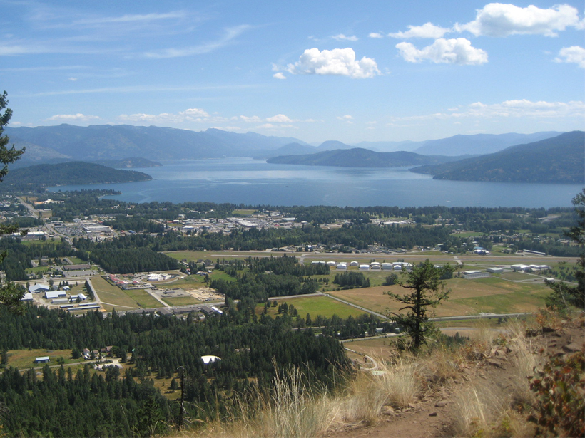
Last April, a swarm of earthquakes shook the ground near Sandpoint, Idaho. Unused to shaking, Sandpoint’s residents took notice. So did local media, widely reporting on the events. But it wasn’t the size or location of the earthquakes that surprised scientists.
Sandpoint lies along the Lewis and Clark Fault Zone, and previous earthquakes in the region were caused when the Earth’s crust pulled apart, which geologists call extension. But the earthquakes that struck on 24 April were caused by the Earth pushing together, Daisuke Kobayashi of the University of Idaho, Moscow, reported Monday in a poster at the 2015 American Geophysical Union Fall Meeting in San Francisco.
The Earth Pulls Apart
Crustal extension formed the region of the United States that stretches from New Mexico to California in the south and Utah to Nevada in the north and is known as the Basin and Range. In the southwestern portion of the area, abrupt changes in elevation—rows of steep mountains rising out of a flat landscape—characterize the terrain.
If the Earth’s crust is moving apart somewhere, it comes back together someplace else.
On some maps, the Basin and Range region barely reaches into southern Oregon, where the ranks of jutting mountains peter out. But if you ask Kobayashi, the Basin and Range range doesn’t end where the mountains do: The crustal extension that created the geography extends farther north. One snaking finger of this extension, the Lewis and Clark Fault Zone, stretches east to west across the northern part of Idaho.
A Twist in the Crust

If the Earth’s crust is moving apart somewhere, it comes back together someplace else, explained Kobayashi. A 2013 study published in the Journal of Geophysical Research: Solid Earth found that massive crustal rotation causes the spreading of the Earth in the Basin and Range region. The crust under the Pacific Northwest is thin and young, making it flexible. As distant tectonic plates push on each other, the region is slowly rotating clockwise. In the Basin and Range region, this means that the crust is pulling apart. Sandpoint, on the other hand, is at the top of the clock face, where the crust is thicker and more stable. Rotation stops as the hand strikes midnight, and the malleable outer crust meets the immovable center.
The Western Limit of Extension
The swarm of earthquakes in Sandpoint may help answer a bigger question about the scope of crustal extension in Idaho. If Kobayashi is correct, the Sandpoint earthquakes mark the western point where extension stops and contraction begins.
Kobayashi hypothesizes that these earthquakes indicate reactivation of an old fault.
In a staff report in press for the Idaho Geological Survey, Kobayashi hypothesizes that these earthquakes indicate reactivation of an old fault, the Purcell Trench Fault. The fault formed as a result of extension, but contraction may be reactivating it. This fault and the larger Lewis and Clark Fault Zone have rarely been studied, but they are near population centers. If the Purcell Fault is reactivating, it could produce a potentially damaging magnitude 5 earthquake—the question is where. Kobayashi urges placement of more seismic stations in Idaho’s panhandle to help predict when and where future quakes will occur.
—Erin E. A. Ross, Science Writing Program Graduate Student, University of California, Santa Cruz; email: [email protected]; Twitter: @erineaross
Citation: Ross, E. E. A. (2015), The backwards earthquakes, Eos, 96, doi:10.1029/2015EO041669. Published on 15 December 2015.
Text © 2015. The authors. CC BY-NC 3.0
Except where otherwise noted, images are subject to copyright. Any reuse without express permission from the copyright owner is prohibited.