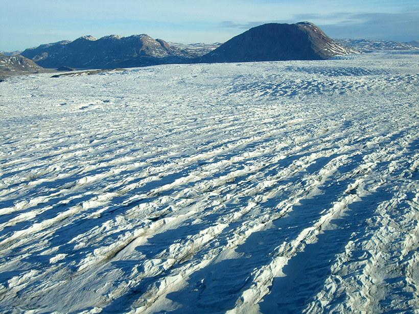
A new web-based data portal gives scientists access to more than 40 years of satellite imagery, providing seasonal to long-term insights into outflows from Greenland's ice sheet.
A new web-based data portal gives scientists access to more than 40 years of satellite imagery, providing seasonal to long-term insights into outflows from Greenland's ice sheet.