
International Workshop on Airborne Geodesy and Geophysics with Focus on Polar Applications; Dresden, Germany, 19–21 April 2017
M. Scheinert
Posted inScience Updates
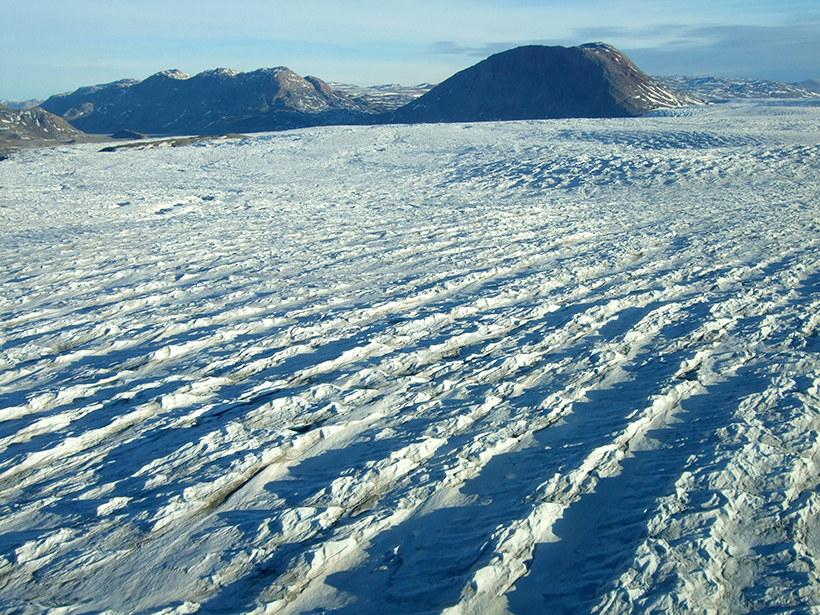
Using Landsat to Take the Long View on Greenland's Glaciers
A new web-based data portal gives scientists access to more than 40 years of satellite imagery, providing seasonal to long-term insights into outflows from Greenland's ice sheet.