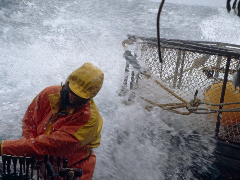
New satellite radar image-processing system provides wind speed maps with an unprecedented degree of precision. Such maps will help coastal communities prepare for wind-related hazards.

New satellite radar image-processing system provides wind speed maps with an unprecedented degree of precision. Such maps will help coastal communities prepare for wind-related hazards.