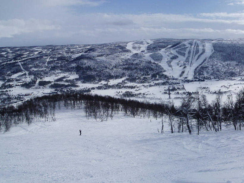
Meeting of the Norwegian Centre for Climate Services; Geilo, Norway, 25–26 October 2017
Science Updates
Posted inScience Updates
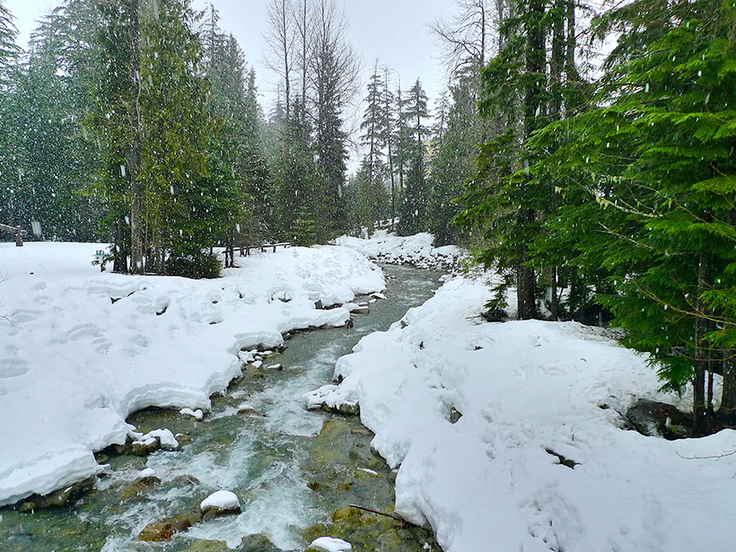
How Can We Find Out How Much Snow Is in the World?
In Colorado forests, NASA scientists and a multinational team of researchers test the limits of satellite remote sensing for measuring the water content of snow.

Posted inScience Updates
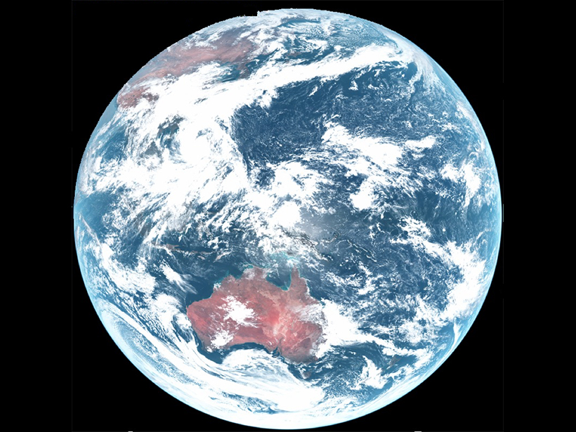
Assessing and Understanding Climate Change in Africa
Climate Change in Africa: Evidence, Mechanisms, and Impacts, Past and Present; Marrakesh, Morocco, 6–11 November 2017
Posted inScience Updates
The Stratosphere and Its Role in Tropical Teleconnections
Joint SPARC Dynamics and Observations Workshop; Kyoto, Japan, 9–14 October 2017
Posted inScience Updates
Making Maps on a Micrometer Scale
Geographic information system software, created for mapping cities and continents, works equally well with the minuscule layers and inclusions that record a crystal’s history.
Posted inScience Updates
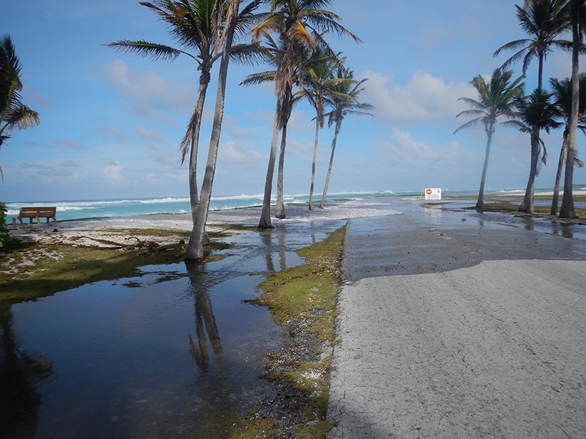
Challenges of Forecasting Flooding on Coral Reef–Lined Coasts
Understanding Flooding on Reef-lined Island Coasts Workshop; Honolulu, Hawaii, 5–7 February 2018
Posted inScience Updates
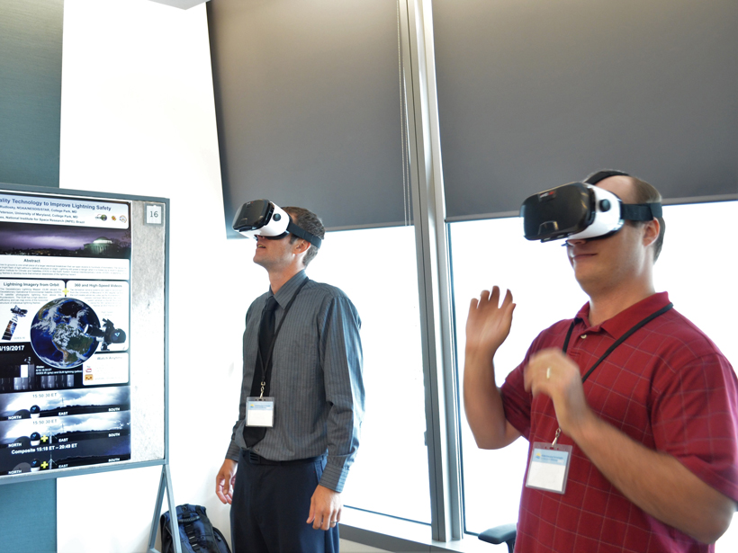
NOAA Seeks Emerging Technologies to Further Its Mission
National Oceanic and Atmospheric Administration Emerging Technologies for Observations Workshop; College Park, Maryland, 22–23 August 2017
Posted inScience Updates
Dynamic Ice Sheet and Sea Level Response to Past Climate Change
PALSEA2 Workshop; Playa del Carmen, Quintana Roo, Mexico, 6–9 November 2017
Posted inScience Updates
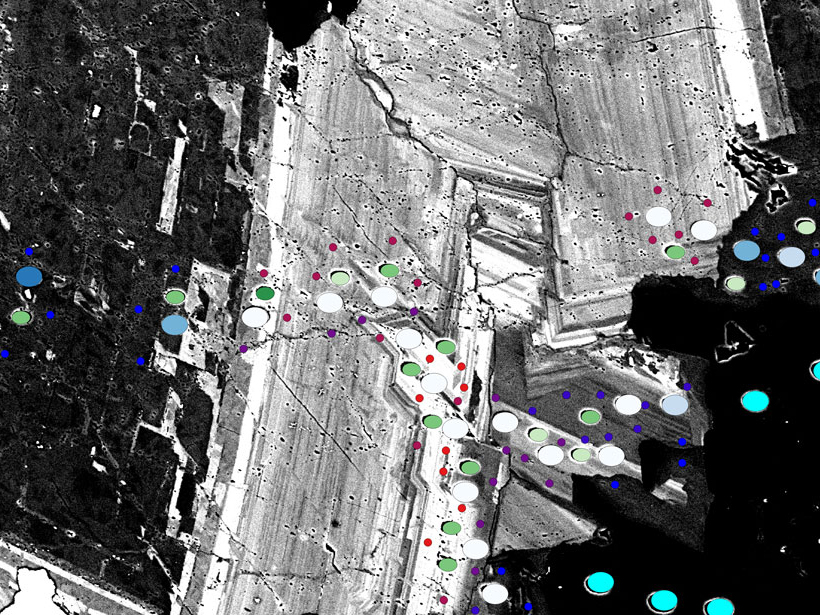
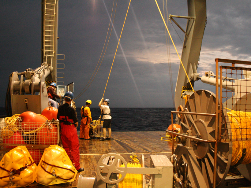
What’s the Best Way to Responsibly Collect Ocean Data?
Evolving and Sustaining Oceans Best Practices Workshop; Paris, France, 15–17 November 2017

Posted inScience Updates
Geoscientists Collaborate to Understand Silicic Magma Systems
American Geophysical Union Chapman Conference: Merging Geophysical, Petrochronologic, and Modeling Perspectives of Large Silicic Magma Systems; Quinamavida, Chile, 7–12 January 2018