
Editors’ Highlights are summaries of recent papers by AGU’s journal editors.
Source: Journal of Geophysical Research: Biogeosciences
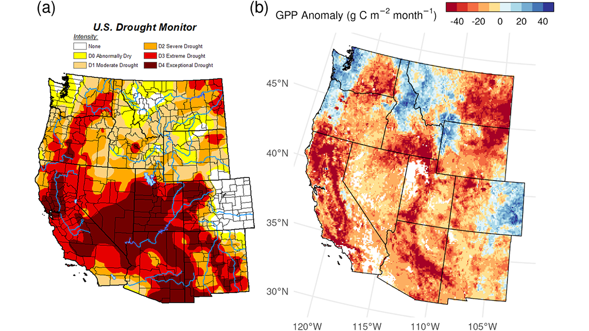
In carbon cycle research, various global carbon flux products are now available with different accuracies and characteristics. After 10 years of NASA’s Soil Moisture Passive and Active (SMAP) mission, Endsley et al. [2026] generate a daily global carbon flux product that uses SMAP data to constrain the simulations of root-zone soil moisture, vegetation productivity and ecosystem respiration. In comparison with ground-based carbon flux measurements, the authors demonstrate that a relatively parsimonious process-based model constrained by SMAP data is capable of simulating global terrestrial ecosystem carbon fluxes on par with complex machine-learning models. As drought and pluvial events are intensifying globally in recent decades, such a soil water-sensitive daily carbon flux product would be highly useful for global carbon cycle and climate change research.
Citation: Endsley, K. A., Kimball, J. S., Reichle, R. H., Ardizzone, J. V., Kundig, T., Colligan, T., et al. (2026). A global, daily carbon budget for terrestrial ecosystems constrained by satellite observations of soil moisture: The SMAP Level 4 carbon product at ten years. Journal of Geophysical Research: Biogeosciences, 131, e2025JG009588. https://doi.org/10.1029/2025JG009588
—Jing Chen, Associate Editor, JGR: Biogeosciences