Source: GeoHealth
Historical and current pollution from numerous sources causes disease and death throughout the world. To reduce the impact of this pollution on human health, comprehensive and cost-effective methods are needed to identify these sources.
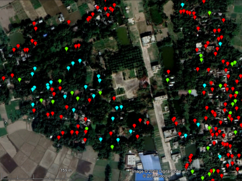
Filippelli et al. [2020] give an excellent overview of new ways to identify and reduce pollution-related health burdens. These new approaches include low-cost monitoring of air pollution using satellite reflectance data to measure metal contamination of soils and incorporating citizen science for data collection.
The paper stresses the need for policy makers and scientists to work together to protect human health into the 21st century. The case studies provided show how pollution science can be combined with real applications for global communities to safeguard human health.
Citation: Filippelli, G., Anenberg, S., Taylor, M., van Geen, A., & Khreis, H. [2020]. New approaches to identifying and reducing the global burden of disease from pollution. GeoHealth, 4, e2018GH000167. https://doi.org/10.1029/2018GH000167
—Karen Hudson-Edwards, Editor, GeoHealth
Text © 2020. The authors. CC BY-NC-ND 3.0
Except where otherwise noted, images are subject to copyright. Any reuse without express permission from the copyright owner is prohibited.