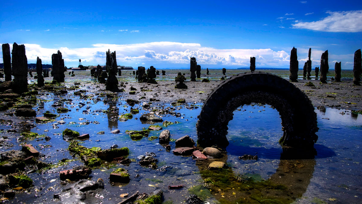
Tire particles might seem tasty, if you’re a fish—but a new study shows how this pervasive microplastic can affect growth and behavior in marine species.
pollution
Posted inNews
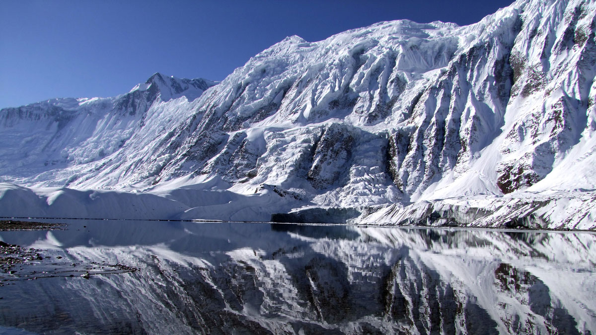
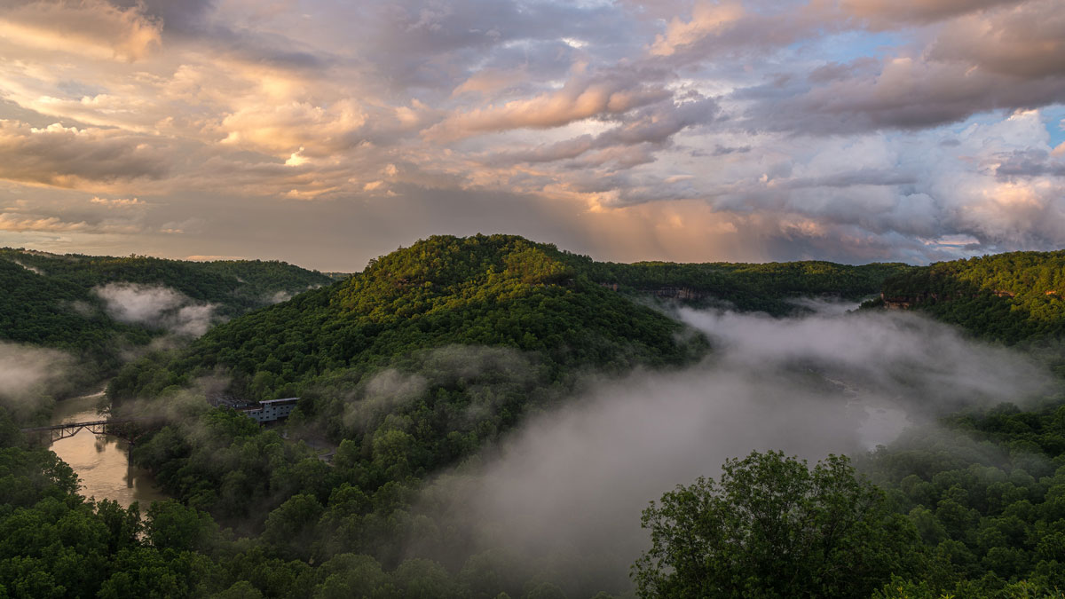
Trekking Tourism Leaves a Microplastic Footprint in a High Himalayan Lake
Plastic pollution may ripple downstream, threatening the human and wildlife communities that depend on glacier-fed waters.
Posted inNews
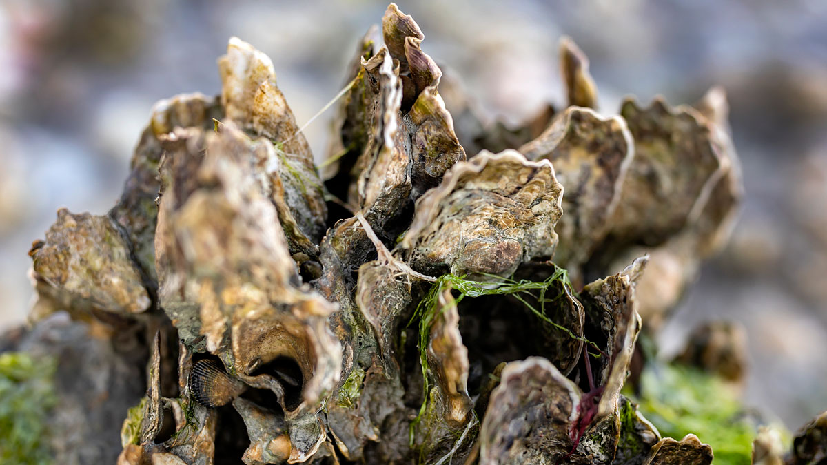
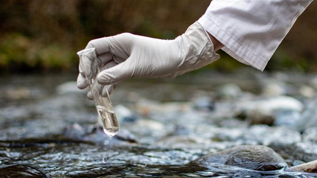
Oysters Clean Up More Nitrogen Pollution Than We Thought
New research has revealed that significant amounts of excess nitrogen in coastal waters are buried as oyster reefs grow and that some reefs trap more nitrogen than others.

Posted inNews
The Fiery Tornadoes That Could Mop Up Oil Spills
More than 15 years after the Deepwater Horizon disaster, researchers are still searching for new ways to tackle disastrous spills. Some are looking to flaming twisters.
Posted inNews
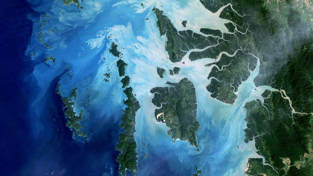
Have We Been Focusing on the Wrong Ocean Pollutants? This Study Maps What We’ve Been Missing
A global analysis of more than 2,300 seawater samples found that largely unmonitored industrial compounds are widespread across oceans and may be changing crucial biological and carbon cycling processes.
Posted inAGU News
The Persistence of PFAS
Researchers around the world are seeking to search and destroy pervasive “forever chemicals.”
Posted inNews
As the Coal Industry Fades, Life Expectancies in Coal Country Shift
Coal mining brings a slew of risks to communities, but “being employed is good for your health.”
Posted inNews
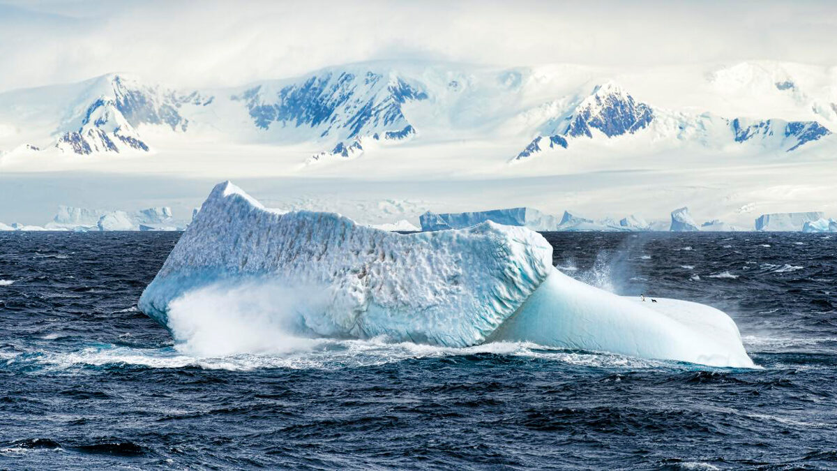
Tracing the Path of PFAS Across Antarctica
A new study examines the presence of forever chemicals in one of Earth’s most remote regions.
Posted inNews
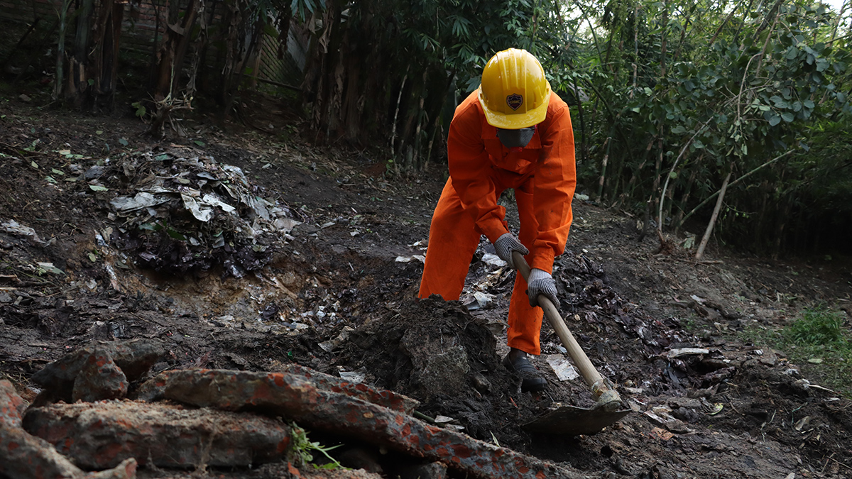
Cleanup of Battery Recycling Sites May Lower Childhood Lead Exposure
Unsound recycling of lead-acid batteries pollutes the soil around houses and agriculture fields in developing countries. Soil remediation might help in lowering the blood lead levels of children.
Posted inNews
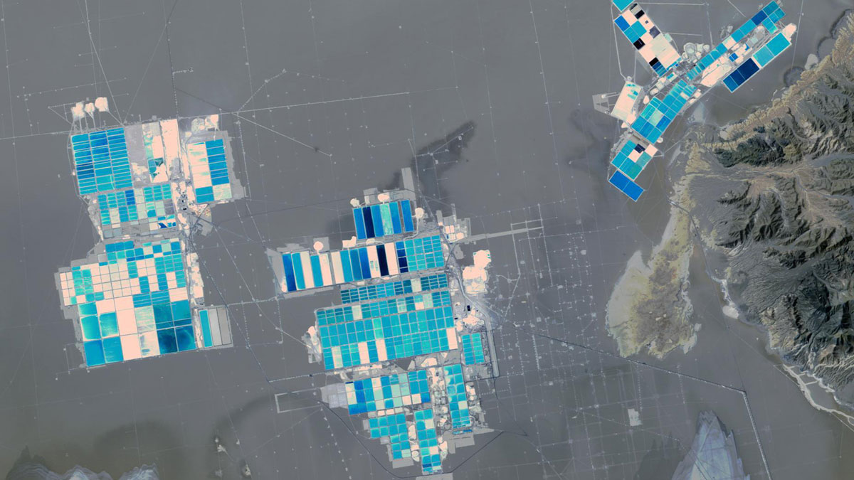
Engineering a Cleaner Way to Extract Lithium
The new chemical solvent technique could cut water use, speed extraction, and unlock reserves like California’s Salton Sea.