Monitoring natural resources—water, forests, and animal populations—is required to support effective management of natural resources. However, because monitoring activities are often specific to a discipline, issue, or agency, it is typically difficult to integrate data to answer questions that transcend geopolitical and jurisdictional boundaries. How do we reach the better data integration we need?
How do we reach the better data integration we need? One answer may be through the use of “enterprise resources.”
One answer may be through the use of “enterprise resources.” In the business world, organizations use enterprise resources, a suite of integrated processes or tools to coordinate, collect, document, and discover data, as well as to design and implement data collection. Similarly, the use of enterprise resources in natural resource science could support large-scale, long-term monitoring, improve interoperability of data, and increase our capacity to understand and manage large natural and human-affected landscapes.

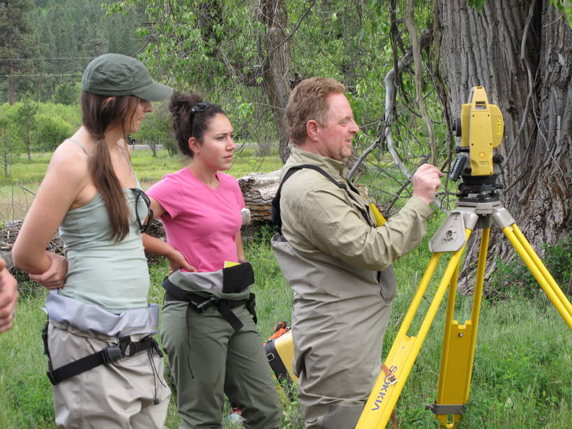
In October 2016, the U.S. Geological Survey (USGS), in collaboration with the Pacific Northwest Aquatic Monitoring Partnership (PNAMP), convened a 30-person workshop to identify and prioritize development of enterprise resources for programs that monitor the status and trends of species populations (e.g., bats, fish, and migratory birds) and their terrestrial, aquatic, and marine habitats (e.g., forests, grasslands, rivers, and ocean coasts). Participants included representatives from federal natural resource research and land management organizations (e.g., the U.S. Agricultural Research Service and National Park Service) and nongovernmental organizations (e.g., NatureServe) that manage natural resource monitoring programs.
Objectives of the workshop included the following:
- identifying capacities available to support natural resource monitoring programs working across the data life cycle
- identifying and prioritizing new capacities or enterprise tools to facilitate program design, implementation, and operation
- identifying standards and best practices that improve discovery, accessibility, and interoperability of data across programs and jurisdictions
- contributing to an emerging community of practice focused on natural resource monitoring
The workshop was framed around MonitoringResources.org, a nonproprietary, free, and open access suite of enterprise monitoring tools developed and maintained by USGS and PNAMP. Plenary speakers set the stage by describing emerging federal requirements for improved discoverability, accessibility, and management of natural resource monitoring data.
The program then shifted to a set of talks that described current and developing applications of the MonitoringResources.org suite of monitoring and information management tools. Tools discussed included those used to assess fish and aquatic habitats in the Columbia River Basin and to develop and document spatially balanced sampling designs in semiarid rangelands. Speakers also showcased how to use the site’s protocols library to support assessments of DNA collected from environments (to detect, for example, the presence of endangered species) and to share methodologies across states or agencies.
Breakout groups identified existing and desired capacities for monitoring programs and then voted to prioritize additional developments of MonitoringResources.org. Priorities included the following:
- a geospatial tool that enables stakeholders to query and visualize the presence and status of monitoring programs, protocols, and/or sample sites across geopolitical and organizational boundaries
- tools to deliver and track the implementation of master samples by multiple organizations collaborating across monitoring projects
- support for versioning to track changes in published protocols and methods
- web services (application program interfaces) that enable “machine-readable” communication between MonitoringResources.org and other enterprise tools or databases

Participants also agreed that to create and sustain enterprise monitoring tools, the natural resource community must develop a network of people capable of promoting communication, coordination, and collaboration around multijurisdictional, landscape-scale natural resource monitoring.
To achieve the goals laid out at the workshop, attendees compiled a list of next steps, which include developing and vetting a business plan for stakeholders that identifies a process for program implementation and operation; identifying pilot projects that help define development priorities for expansion of website tools; and exploring the human infrastructure required to coordinate, develop, and sustain operations, including institutional support and governance structures.
More details can be found on the workshop’s website.
—Jake F. Weltzin (email: [email protected]), Ecosystems Mission Area, U.S. Geological Survey, Tucson, Ariz.; and Jennifer M. Bayer and Rebecca A. Scully, Northwest Region, Pacific Northwest Aquatic Monitoring Partnership, U.S. Geological Survey, Cook, Wash.
Citation:
Weltzin, J. F., J. M. Bayer, and R. A. Scully (2017), Defining opportunities for collaboration across data life cycles, Eos, 98, https://doi.org/10.1029/2017EO072689. Published on 09 May 2017.
Text not subject to copyright.
Except where otherwise noted, images are subject to copyright. Any reuse without express permission from the copyright owner is prohibited.