Source: GeoHealth
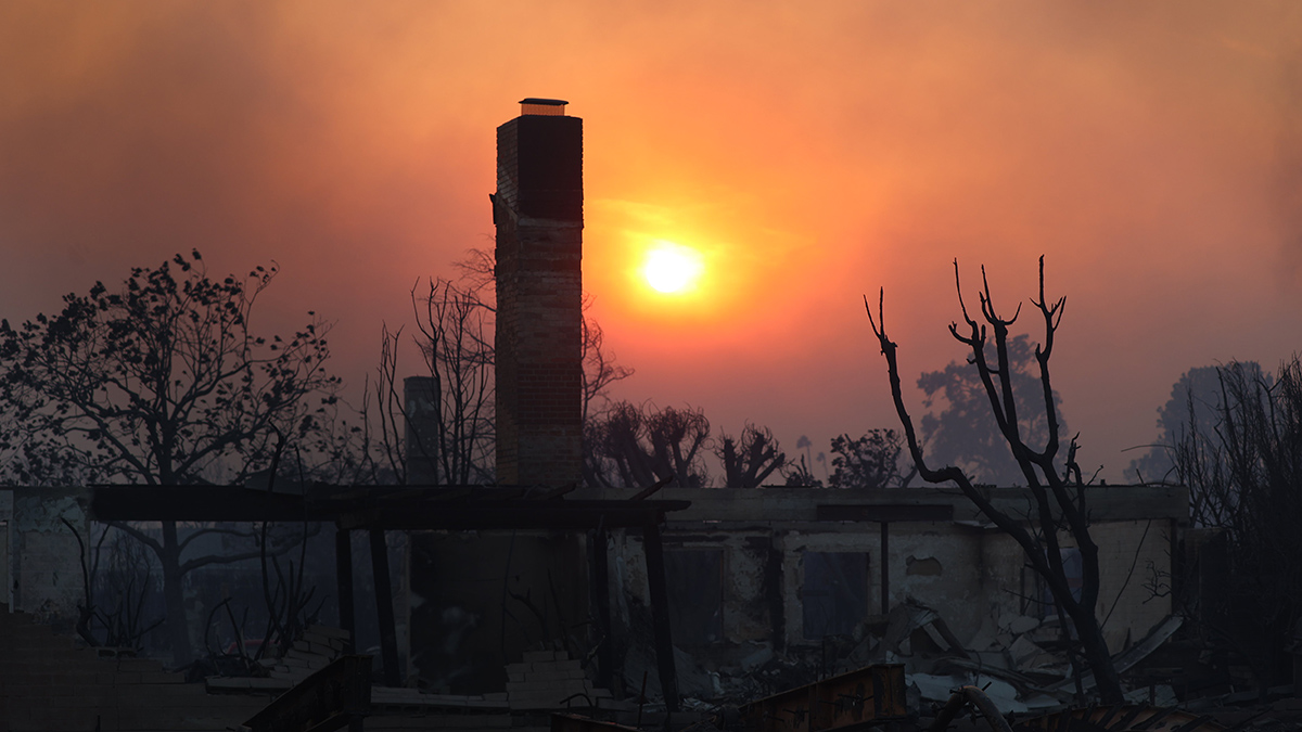
Wildfires are creeping into urban environments with alarming frequency, and they are connected to health problems ranging from respiratory illnesses to hypertension to anxiety. Studying the links between wildfires in these areas and health is challenging because wildfire smoke and ash contain a mix of chemicals from buildings, cars, and electronics, leaving researchers and communities with many unanswered questions.
Barkoski et al. recently published the GeoHealth Framework for Wildland Urban Interface Fires to help researchers quickly visualize the relationships between urban wildfires and health outcomes, as well as identify data gaps and future research priorities. It also aims to improve the coordination among different groups working to support wildfire preparedness, response, and recovery. The researchers built the framework using the example of the 2020 Walbridge Fire, which burned more than 55,000 acres (about 22,258 hectares) in Sonoma County, California. This example helped them understand the types of geoscience and health data that are available and that are needed after a wildland-urban interface fire.
To apply the framework, users define a question and then map various wildfire and health factors and the ways they are connected. For example, they may select environmental factors preceding a specific fire, such as land use and recent weather patterns; characteristics of the fire, including its size and the kinds of materials it burned; and factors that influenced its spread, such as firefighter response, wind, and topography. The team suggests pulling data from sources such as the U.S. Geological Survey, NASA, NOAA, EPA, electronic health records, and public surveys.
These inputs and the known and hypothesized connections among them help users to identify which pollutants a fire may generate, how humans may encounter these pollutants (such as through the air or drinking water), and how these encounters may affect the likelihood of physical or mental health consequences.
The researchers also note that the framework can be expanded and adapted to apply to new research questions. For instance, if researchers want to better understand how wildfire exposure affects the biological mechanisms of disease, they could incorporate epidemiological, toxicological, and clinical research studies into the framework. These studies might include more detailed information about how wildfire smoke harms health, such as gene variants that predispose people to asthma. (GeoHealth, https://doi.org/10.1029/2025GH001380, 2025)
—Saima May Sidik (@saimamay.bsky.social), Science Writer
