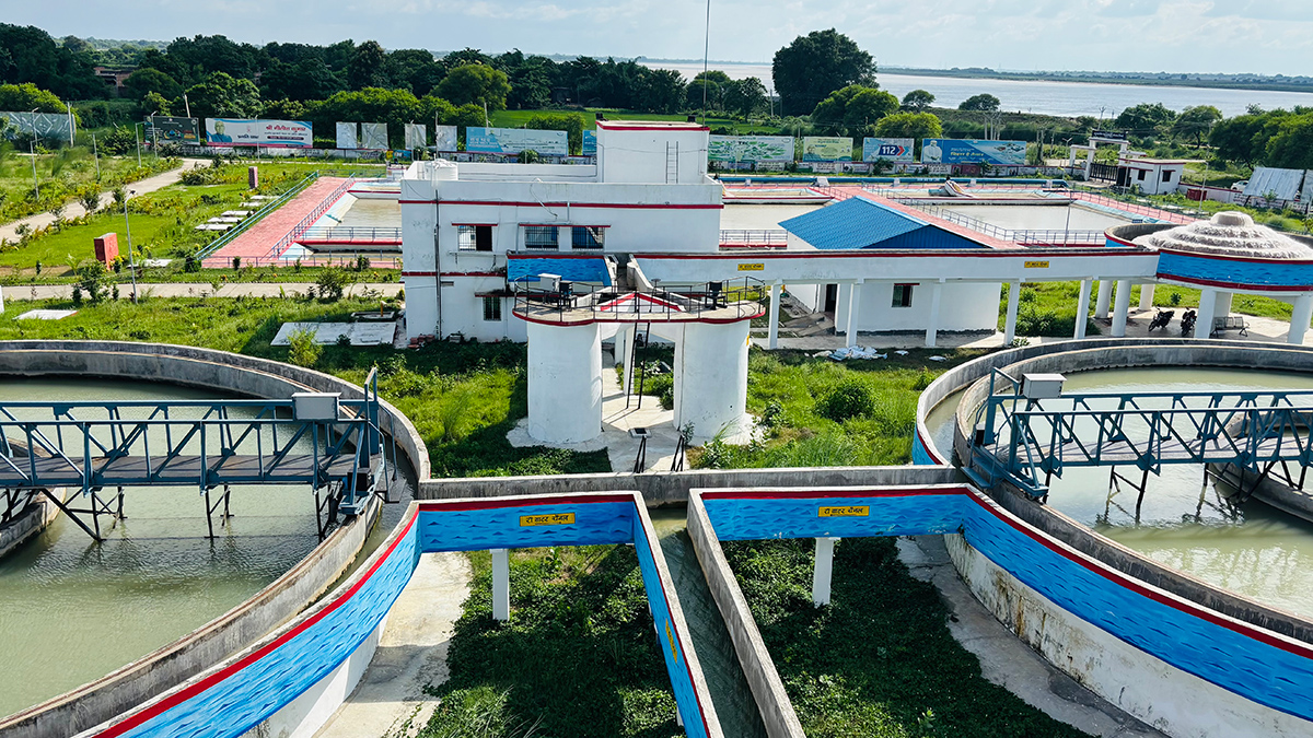
Some regions that did need systems to treat carcinogens such as arsenic went without.
geohealth

Posted inAGU News
The Persistence of PFAS
Researchers around the world are seeking to search and destroy pervasive “forever chemicals.”

Posted inFeatures
Chemical Companies Are Churning Out New PFAS. Where in the World Are They Ending Up?
Bans on older versions of “forever chemicals” seem to be working. But emerging variants behave in ways that scientists are only beginning to pin down.

Posted inNews
As the Coal Industry Fades, Life Expectancies in Coal Country Shift
Coal mining brings a slew of risks to communities, but “being employed is good for your health.”

Posted inNews
Antibiotic Resistance Might Get a Boost from Droughts
Drought has the potential to turn normal soils into perfect breeding grounds for antibiotic-resistant bacteria, new research has found.

Posted inNews
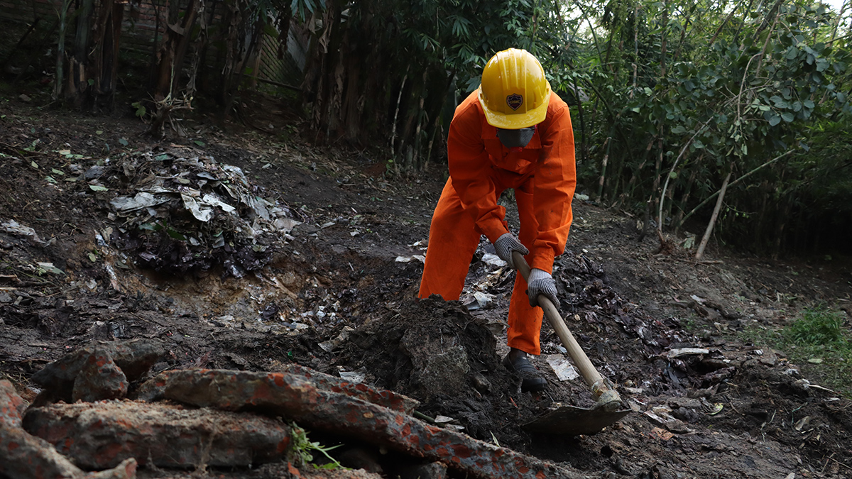
Cleanup of Battery Recycling Sites May Lower Childhood Lead Exposure
Unsound recycling of lead-acid batteries pollutes the soil around houses and agriculture fields in developing countries. Soil remediation might help in lowering the blood lead levels of children.
Posted inScience Updates
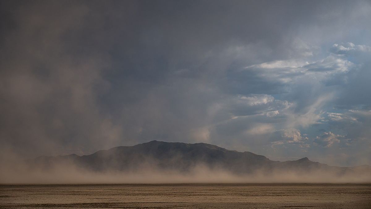
Lessons from Linking Great Salt Lake Desiccation and Depression
By melding different expertise and merging disparate datasets, researchers revealed how lake bed dust may be affecting mental health outcomes across Utah.

Posted inEditors' Vox
The Future of Earth’s Future
With the expansion of the journal’s scope, the Editor-in-Chief of Earth’s Future appoints three Deputy Editors to oversee new thematic areas.