Source: AGU Advances
The Amazon Basin lost about 27,000 square kilometers of forest each year from 2001 to 2016. By 2021, about 17% of the basin had been deforested.
Changes to forest cover can affect surface albedo, evapotranspiration, and other factors that can alter precipitation patterns. And, as the largest tropical forest on Earth, the Amazon plays a crucial role in regulating climate. Previous studies have modeled the effects of deforestation on precipitation, but most used hypothetical or extreme scenarios, such as complete Amazon deforestation.
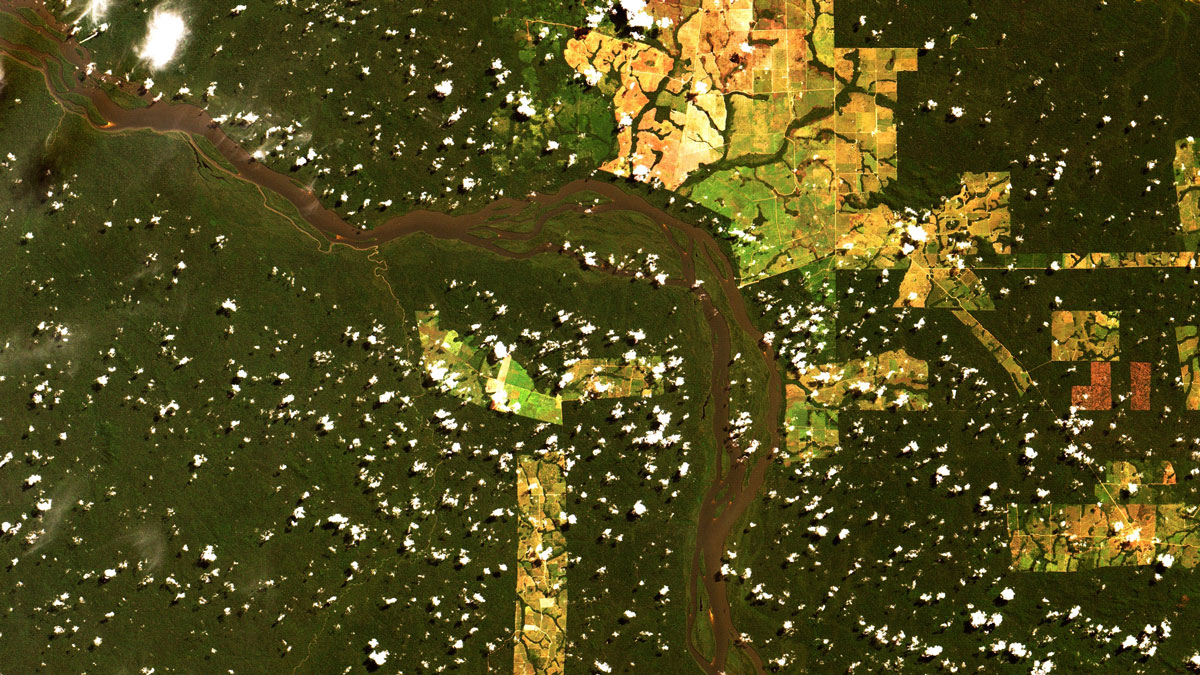
About 30% of Brazilian Amazon deforestation occurred in the states of Mato Grosso and Rondônia in recent decades. Liu et al. used the regional coupled Weather Research and Forecasting model to better understand the effects of deforestation on moisture cycles and precipitation in this area. The researchers also embedded a water vapor tracer tool, which can track sources of moisture throughout the water cycle, into the model. To ensure the data they provided to the model realistically represented both deforestation and regrowth, they used multiple satellite datasets.
The team conducted three simulations of the period 2001–2015: two that included the changes in surface properties shown in the satellite data and one control simulation. (The first year of the simulation was used to allow the model to reach equilibrium and was excluded from the analysis.) They found that a 3.2% mean reduction in forest cover during the included 14-year period caused a 3.5% reduction in evapotranspiration and a 5.4% reduction in precipitation. The reduced evapotranspiration caused warming and drying in the lower atmosphere, which then reduced convection; this reduced atmospheric convection explained nearly 85% of the precipitation reduction seen during the dry season, they found.
The researchers point out that their study highlights the key role land cover changes play in the region’s precipitation levels, as well as the importance of forest protection and sustainable forest management practices. They note that the reduced precipitation during the dry season has negative impacts on river flow, energy generation for hydropower plants, agricultural yields, and fire hazard. (AGU Advances, https://doi.org/10.1029/2025AV001670, 2025)
—Sarah Derouin (@sarahderouin.com), Science Writer

