Source: Tectonics
When an earthquake hits, it sends a wave of energy through Earth’s crust. The wave’s speed depends on the crystalline structure and orientation of the minerals within the layers of rock. It also depends on the directionally dependent variation in its velocity called seismic anisotropy.
Measuring seismic anisotropy can help scientists predict how earthquakes will propagate, determine what minerals lie within Earth’s crust, and examine how the crust deformed over geological timescales. But researchers often lack detailed measurements of the anisotropic characteristics of a given region. Now, by comparing anisotropic measurements from geologic regions worldwide, researchers have compiled a data set that could improve these predictions.
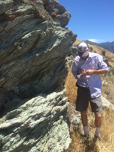
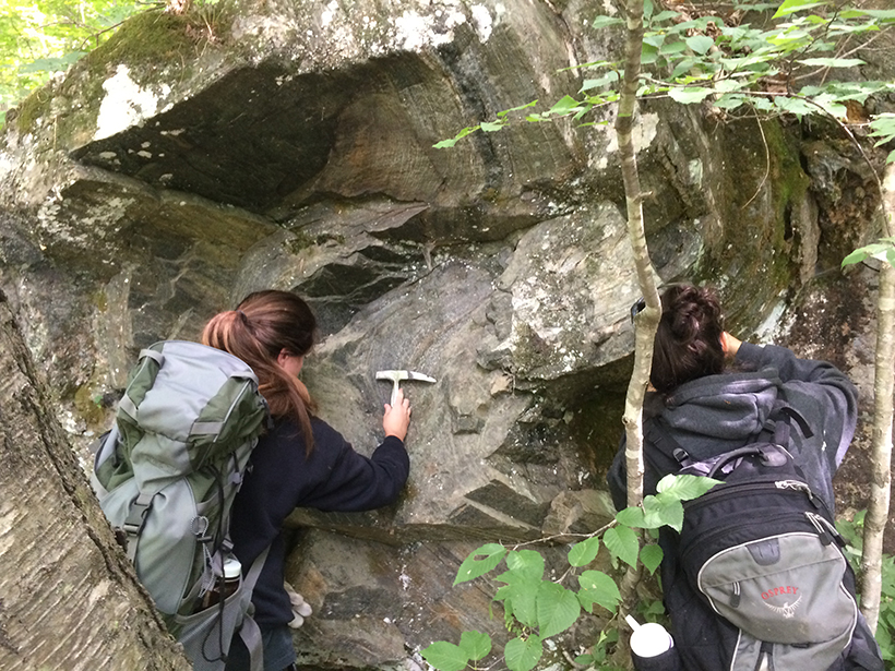
Many factors contribute to seismic anisotropy, including the spatial arrangement of minerals in different types of rock, such as gneiss, schist, and sandstone. Also important are the pores and fissures within and between rock layers. Researchers can calculate the seismic anisotropy of crustal rocks by calculating the properties of individual component minerals or by measuring the velocity of ultrasonic pulses as they travel through the rock’s fabric. The resulting multidimensional mathematical representations of local anisotropy are called tensors.
Scientists often use generic mathematical assumptions to estimate rocks’ anisotropy, an approach that can introduce error. To find more accurate values for different regions and types of rock, Brownlee et al. compiled 94 anisotropy tensors from around the world, including Scotland, New Guinea, Italy, the United States, and Japan. They compared the laboratory tensor measurements with computer models that simulate the patterns of anisotropy likely to develop under various different conditions.
Lacking local data, most models assume that tensors will display a characteristic elliptical, hexagonal symmetry. But the different samples of crustal rocks analyzed in the various labs, which contained a range of minerals, displayed more diverse symmetries than the team expected. What’s more, they showed that the higher the levels of anisotropy in a swathe of crustal rock were, the less elliptical its symmetry was likely to be. This surprising relationship should help researchers better predict how energy will disperse through Earth’s crust and understand how crustal rocks have deformed in the past. (Tectonics, https://doi.org/10.1002/2017TC004625, 2017)
—Emily Underwood, Freelance Writer
Citation:
Underwood, E. (2017), Measuring Earth’s elasticity, Eos, 98, https://doi.org/10.1029/2017EO082947. Published on 02 October 2017.
Text © 2017. The authors. CC BY-NC-ND 3.0
Except where otherwise noted, images are subject to copyright. Any reuse without express permission from the copyright owner is prohibited.