Source: Journal of Geophysical Research: Oceans
Knowing the scales at which the sea and atmosphere influence climate is essential for interpreting climate modeling results. Previous work suggests ocean currents dictate heat exchange at scales ranging up to 500 to 700 kilometers (310 to 430 miles). Yet the influence of ocean currents and weather varies across time and space, and the point at which oceans cede control to weather remains poorly understood.
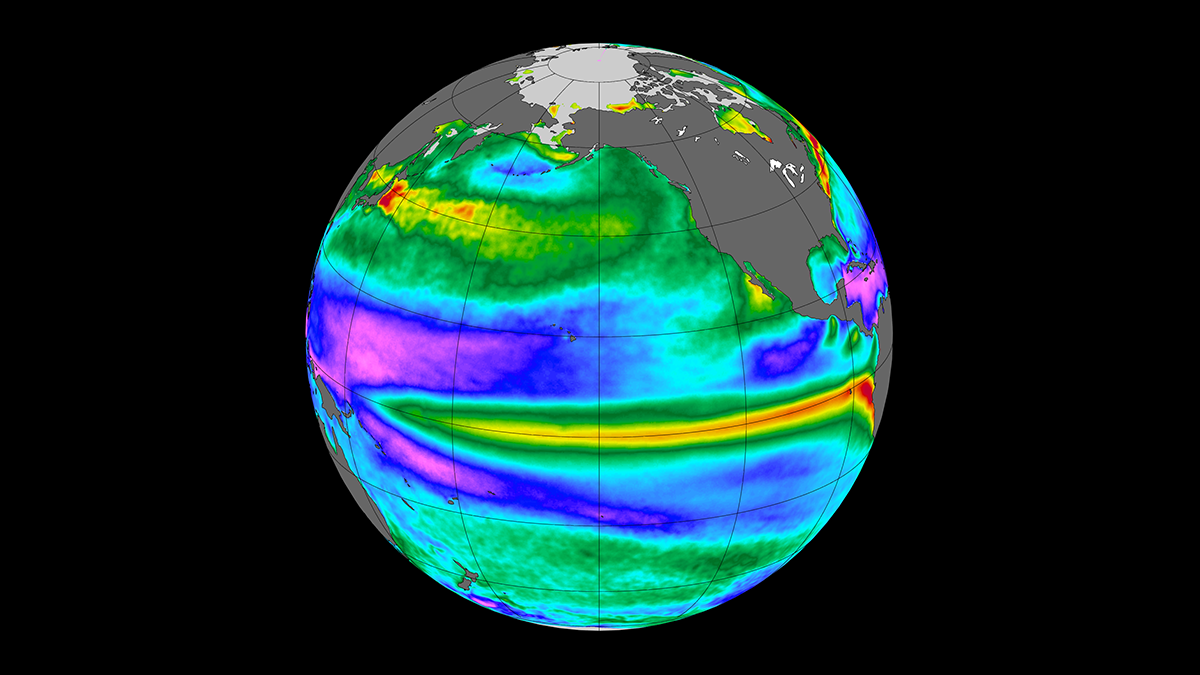
In a recent study, Laurindo et al. investigated the influence of ocean currents and weather in driving heat exchange between air and sea. They focused on two crucial climate-shaping variables: sea surface temperature and turbulent heat flux. The study concentrated on the midlatitudes in the Pacific Ocean.
The authors analyzed the spectra of satellite data from Japanese Ocean Flux Data Sets with Use of Remote-Sensing Observations (J-OFURO3). They combined these data with comprehensive climate simulations, including a high-resolution version that resolves ocean currents at tens of kilometers and a low-resolution version that depicts currents over hundreds of kilometers.
The study found that weather and ocean currents drive variability in sea surface temperature over similar timescales, ranging from 2 months to several decades. The results suggest that at midlatitudes, oceans can cause variability in sea surface temperature and turbulent heat flux up to a 2,000-kilometer range. At larger scales, however, the atmosphere exerts a stronger influence.
According to the authors, this research advances the understanding of air-sea interactions and the importance of scale in the air-sea relationship. The results should further help clarify interpretations of climate modeling, as well as causality in the Earth system as a whole. (Journal of Geophysical Research: Oceans, https://doi.org/10.1029/2021JC018340, 2022)
—Aaron Sidder, Science Writer