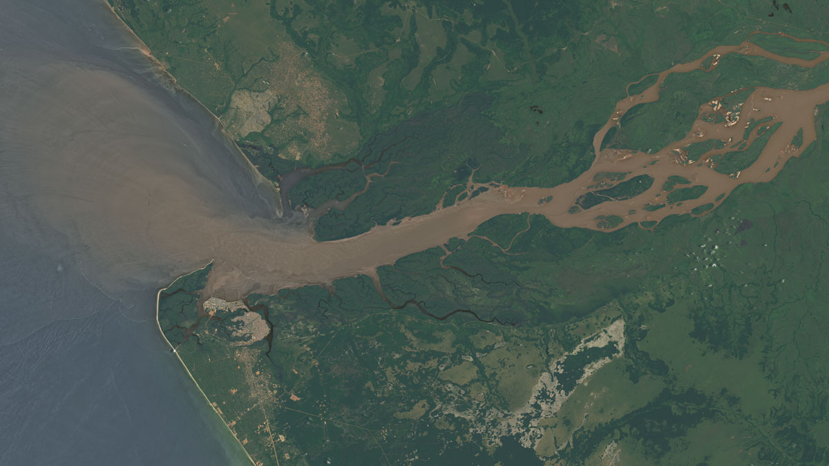
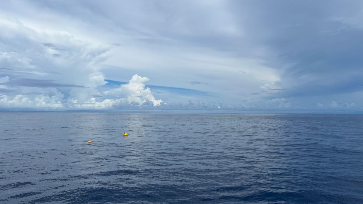
Researchers combined observations and modeling to track the movement of the Congo’s freshwater plume, noting that eddies play a significant role in the water’s transport.
currents
Posted inNews
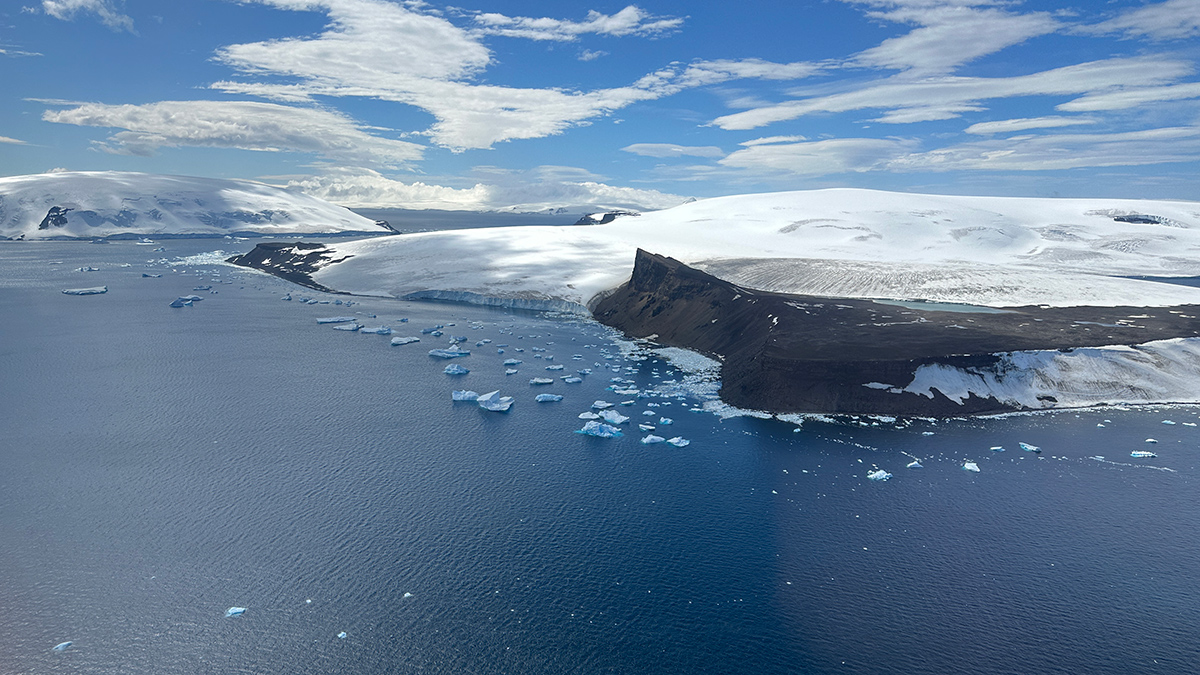
Widening Channels and Westerly Winds Together Formed Earth’s Strongest Current
The Antarctic Circumpolar Current could only develop once wind patterns aligned with new ocean passages 34 million years ago, a new study suggests.
Posted inResearch Spotlights
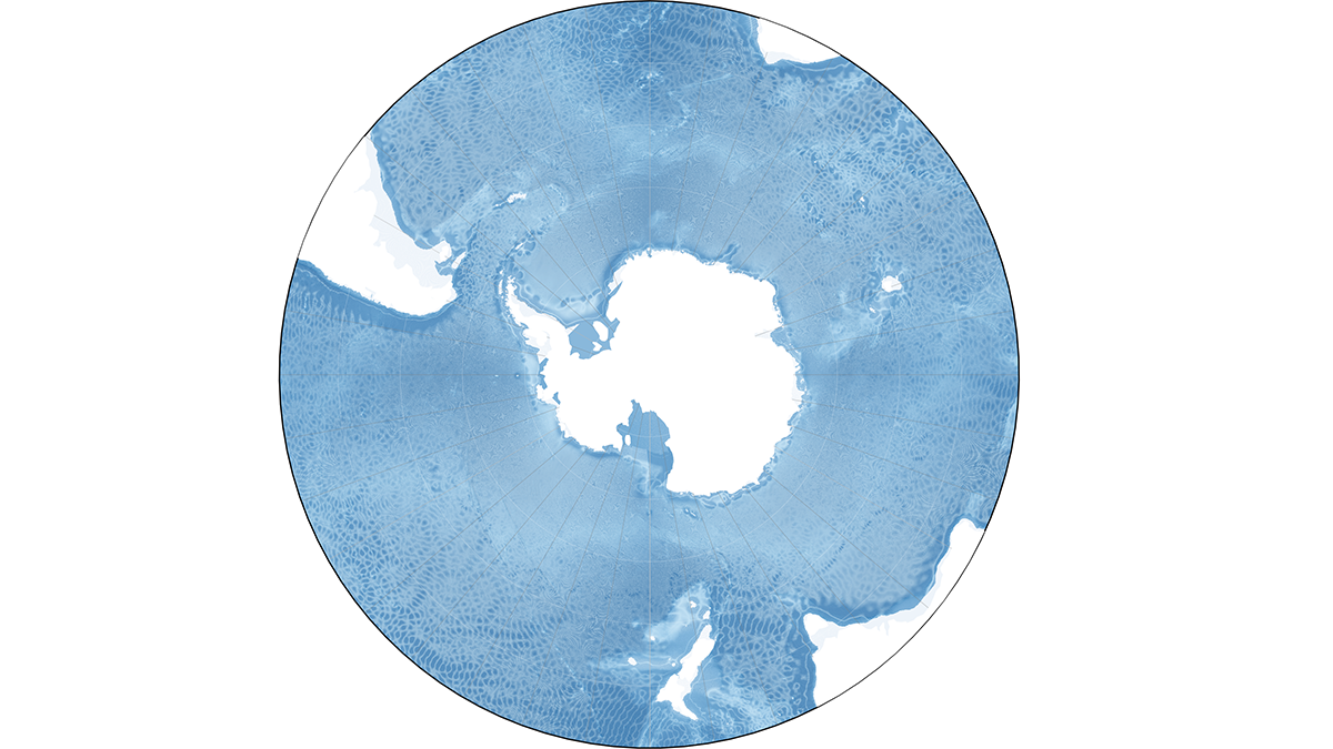
How Internal Waves Transport Energy Thousands of Miles Across the Ocean
For the first time, researchers model energy fluxes from these large-scale underwater waves in and around the Southern Ocean.
Posted inScience Updates
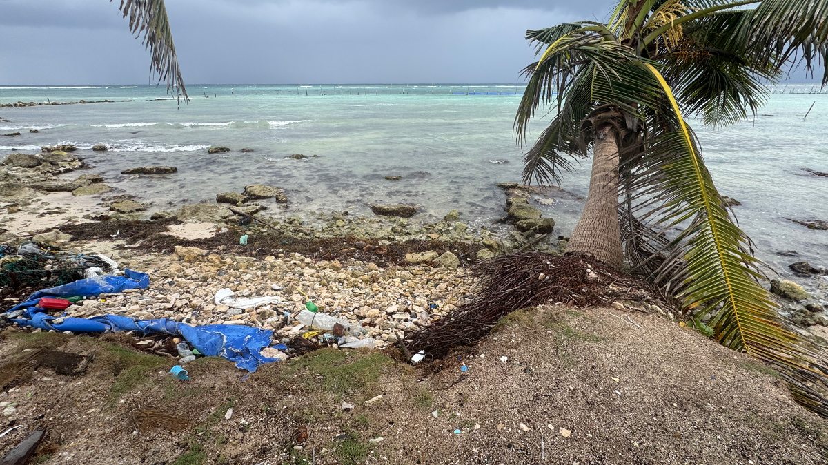
Tracking Microplastics Above and Below the Waves
Measuring plastic particles carried on Cozumel’s sea breezes and ocean currents reveals how simple physics shapes the particles’ pathways and the impacts they may have on coastal regions.
Posted inResearch Spotlights
AI Sheds Light on Hard-to-Study Ocean Currents
The Maluku Strait is a key predictor of conditions in the Indonesian Throughflow, modeling shows.
Posted inNews
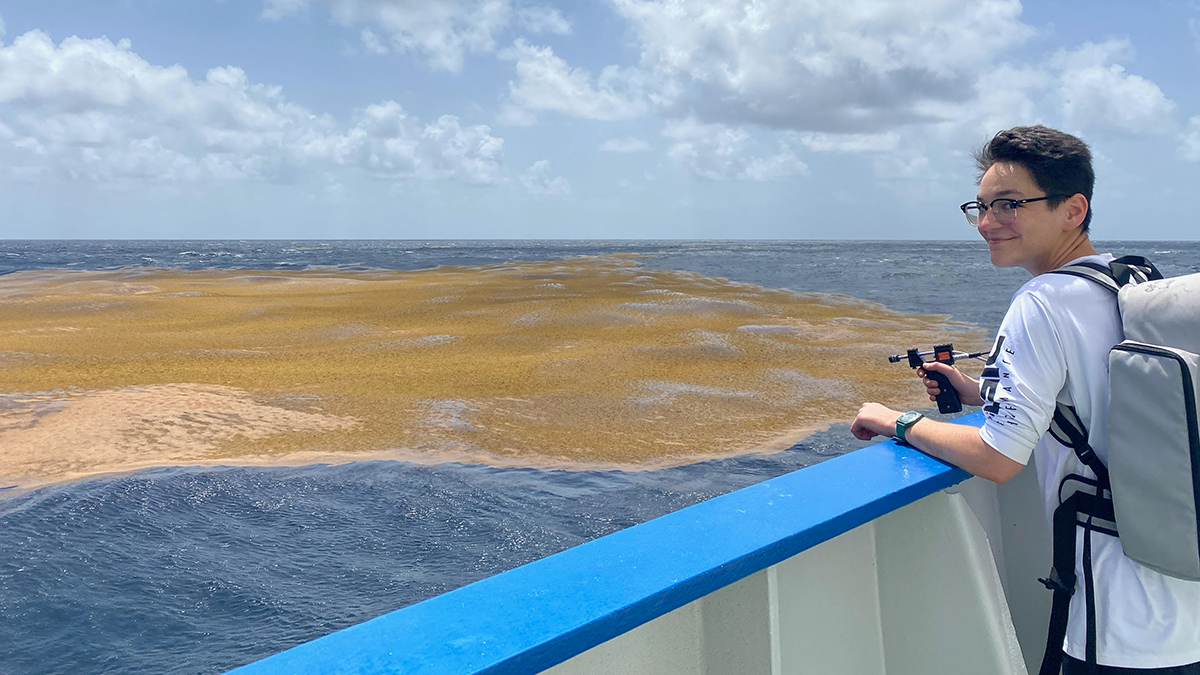
The Northern Sargasso Sea Has Lost Much of Its Namesake Algae
There’s less than a tenth as much Sargassum as there was a few years ago, a shift that may be linked to increasing sea surface temperatures in the Gulf of Mexico.
Posted inNews
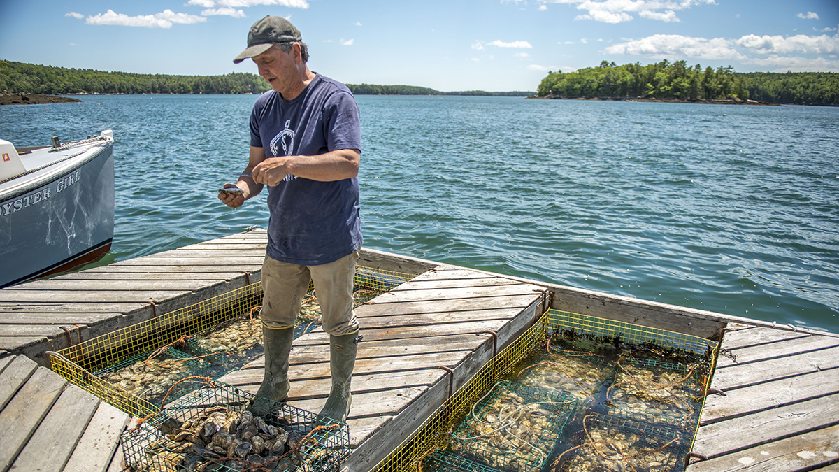
Warming Gulf of Maine Buffers Ocean Acidification—For Now
Scientists constructed a 100-year history of acidity in the Gulf of Maine. They expected coastal variability but were surprised by what they didn’t find: a strong anthropogenic signal.
Posted inResearch Spotlights
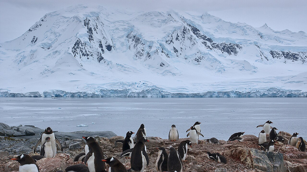
Where Do Antarctic Submarine Canyons Get Their Marine Life?
A new study investigates how much of the phytoplankton in the Palmer Deep submarine canyon is homemade and how much is delivered.
Posted inEditors' Highlights
Kuroshio Intrusions into Luzon Strait Increase Chlorophyll
Using in-situ observational data, scientists reveal that Kuroshio intrusions through the Luzon Strait increase small phytoplankton in the South China Sea.

Posted inResearch Spotlights
Water Density Shifts Can Drive Rapid Changes in AMOC Strength
High-latitude variations in density, which appear to be driven by changes in atmospheric pressure, can propagate to midlatitudes and affect the current’s strength within just a year.