Source: Geophysical Research Letters
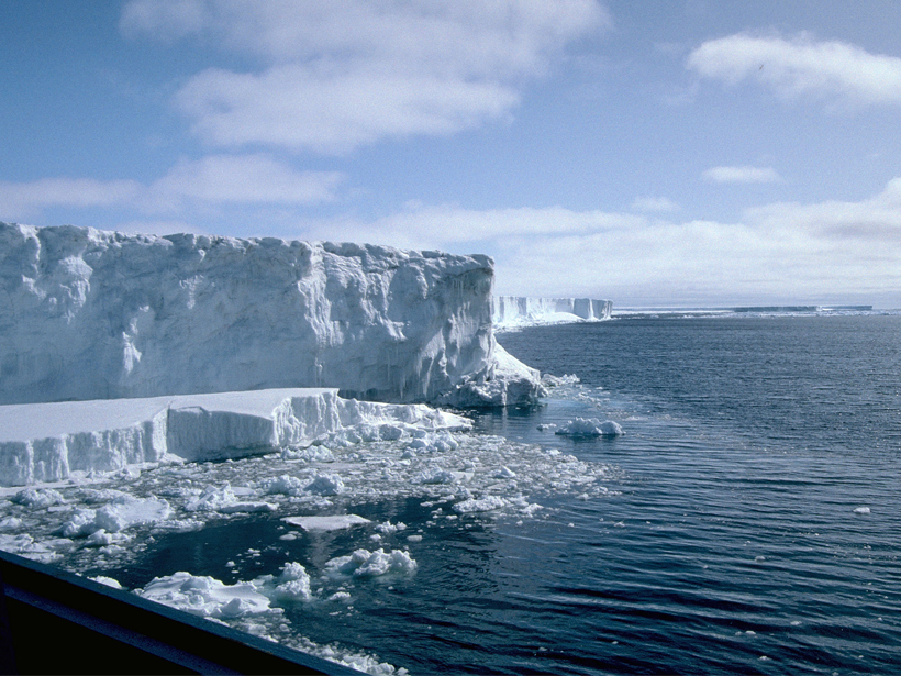
Thick shelves of floating ice line much of Antarctica’s coast, slowing the loss of the glaciers that feed them and stabilizing the continent’s huge interior ice sheet. Scientists need to know the shelves’ thickness in order to monitor ice loss in the region, which can affect global sea level.
Now, using the European Space Agency’s CryoSat-2 satellite, Chuter and Bamber have made the most complete and accurate measurements yet of Antarctic ice shelf thickness. Their measurements include 92.3% of the total surface area of the continent’s ice shelves—more than is covered by any other data set.
The researchers attribute the improved coverage to CryoSat-2’s unique orbit and instruments. CryoSat-2 uses radar altimetry—which relies on pulses of radar waves that bounce off the icy surface—to measure ice shelf elevation. Unlike previously used radar altimeters, CryoSat-2 has no trouble measuring sudden breaks in the slope at the inland limit of the ice shelves—an important region to monitor—called the grounding zone. The researchers collected elevation data from 2011 through 2014 and calculated ice shelf thickness based on the local sea level.
On average, the new elevation measurements were 4 times more accurate than the best previous continent-wide measurements (when compared to data from NASA’s Ice, Clouds and Land Elevation Satellite (ICESat) mission). The biggest improvements were within 10 kilometers of the grounding line, where the base of a floating ice shelf meets Antarctic land. Thickness measurements in this zone are particularly important for ice loss calculations.
The new thickness measurements rely on the assumption that ice shelves float freely in hydrostatic equilibrium with seawater, which means the gravity acting on a shelf is balanced by the upward pressure of the water beneath it (Archimedes’s principle). This assumption may cause errors in the more complex grounding zone, but it is a good approximation for continent-wide ice shelf modeling.
To validate their findings, the scientists compared their data to several ice-penetrating radar data sets, which measure the ice thickness directly. These included the extensively studied Amery Ice Shelf. This shelf is located in East Antarctica and drains several major glaciers. The mean thickness difference between the new satellite-derived ice thickness and the ice-penetrating radar data was 3.3% across the shelf and 4.7% within 10 kilometers of the grounding zone.
The new ice shelf thickness measurements will be made freely available and can be incorporated into the next version of the widely used, continent-wide BEDMAP data set. Beyond ice loss monitoring, the new data will aid efforts to map areas of marine ice and model ocean circulation below the ice shelves. (Geophysical Research Letters, doi:10.1002/2015GL066515, 2015)
—Sarah Stanley, Freelance Writer
Citation: Stanley, S. (2016), Tracking the fate of Antarctica’s ice, Eos, 97, doi:10.1029/2016EO045085. Published on 9 February 2016.
Text © 2016. The authors. CC BY-NC 3.0
Except where otherwise noted, images are subject to copyright. Any reuse without express permission from the copyright owner is prohibited.