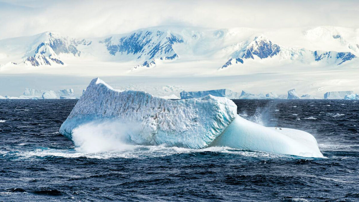
A rift event set off a domino effect of geologic processes that created conditions ripe for Antarctica’s glaciation, a new study suggests.
Antarctica
Posted inResearch Spotlights
Rivers in the Antarctic Sky, Captured in 3D
A new study shows that atmospheric rivers may be responsible for up to 90% of Antarctica’s annual precipitation.

Posted inResearch & Developments
Sea Level Rise is Accelerating, Scientists Confirm
New research closes the sea level budget gap and takes account of the drivers of sea level change.

Posted inNews
Changes in Sea Ice Microstructure Could Affect Climate Models
Granular sea ice needs to be twice as porous as columnar ice to allow water to flow through it—up to 10% brine by volume.
Posted inScience Updates
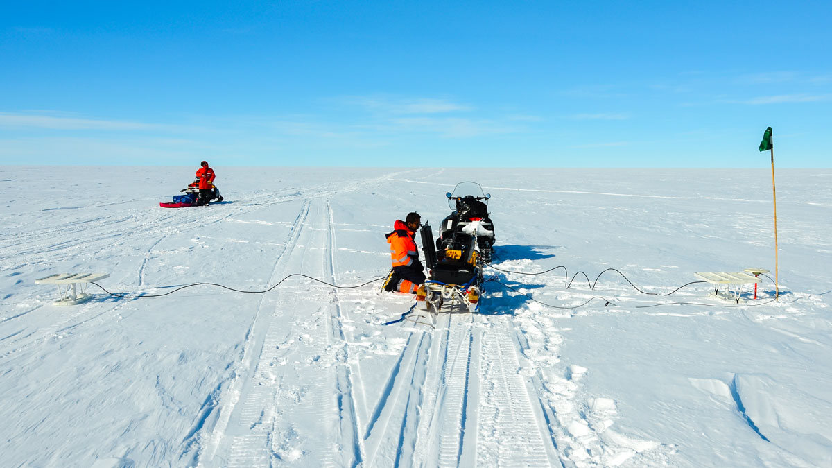
New Directions in Mapping Ice Sheet Fabrics and Flow
Polarimetric radar advances enable scientists to measure orientations of crystals, bubbles, and other properties that affect the flow of glaciers and ice sheets—and their contributions to sea level.
Posted inEditors' Highlights
Drone Imagery Reveals Marked Variability in Antarctic Snow Roughness
Multi-temporal UAV oblique photogrammetry reveals significant fine-scale variability in Antarctic snow roughness driven by surface type, measurement scale, model choice, and meteorological conditions.
Posted inNews
Tracing the Path of PFAS Across Antarctica
A new study examines the presence of forever chemicals in one of Earth’s most remote regions.
Posted inNews
Widening Channels and Westerly Winds Together Formed Earth’s Strongest Current
The Antarctic Circumpolar Current could only develop once wind patterns aligned with new ocean passages 34 million years ago, a new study suggests.
Posted inResearch Spotlights
Glaciers May Flow into the Ocean More Quickly Than We Think
New research found that adjusting a key model variable may give more accurate predictions of glacial retreat.
Posted inEditors' Highlights
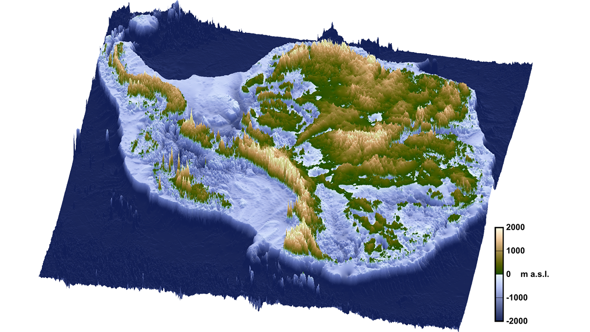
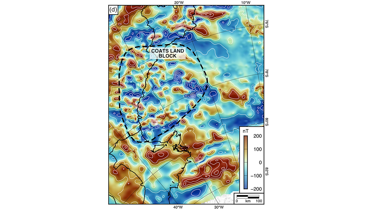
An Ancient Landscape Beneath the East Antarctic Ice Sheet
Geophysical observations of the subglacial topography of Coats Land reveal a landscape formed by tectonics and fluvial erosion that influenced the formation of the East Antarctic Ice Sheet.